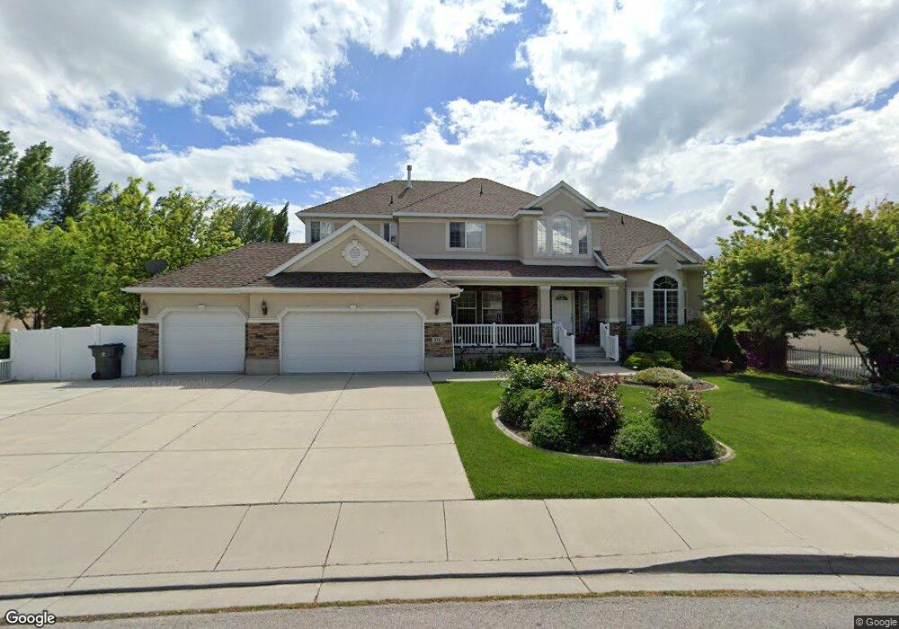
371 W 600 N Lindon, UT 84042
Estimated Value: $798,000 - $1,160,000
4
Beds
3
Baths
3,279
Sq Ft
$311/Sq Ft
Est. Value
About This Home
This home is located at 371 W 600 N, Lindon, UT 84042 and is currently estimated at $1,020,458, approximately $311 per square foot. 371 W 600 N is a home located in Utah County with nearby schools including Lindon Elementary School, Oak Canyon Junior High School, and Pleasant Grove High School.
Ownership History
Date
Name
Owned For
Owner Type
Purchase Details
Closed on
Aug 29, 2023
Sold by
Mueller Wilford and Mueller Christina N
Bought by
Mueller Family Trust and Mueller
Current Estimated Value
Purchase Details
Closed on
Nov 21, 2002
Sold by
Mueller Wilford
Bought by
Mueller Wilford and Mueller Christina E
Purchase Details
Closed on
Mar 20, 2002
Sold by
Ivory Homes Ltd
Bought by
Mueller Wilford and Mueller Christina N
Home Financials for this Owner
Home Financials are based on the most recent Mortgage that was taken out on this home.
Original Mortgage
$177,500
Interest Rate
5.87%
Create a Home Valuation Report for This Property
The Home Valuation Report is an in-depth analysis detailing your home's value as well as a comparison with similar homes in the area
Home Values in the Area
Average Home Value in this Area
Purchase History
| Date | Buyer | Sale Price | Title Company |
|---|---|---|---|
| Mueller Family Trust | -- | None Listed On Document | |
| Mueller Wilford | -- | Equity Title Agency Inc | |
| Mueller Wilford | -- | Equity Title Agency Inc | |
| Mueller Wilford | -- | Cottonwood Title |
Source: Public Records
Mortgage History
| Date | Status | Borrower | Loan Amount |
|---|---|---|---|
| Previous Owner | Mueller Wilford | $177,500 |
Source: Public Records
Tax History Compared to Growth
Tax History
| Year | Tax Paid | Tax Assessment Tax Assessment Total Assessment is a certain percentage of the fair market value that is determined by local assessors to be the total taxable value of land and additions on the property. | Land | Improvement |
|---|---|---|---|---|
| 2025 | $4,273 | $563,860 | $459,800 | $565,400 |
| 2024 | $4,273 | $526,735 | $0 | $0 |
| 2023 | $4,035 | $534,270 | $0 | $0 |
| 2022 | $4,018 | $513,975 | $0 | $0 |
| 2021 | $3,500 | $675,100 | $291,800 | $383,300 |
| 2020 | $3,339 | $633,900 | $265,300 | $368,600 |
| 2019 | $2,955 | $585,300 | $216,700 | $368,600 |
| 2018 | $2,992 | $558,700 | $190,100 | $368,600 |
| 2017 | $3,021 | $302,445 | $0 | $0 |
| 2016 | $3,078 | $285,065 | $0 | $0 |
| 2015 | $2,900 | $253,880 | $0 | $0 |
| 2014 | $2,540 | $220,275 | $0 | $0 |
Source: Public Records
Map
Nearby Homes
- 367 W 600 N
- 377 W 600 N
- 384 W Songbird Ln Unit 5
- 372 W Songbird Ln Unit 8
- 368 W Songbird Ln Unit 10
- 380 W Songbird Ln Unit 6
- 376 W Songbird Ln Unit 7
- 364 W Songbird Ln Unit 10
- 390 W Songbird Ln
- 394 W Songbird Ln
- 356 W Songbird Ln Unit 12
- 360 W Songbird Ln Unit 11
- 363 W 600 N
- 398 W Songbird Ln
- 375 W 625 N
- 369 W Songbird Ln Unit 31
- 377 W Songbird Ln Unit 33
- 381 W Songbird Ln Unit 34
- 373 W Songbird Ln Unit 32
- 372 W 625 N