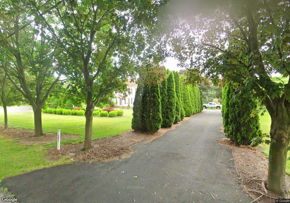
371 Whig Lane Rd Pilesgrove, NJ 08098
Estimated Value: $517,682 - $740,000
--
Bed
--
Bath
2,800
Sq Ft
$223/Sq Ft
Est. Value
About This Home
This home is located at 371 Whig Lane Rd, Pilesgrove, NJ 08098 and is currently estimated at $623,171, approximately $222 per square foot. 371 Whig Lane Rd is a home located in Salem County with nearby schools including Mary S. Shoemaker School and Woodstown High School.
Ownership History
Date
Name
Owned For
Owner Type
Purchase Details
Closed on
Nov 24, 2014
Sold by
Haney Robert P and Haney Constance J
Bought by
Truster Gerald J
Current Estimated Value
Purchase Details
Closed on
Aug 27, 1999
Sold by
Aurigemma Ralph and Aurigemma Marlene M
Bought by
Read David and Read Katherine H
Home Financials for this Owner
Home Financials are based on the most recent Mortgage that was taken out on this home.
Original Mortgage
$140,000
Interest Rate
7.5%
Create a Home Valuation Report for This Property
The Home Valuation Report is an in-depth analysis detailing your home's value as well as a comparison with similar homes in the area
Home Values in the Area
Average Home Value in this Area
Purchase History
| Date | Buyer | Sale Price | Title Company |
|---|---|---|---|
| Truster Gerald J | $25,000 | None Available | |
| Read David | $190,000 | Commonwealth Land Title Ins |
Source: Public Records
Mortgage History
| Date | Status | Borrower | Loan Amount |
|---|---|---|---|
| Previous Owner | Read David | $140,000 |
Source: Public Records
Tax History Compared to Growth
Tax History
| Year | Tax Paid | Tax Assessment Tax Assessment Total Assessment is a certain percentage of the fair market value that is determined by local assessors to be the total taxable value of land and additions on the property. | Land | Improvement |
|---|---|---|---|---|
| 2025 | $11,772 | $322,000 | $82,100 | $239,900 |
| 2024 | $11,943 | $322,000 | $82,100 | $239,900 |
| 2023 | $11,943 | $322,000 | $82,100 | $239,900 |
| 2022 | $11,251 | $322,000 | $82,100 | $239,900 |
| 2021 | $10,833 | $322,000 | $82,100 | $239,900 |
| 2020 | $10,462 | $322,000 | $82,100 | $239,900 |
| 2019 | $10,156 | $322,000 | $82,100 | $239,900 |
| 2018 | $9,750 | $322,000 | $82,100 | $239,900 |
| 2017 | $9,431 | $322,000 | $82,100 | $239,900 |
| 2016 | $9,048 | $322,000 | $82,100 | $239,900 |
| 2015 | $8,372 | $322,000 | $82,100 | $239,900 |
| 2014 | $8,063 | $322,000 | $82,100 | $239,900 |
Source: Public Records
Map
Nearby Homes
- 328 Avis Mill Rd
- 646 Lincoln Rd
- 230 Point Airy Rd
- 8 Lake St
- 236 E Lake Rd
- 801 Eldridges Hill Rd
- 812 Lincoln Rd
- 673 Harrisonville Rd
- 29 Kingsberry Ln
- 73 Kingsberry Ln
- 96 Kingsberry Ln
- 276 Woodstown Daretown Rd
- 280 Woodstown Daretown Rd
- 340 Woodstown Daretown Rd
- 8 Eichmann Way
- 178 E Millbrooke Ave
- 76 Whig Lane Rd
- 36 Bowen Ave
- 50 Colson Ct
- 2A Laurel Dr
- 10 Wick Dr
- 372 Whig Lane Rd
- 363 Whig Lane Rd
- 15 Wick Dr
- 11 Wick Dr
- 8 Wick Dr
- 369 Avis Mill Rd
- 361 Avis Mill Rd
- 9 Wick Dr
- 6 Wick Dr
- 383 Whig Lane Rd
- 356 Whig Lane Rd
- 0 Whig Lane Rd Unit 5793887
- 0 Whig Lane Rd Unit 5793892
- 0 Whig Lane Rd Unit 5998316
- 0 Whig Lane Rd Unit 1009434650
- 353 Avis Mill Rd
- 1 Arthurs Ct
- 4 Arthurs Ct
- 4 Wick Dr