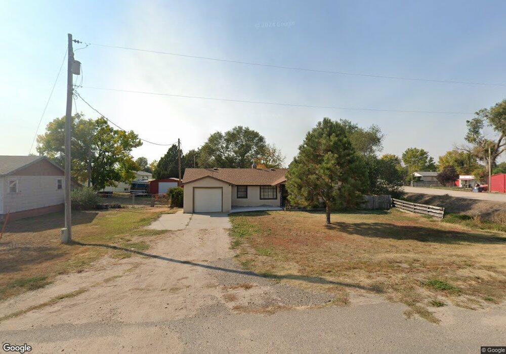
3710 Avenue I Scottsbluff, NE 69361
Estimated Value: $122,000 - $158,862
2
Beds
2
Baths
1,276
Sq Ft
$111/Sq Ft
Est. Value
About This Home
This home is located at 3710 Avenue I, Scottsbluff, NE 69361 and is currently estimated at $142,216, approximately $111 per square foot. 3710 Avenue I is a home located in Scotts Bluff County with nearby schools including Lincoln Heights Elementary School, Bluffs Middle School, and Scottsbluff Senior High School.
Ownership History
Date
Name
Owned For
Owner Type
Purchase Details
Closed on
May 21, 2025
Sold by
Thomas David and Thomas Teresa
Bought by
Mueller Kalen L
Current Estimated Value
Home Financials for this Owner
Home Financials are based on the most recent Mortgage that was taken out on this home.
Original Mortgage
$126,262
Outstanding Balance
$125,812
Interest Rate
6.62%
Mortgage Type
New Conventional
Estimated Equity
$16,404
Purchase Details
Closed on
Aug 6, 2009
Sold by
Rusch Leo R and Rusch Josephine C
Bought by
Rusch Leo R and Rusch Josephine C
Create a Home Valuation Report for This Property
The Home Valuation Report is an in-depth analysis detailing your home's value as well as a comparison with similar homes in the area
Home Values in the Area
Average Home Value in this Area
Purchase History
| Date | Buyer | Sale Price | Title Company |
|---|---|---|---|
| Mueller Kalen L | $125,000 | Title Express | |
| Rusch Leo R | -- | -- |
Source: Public Records
Mortgage History
| Date | Status | Borrower | Loan Amount |
|---|---|---|---|
| Open | Mueller Kalen L | $126,262 | |
| Closed | Mueller Kalen L | $5,000 |
Source: Public Records
Tax History Compared to Growth
Tax History
| Year | Tax Paid | Tax Assessment Tax Assessment Total Assessment is a certain percentage of the fair market value that is determined by local assessors to be the total taxable value of land and additions on the property. | Land | Improvement |
|---|---|---|---|---|
| 2024 | $1,195 | $107,930 | $22,460 | $85,470 |
| 2023 | $1,488 | $80,467 | $12,632 | $67,835 |
| 2022 | $1,488 | $80,467 | $12,632 | $67,835 |
| 2021 | $1,452 | $77,237 | $12,632 | $64,605 |
| 2020 | $1,401 | $74,034 | $14,763 | $59,271 |
| 2019 | $1,391 | $73,646 | $14,375 | $59,271 |
| 2018 | $1,401 | $73,646 | $14,375 | $59,271 |
| 2017 | $406 | $73,646 | $14,375 | $59,271 |
| 2016 | $549 | $73,646 | $14,375 | $59,271 |
| 2015 | $557 | $73,646 | $14,375 | $59,271 |
| 2014 | $384 | $71,366 | $14,375 | $56,991 |
| 2012 | -- | $71,366 | $14,375 | $56,991 |
Source: Public Records
Map
Nearby Homes
- TBD W 36th St
- 0 W 36th St Unit 20254154
- 806 W 36th St
- 10 Stoney Creek Dr
- 414 W 33rd St
- 3017 Avenue F
- 2809 Avenue D
- 3415 Ross Ave
- Lot 1 31st St
- Lot 2 31st St
- TBD U S Highway 26
- 2401 Avenue E
- 3428 Cary Ct
- 4301 Shady Ln
- 2417 Avenue A
- 2124 Avenue D
- 2113 Avenue O
- 512 E 35th St
- 2102 Avenue C
- 2015 Avenue E
- 3618 Avenue I
- 914 W Adler Dr
- 918 W Adler Dr
- 926 W Adler Dr
- 921 W 36th St Unit OFFICE BUILDING
- 921 W 36th St Unit north of maverick
- 913 W Adler Dr
- 1002 W Adler Dr
- 3810 Avenue I Unit 3810,3812,3814,3818
- 917 W Adler Dr
- 1006 W Adler Dr
- 3824 Avenue I
- 1018 W Adler Dr
- 1013 W Adler Dr
- 914 W 36th St Unit US 26 AND HIGHWAY 71
- 914 W 36th St
- 3832 Avenue I
- 3840 Avenue I
- 1026 W Adler Dr
- 1012 W 36th St