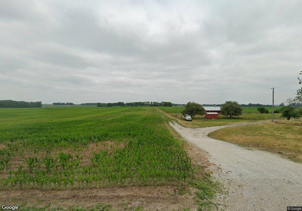
3710 E 600 S Lafayette, IN 47909
Estimated Value: $349,000 - $478,000
4
Beds
1
Bath
1,968
Sq Ft
$205/Sq Ft
Est. Value
About This Home
This home is located at 3710 E 600 S, Lafayette, IN 47909 and is currently estimated at $403,576, approximately $205 per square foot. 3710 E 600 S is a home located in Tippecanoe County with nearby schools including Woodland Elementary School, Wea Ridge Middle School, and McCutcheon High School.
Ownership History
Date
Name
Owned For
Owner Type
Purchase Details
Closed on
Nov 12, 2019
Sold by
Miller Prudence W
Bought by
Miller Mark A and Miller Pridence W
Current Estimated Value
Purchase Details
Closed on
Oct 29, 2014
Sold by
Miller Bonnie J
Bought by
Miller Prudence W
Home Financials for this Owner
Home Financials are based on the most recent Mortgage that was taken out on this home.
Original Mortgage
$175,000
Outstanding Balance
$135,087
Interest Rate
4.21%
Mortgage Type
New Conventional
Estimated Equity
$268,489
Purchase Details
Closed on
Dec 22, 2006
Sold by
Miller John Leonard
Bought by
Miller Bonnie J and Merle Miller L
Home Financials for this Owner
Home Financials are based on the most recent Mortgage that was taken out on this home.
Original Mortgage
$100,000
Interest Rate
6.24%
Mortgage Type
Unknown
Create a Home Valuation Report for This Property
The Home Valuation Report is an in-depth analysis detailing your home's value as well as a comparison with similar homes in the area
Purchase History
| Date | Buyer | Sale Price | Title Company |
|---|---|---|---|
| Miller Mark A | -- | None Available | |
| Miller Prudence W | -- | -- | |
| Miller Bonnie J | -- | None Available |
Source: Public Records
Mortgage History
| Date | Status | Borrower | Loan Amount |
|---|---|---|---|
| Open | Miller Prudence W | $175,000 | |
| Closed | Miller Bonnie J | $100,000 |
Source: Public Records
Tax History
| Year | Tax Paid | Tax Assessment Tax Assessment Total Assessment is a certain percentage of the fair market value that is determined by local assessors to be the total taxable value of land and additions on the property. | Land | Improvement |
|---|---|---|---|---|
| 2024 | $2,359 | $289,400 | $34,400 | $255,000 |
| 2023 | $2,227 | $274,200 | $34,400 | $239,800 |
| 2022 | $1,952 | $244,800 | $34,400 | $210,400 |
| 2021 | $1,765 | $222,000 | $34,400 | $187,600 |
| 2020 | $1,633 | $205,400 | $34,400 | $171,000 |
| 2019 | $1,475 | $196,100 | $34,400 | $161,700 |
| 2018 | $1,416 | $190,500 | $34,400 | $156,100 |
| 2017 | $1,384 | $185,700 | $34,400 | $151,300 |
| 2016 | $1,341 | $183,300 | $34,400 | $148,900 |
| 2014 | $1,229 | $165,300 | $34,400 | $130,900 |
| 2013 | $2,481 | $163,900 | $34,400 | $129,500 |
Source: Public Records
Map
Nearby Homes
- 3675 E 600 S
- 3535 E 600 S
- 3823 E 600 S
- 3902 E 600 S
- 3418 E 600 S
- 3425 E 600 S
- 6301 Forrest Grove Ln
- 3374 E 600 S
- 6315 Forrest Grove Ln
- 6070 Sandwood Ln S
- 3330 E 600 S
- 3511 E 600 S
- 6078 Sandwood Ln S
- 6314 Forrest Grove Ln
- 6062 Sandwood Ln S
- 4011 E 600 S
- 3308 E 600 S
- 6096 Sandwood Ln S
- 6068 Sandwood Ln S
- 6323 Forrest Grove Ln
Your Personal Tour Guide
Ask me questions while you tour the home.