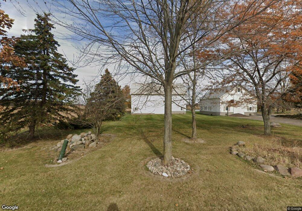
3710 E Cronk Rd Owosso, MI 48867
Estimated Value: $284,000 - $839,278
3
Beds
3
Baths
1,946
Sq Ft
$253/Sq Ft
Est. Value
About This Home
This home is located at 3710 E Cronk Rd, Owosso, MI 48867 and is currently estimated at $491,759, approximately $252 per square foot. 3710 E Cronk Rd is a home with nearby schools including Corunna High School.
Ownership History
Date
Name
Owned For
Owner Type
Purchase Details
Closed on
Apr 24, 2018
Sold by
Sherry Lynn Kenney
Bought by
Lepior Michael
Current Estimated Value
Home Financials for this Owner
Home Financials are based on the most recent Mortgage that was taken out on this home.
Original Mortgage
$72,675
Outstanding Balance
$62,543
Interest Rate
4.47%
Estimated Equity
$429,216
Purchase Details
Closed on
Nov 8, 2017
Sold by
Lepior Michael D
Bought by
Lepior Michael D and Lepior Trust
Create a Home Valuation Report for This Property
The Home Valuation Report is an in-depth analysis detailing your home's value as well as a comparison with similar homes in the area
Purchase History
| Date | Buyer | Sale Price | Title Company |
|---|---|---|---|
| Lepior Michael | $85,500 | -- | |
| Lepior Michael D | -- | None Available |
Source: Public Records
Mortgage History
| Date | Status | Borrower | Loan Amount |
|---|---|---|---|
| Open | Lepior Michael | $72,675 | |
| Closed | Lepior Michael | -- |
Source: Public Records
Tax History
| Year | Tax Paid | Tax Assessment Tax Assessment Total Assessment is a certain percentage of the fair market value that is determined by local assessors to be the total taxable value of land and additions on the property. | Land | Improvement |
|---|---|---|---|---|
| 2025 | $6,542 | $416,600 | $0 | $0 |
| 2024 | $6,542 | $396,000 | $0 | $0 |
| 2023 | $2,845 | $334,200 | $0 | $0 |
| 2022 | $3,549 | $292,900 | $0 | $0 |
| 2021 | $6,021 | $278,300 | $0 | $0 |
| 2020 | $3,298 | $252,400 | $0 | $0 |
| 2019 | $4,605 | $242,600 | $0 | $0 |
| 2018 | $5,532 | $230,700 | $0 | $0 |
| 2017 | $5,259 | $239,100 | $0 | $0 |
| 2016 | $2,201 | $239,100 | $0 | $0 |
| 2015 | $2,201 | $224,300 | $0 | $0 |
| 2014 | -- | $223,100 | $0 | $0 |
Source: Public Records
Map
Nearby Homes
- 1201 N Kerby Rd
- 2770 N Geeck Rd
- 215 Sylvia Dr
- 215 Stanley Dr
- V/L E M 21
- 1845 Fawn Cir
- 1859 Big Bear Dr
- 230 Elizabeth Dr
- V/L E Main St
- 1431 Pintail Ct
- 1430 Mallard Cir
- 607 E King St
- 1473 Mallard Cir
- 205 Ferry St
- Vacant Copas Rd
- 2445 N Hickory Rd
- 121 Mill St
- V/L Short St
- 1200 N Dewey St
- 570 W Wildwood Dr
- 2600 Escott Rd
- 2540 Escott Rd
- 2791 Escott Rd
- 2881 Escott Rd
- 3824 E Cronk Rd
- 2485 Escott Rd
- 2300 Escott Rd
- 2325 Escott Rd
- 3979 E Cronk Rd
- 3392 E Wildermuth Rd
- 3705 E Cronk Rd
- 4069 E Cronk Rd
- 3311 E Wildermuth Rd
- 3901 E Wilkinson Rd
- 3300 E Wildermuth Rd
- 3989 E Wilkinson Rd
- 3250 E Wildermuth Rd
- 4300 E Cronk Rd
- 2050 Escott Rd
- 3734 E Wilkinson Rd
Your Personal Tour Guide
Ask me questions while you tour the home.