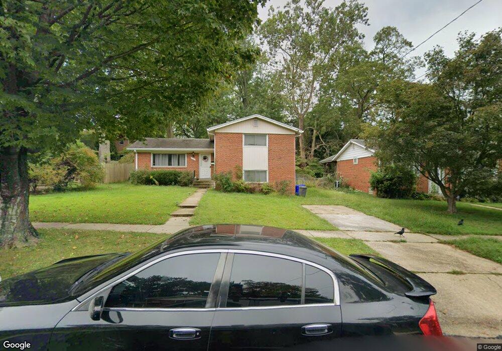
3710 Emily St Kensington, MD 20895
North Kensington NeighborhoodEstimated Value: $556,765 - $681,000
--
Bed
3
Baths
1,820
Sq Ft
$344/Sq Ft
Est. Value
About This Home
This home is located at 3710 Emily St, Kensington, MD 20895 and is currently estimated at $625,441, approximately $343 per square foot. 3710 Emily St is a home located in Montgomery County with nearby schools including Mancelona Middle School, Rock View Elementary School, and Newport Mill Middle School.
Ownership History
Date
Name
Owned For
Owner Type
Purchase Details
Closed on
May 22, 2024
Sold by
Xeron Efthimios G
Bought by
Efthimios G Xeron Living Trust and Xeron
Current Estimated Value
Purchase Details
Closed on
Nov 4, 2004
Sold by
Efird Nadine
Bought by
Xeron Efthimios G
Purchase Details
Closed on
Jan 27, 2004
Sold by
Simpson Joseph and Simpson M F
Bought by
Efird Nadine
Create a Home Valuation Report for This Property
The Home Valuation Report is an in-depth analysis detailing your home's value as well as a comparison with similar homes in the area
Home Values in the Area
Average Home Value in this Area
Purchase History
| Date | Buyer | Sale Price | Title Company |
|---|---|---|---|
| Efthimios G Xeron Living Trust | -- | None Listed On Document | |
| Efthimios G Xeron Living Trust | -- | None Listed On Document | |
| Xeron Efthimios G | $389,000 | -- | |
| Efird Nadine | -- | -- | |
| Efird Nadine | -- | -- |
Source: Public Records
Tax History Compared to Growth
Tax History
| Year | Tax Paid | Tax Assessment Tax Assessment Total Assessment is a certain percentage of the fair market value that is determined by local assessors to be the total taxable value of land and additions on the property. | Land | Improvement |
|---|---|---|---|---|
| 2025 | $6,158 | $484,500 | -- | -- |
| 2024 | $6,158 | $471,400 | $217,000 | $254,400 |
| 2023 | $5,816 | $443,767 | $0 | $0 |
| 2022 | $5,245 | $416,133 | $0 | $0 |
| 2021 | $9,750 | $388,500 | $215,600 | $172,900 |
| 2020 | $9,351 | $382,633 | $0 | $0 |
| 2019 | $4,675 | $376,767 | $0 | $0 |
| 2018 | $4,587 | $370,900 | $215,600 | $155,300 |
| 2017 | $4,650 | $370,900 | $0 | $0 |
| 2016 | -- | $370,900 | $0 | $0 |
| 2015 | $4,316 | $375,800 | $0 | $0 |
| 2014 | $4,316 | $371,067 | $0 | $0 |
Source: Public Records
Map
Nearby Homes
- 3905 Halsey St
- 11411 Cam Ct
- 11006 Madison St
- 3922 Denfeld Ct
- 3722 Lawrence Ave
- 3419 University Blvd W Unit 102
- 3421 University Blvd W Unit 3421-302
- 3511 Decatur Ave
- 3600 Decatur Ave
- 3355 University Blvd W Unit 206
- 4106 Mitscher Ct
- 3915 Rickover Rd
- 11403 Mapleview Dr
- 11409 Mapleview Dr
- 3333 University Blvd W Unit 1008
- 11310 Norris Dr
- 11605 Gail St
- 3603 Plyers Mill Rd
- 11214 Midvale Rd
- 4205 Garrett Park Rd
- 3708 Emily St
- 3712 Emily St
- 3829 Denfeld Ave
- 3827 Denfeld Ave
- 3706 Emily St
- 3714 Emily St
- 3831 Denfeld Ave
- 11205 Woodson Ave
- 3825 Denfeld Ave
- 3709 Emily St
- 3713 Emily St
- 11207 Woodson Ave
- 3704 Emily St
- 3718 Emily St
- 3707 Emily St
- 3715 Emily St
- 3833 Denfeld Ave
- 3823 Denfeld Ave
- 11209 Woodson Ave
- 3705 Emily St