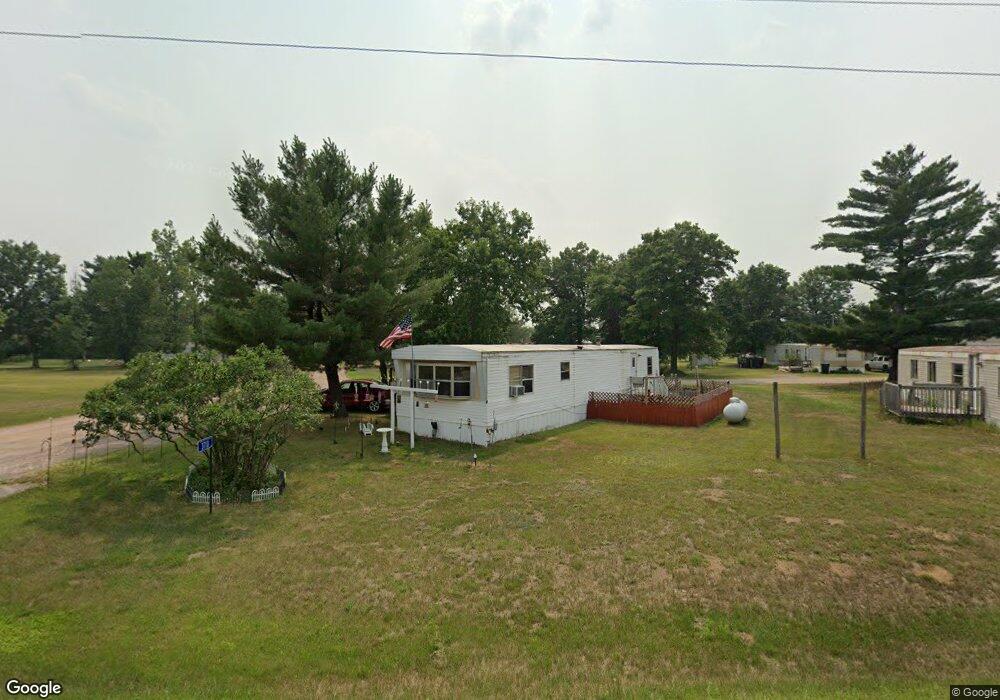
3710 State Highway 73 S Wisconsin Rapids, WI 54494
Estimated Value: $556,893
3
Beds
2
Baths
--
Sq Ft
6.83
Acres
About This Home
This home is located at 3710 State Highway 73 S, Wisconsin Rapids, WI 54494 and is currently estimated at $556,893. 3710 State Highway 73 S is a home located in Wood County with nearby schools including Woodside Elementary School, Wisconsin Rapids Area Middle School, and East Junior High School.
Ownership History
Date
Name
Owned For
Owner Type
Purchase Details
Closed on
Nov 14, 2019
Sold by
Mkmont Llc
Bought by
Rapids Housing Llc
Current Estimated Value
Home Financials for this Owner
Home Financials are based on the most recent Mortgage that was taken out on this home.
Original Mortgage
$240,000
Outstanding Balance
$211,138
Interest Rate
3.6%
Mortgage Type
New Conventional
Estimated Equity
$345,755
Purchase Details
Closed on
Nov 30, 2015
Sold by
Boardwalk Mhc Llc
Bought by
Mkmont Llc
Create a Home Valuation Report for This Property
The Home Valuation Report is an in-depth analysis detailing your home's value as well as a comparison with similar homes in the area
Home Values in the Area
Average Home Value in this Area
Purchase History
| Date | Buyer | Sale Price | Title Company |
|---|---|---|---|
| Rapids Housing Llc | $342,900 | -- | |
| Mkmont Llc | $199,000 | -- |
Source: Public Records
Mortgage History
| Date | Status | Borrower | Loan Amount |
|---|---|---|---|
| Open | Rapids Housing Llc | $240,000 |
Source: Public Records
Tax History Compared to Growth
Tax History
| Year | Tax Paid | Tax Assessment Tax Assessment Total Assessment is a certain percentage of the fair market value that is determined by local assessors to be the total taxable value of land and additions on the property. | Land | Improvement |
|---|---|---|---|---|
| 2024 | $2,875 | $180,400 | $33,200 | $147,200 |
| 2023 | $2,817 | $180,400 | $33,200 | $147,200 |
| 2022 | $2,817 | $180,400 | $33,200 | $147,200 |
| 2021 | $2,755 | $180,400 | $33,200 | $147,200 |
| 2020 | $809 | $44,300 | $24,800 | $19,500 |
| 2019 | $785 | $44,300 | $24,800 | $19,500 |
| 2018 | $763 | $44,300 | $24,800 | $19,500 |
| 2017 | $721 | $44,300 | $24,800 | $19,500 |
| 2016 | $759 | $44,300 | $24,800 | $19,500 |
| 2015 | $718 | $44,300 | $24,800 | $19,500 |
Source: Public Records
Map
Nearby Homes
- 4930 Wilderness Ln
- 9820 State Highway 13 S
- 3630 Ranger Rd
- 57.71 AC County Line Rd
- 10140 S Young St
- 7199 Mill Ave
- 1066 Church Ave
- 40 AC Akron Dr Acres
- 10520 Rangeline Rd
- 000 64th St S Unit 11840 64th Street So
- 9111 County Road z
- 6020 Timber Wolfe Ct
- 765 Ten Mile Ave
- 3410 Big Timber Dr
- Lot 96 Forest Trail
- 9005 Wagonwheel Dr
- Lot 54 Southshore Dr
- Lot 48 Cove Trail
- Lot 47 Cove Trail
- Lot 46 Cove Trail
- 3620 State Highway 73 S
- 3550 State Highway 73 S
- 3531 State Highway 73 S
- 3530 State Highway 73 S
- 12201 Bell Rd
- 11930 Deer Ridge Rd
- 12041 Bell Rd
- 12110 Deer Ridge Rd
- 11810 Deer Ridge Rd
- 12150 Deer Ridge Rd
- 12335 Bell Rd
- 3941 State Highway 73 S
- 12141 Bell Rd
- 12021 Deer Ridge Rd
- 11951 Bell Rd
- 12221 Bell Rd
- 12151 Deer Ridge Rd
- 12311 Bell Rd
- 12320 Deer Ridge Rd
- 12211 Deer Ridge Rd