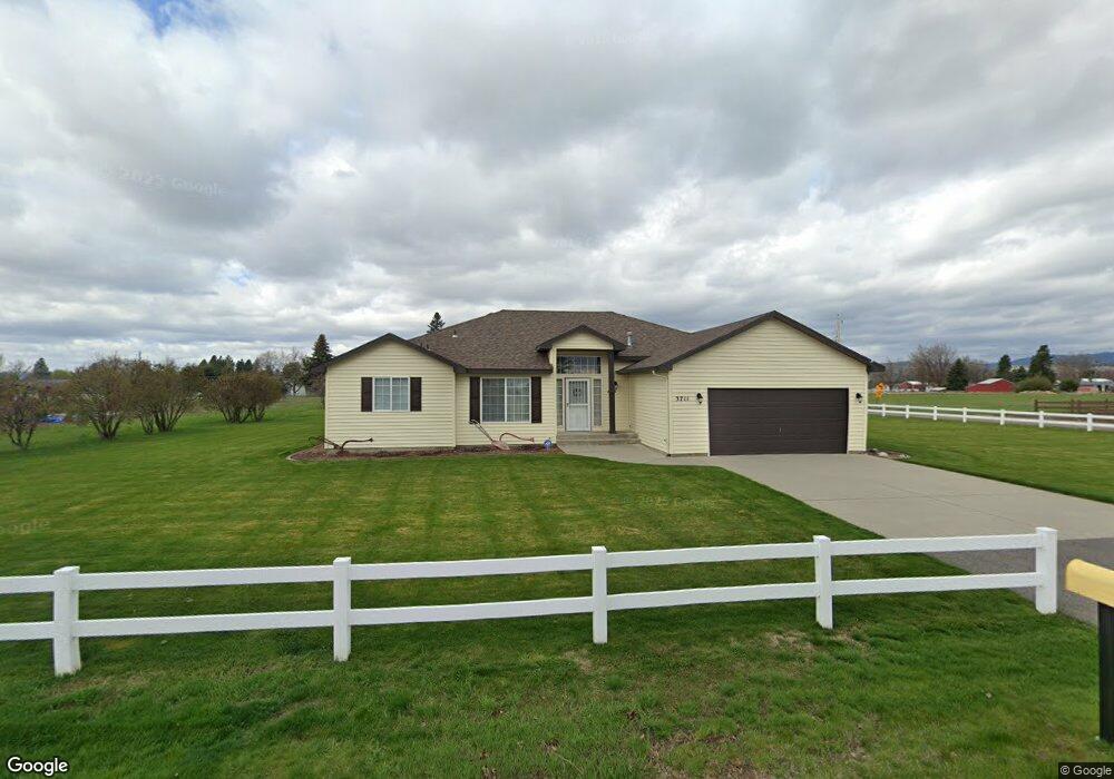
3711 N Simpson Rd Otis Orchards, WA 99027
Otis Orchards-East Farms NeighborhoodEstimated Value: $545,000 - $664,000
3
Beds
2
Baths
1,808
Sq Ft
$328/Sq Ft
Est. Value
About This Home
This home is located at 3711 N Simpson Rd, Otis Orchards, WA 99027 and is currently estimated at $592,685, approximately $327 per square foot. 3711 N Simpson Rd is a home located in Spokane County with nearby schools including Otis Orchards School, East Valley Middle School, and East Valley High School & Extension.
Ownership History
Date
Name
Owned For
Owner Type
Purchase Details
Closed on
Aug 4, 2025
Sold by
Bowman Jerry D and Bowman Barbara J
Bought by
Bowman Living Trust and Bowman
Current Estimated Value
Purchase Details
Closed on
Sep 25, 1996
Sold by
Craig C Condron Construction Inc
Bought by
Bowman Jerry D and Bowman Barbara J
Home Financials for this Owner
Home Financials are based on the most recent Mortgage that was taken out on this home.
Original Mortgage
$160,200
Interest Rate
7.87%
Create a Home Valuation Report for This Property
The Home Valuation Report is an in-depth analysis detailing your home's value as well as a comparison with similar homes in the area
Home Values in the Area
Average Home Value in this Area
Purchase History
| Date | Buyer | Sale Price | Title Company |
|---|---|---|---|
| Bowman Living Trust | $313 | None Listed On Document | |
| Bowman Jerry D | $178,000 | Transnation Title Ins Co |
Source: Public Records
Mortgage History
| Date | Status | Borrower | Loan Amount |
|---|---|---|---|
| Previous Owner | Bowman Jerry D | $160,200 |
Source: Public Records
Tax History Compared to Growth
Tax History
| Year | Tax Paid | Tax Assessment Tax Assessment Total Assessment is a certain percentage of the fair market value that is determined by local assessors to be the total taxable value of land and additions on the property. | Land | Improvement |
|---|---|---|---|---|
| 2025 | $4,858 | $528,800 | $149,600 | $379,200 |
| 2024 | $4,858 | $497,900 | $144,600 | $353,300 |
| 2023 | $4,789 | $497,900 | $144,600 | $353,300 |
| 2022 | $4,476 | $493,200 | $144,600 | $348,600 |
| 2021 | $4,362 | $347,600 | $101,400 | $246,200 |
| 2020 | $4,222 | $318,860 | $94,760 | $224,100 |
| 2019 | $3,712 | $284,940 | $84,840 | $200,100 |
| 2018 | $3,714 | $265,660 | $66,560 | $199,100 |
| 2017 | $3,542 | $254,560 | $66,560 | $188,000 |
| 2016 | $3,205 | $232,680 | $57,180 | $175,500 |
| 2015 | $3,208 | $224,680 | $57,180 | $167,500 |
| 2014 | -- | $224,880 | $57,180 | $167,700 |
| 2013 | -- | $0 | $0 | $0 |
Source: Public Records
Map
Nearby Homes
- 24005 E Garland Ave
- 24672 Hawkstone Loop
- 24872 E Hawkstone Loop
- 24443 E Pinnacle Ct Unit 24443
- 24672 E Hawkstone Loop
- 2669 N Talon Ln
- 2669 Talon Ln
- 24503 E Feather Loop
- 24822 E Coopers Hawk Ln
- 24846 E Coopers Hawk Ln
- Yukon Plan at Stonehill - Haven Collection
- Briarwood Plan at Stonehill - Cottage Collection
- Sedona Plan at Stonehill - Haven Collection
- 24662 E Hawkstone Loop
- Goldenwood Plan at Stonehill - Cottage Collection
- Willow Plan at Stonehill - Cottage Collection
- Hazelwood Plan at Stonehill - Cottage Collection
- Sherwood Plan at Stonehill - Cottage Collection
- Birch Plan at Stonehill - Haven Collection
- Colorado Plan at Stonehill - Haven Collection
- 3625 N Simpson Rd
- 3710 N Simpson Rd
- 3817 N Simpson Rd
- 3822 N Simpson Rd
- 3605 N Simpson Rd
- 3713 N Malvern Rd
- 3721 N Malvern Rd
- 3705 N Malvern Rd
- 3623 N Malvern Rd
- 3615 N Malvern Rd
- 3509 N Simpson Rd
- 3910 N Simpson Rd
- 3927 N Simpson Rd
- 3519 N Malvern Rd
- 24325 E River Rd
- 3505 N Simpson Rd
- 24317 E River Rd
- 24413 E River Rd
- 24305 E River Rd
- 24108 E Garland Ave