3712 W Brophy Rd Deer Park, WA 99006
Estimated Value: $316,000 - $554,000
4
Beds
2
Baths
1,800
Sq Ft
$240/Sq Ft
Est. Value
About This Home
This home is located at 3712 W Brophy Rd, Deer Park, WA 99006 and is currently estimated at $431,452, approximately $239 per square foot. 3712 W Brophy Rd is a home located in Spokane County with nearby schools including Deer Park Home Link Program, Arcadia Elementary School, and Deer Park Elementary School.
Ownership History
Date
Name
Owned For
Owner Type
Purchase Details
Closed on
Jul 26, 2005
Sold by
Price Curtis R
Bought by
Wilen Tamera Ann and Ann Marie Carlson Testamentary Trust
Current Estimated Value
Purchase Details
Closed on
Jan 26, 2005
Sold by
Martini Kenneth A and Martini Judith A
Bought by
Price Curtis R
Home Financials for this Owner
Home Financials are based on the most recent Mortgage that was taken out on this home.
Original Mortgage
$130,000
Interest Rate
5.79%
Mortgage Type
Purchase Money Mortgage
Create a Home Valuation Report for This Property
The Home Valuation Report is an in-depth analysis detailing your home's value as well as a comparison with similar homes in the area
Home Values in the Area
Average Home Value in this Area
Purchase History
| Date | Buyer | Sale Price | Title Company |
|---|---|---|---|
| Wilen Tamera Ann | $140,000 | Pacific Nw Title | |
| Price Curtis R | $123,000 | Spokane County Title Co |
Source: Public Records
Mortgage History
| Date | Status | Borrower | Loan Amount |
|---|---|---|---|
| Previous Owner | Price Curtis R | $130,000 |
Source: Public Records
Tax History Compared to Growth
Tax History
| Year | Tax Paid | Tax Assessment Tax Assessment Total Assessment is a certain percentage of the fair market value that is determined by local assessors to be the total taxable value of land and additions on the property. | Land | Improvement |
|---|---|---|---|---|
| 2025 | $2,792 | $321,850 | $91,250 | $230,600 |
| 2024 | $2,792 | $308,630 | $95,630 | $213,000 |
| 2023 | $2,779 | $308,630 | $95,630 | $213,000 |
| 2022 | $2,502 | $302,630 | $94,630 | $208,000 |
| 2021 | $2,239 | $196,630 | $29,630 | $167,000 |
| 2020 | $2,183 | $183,830 | $25,630 | $158,200 |
| 2019 | $1,989 | $170,080 | $20,380 | $149,700 |
| 2018 | $1,919 | $144,780 | $20,380 | $124,400 |
| 2017 | $1,743 | $133,380 | $20,380 | $113,000 |
| 2016 | $1,633 | $121,680 | $20,380 | $101,300 |
| 2015 | $1,644 | $119,380 | $20,380 | $99,000 |
| 2014 | -- | $121,780 | $20,380 | $101,400 |
| 2013 | -- | $0 | $0 | $0 |
Source: Public Records
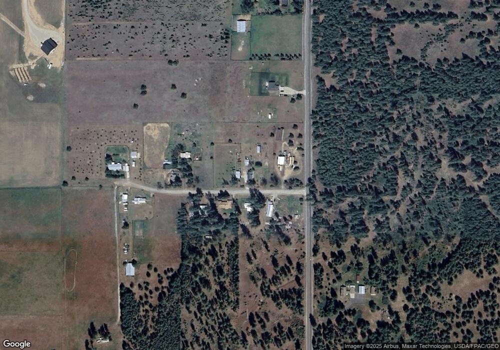
Map
Nearby Homes
- 309 E 11th St
- 14 W 11th St
- 0 W Enoch Rd
- 28XXX N Dalton Rd
- 000 Enoch Rd
- 1226 High Desert Dr
- 1216 High Desert Dr
- 710 N Arnim Ave
- 1320 E Chelan Ct
- 1321 E 12th St
- 1234 Augusta St
- 1230 Augusta St
- 1226 Augusta St
- 1402 E Sawgrass Ln
- 605 N Arnim Ave
- 109 E 6th St
- 427 E 5th St
- The Lookout Plan at Marshall Meadows - The Debut
- The Phoenix Plan at Marshall Meadows - The Debut
- The Panhandle Plan at Marshall Meadows - The Debut
- 3715 W Brophy Rd
- 3702 W Brophy Rd
- 3813 W Brophy Rd
- 3711 W Brophy Rd
- 3918 W Brophy Rd
- 34815 N Dalton Rd
- 3929 W Brophy Rd
- 3928 W Brophy Rd
- 34322 N Dalton Rd
- 35015 N Dalton Rd
- 3931 W Brophy Rd
- 34323 N Dalton Rd
- 3510 W Enoch Rd
- 3510 W Enoch Rd
- 35110 N Dalton Rd
- 34213 N Dalton Rd
- 440 E Lenhard Dr
- 441 E Lenhard Dr
- 3910 W Enoch Rd
- 430 Lenhard Dr