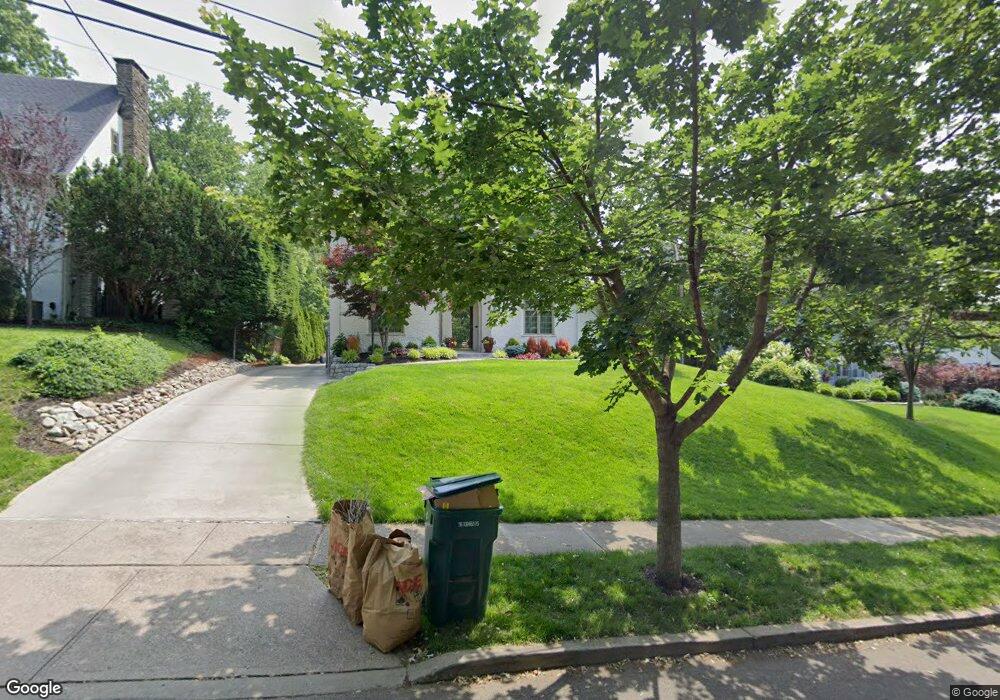
3714 Broadview Dr Cincinnati, OH 45208
Hyde Park NeighborhoodEstimated Value: $756,411 - $950,000
5
Beds
2
Baths
2,665
Sq Ft
$318/Sq Ft
Est. Value
About This Home
This home is located at 3714 Broadview Dr, Cincinnati, OH 45208 and is currently estimated at $846,353, approximately $317 per square foot. 3714 Broadview Dr is a home located in Hamilton County with nearby schools including Kilgour Elementary School, Clark Montessori High School, and Shroder High School.
Ownership History
Date
Name
Owned For
Owner Type
Purchase Details
Closed on
Aug 14, 2023
Sold by
Mulligan Michael D and Mulligan Katherine L
Bought by
Michael And Katherine Mulligan Joint Trust and Mulligan
Current Estimated Value
Purchase Details
Closed on
Dec 29, 2000
Sold by
Udris Andis D and Udris Cynthia R
Bought by
Mulligan Michael D and Mulligan Katherine L
Home Financials for this Owner
Home Financials are based on the most recent Mortgage that was taken out on this home.
Original Mortgage
$230,000
Interest Rate
7.58%
Purchase Details
Closed on
Jun 23, 1994
Sold by
Lackner Kenneth J and Lackner Loretta J
Bought by
Udris Andis D and Udris Cynthia R
Home Financials for this Owner
Home Financials are based on the most recent Mortgage that was taken out on this home.
Original Mortgage
$213,000
Interest Rate
8.66%
Create a Home Valuation Report for This Property
The Home Valuation Report is an in-depth analysis detailing your home's value as well as a comparison with similar homes in the area
Home Values in the Area
Average Home Value in this Area
Purchase History
| Date | Buyer | Sale Price | Title Company |
|---|---|---|---|
| Michael And Katherine Mulligan Joint Trust | $250 | None Listed On Document | |
| Mulligan Michael D | $350,000 | Classic Title Agency Inc | |
| Udris Andis D | -- | -- | |
| Lackner Kenneth J | -- | -- |
Source: Public Records
Mortgage History
| Date | Status | Borrower | Loan Amount |
|---|---|---|---|
| Previous Owner | Mulligan Michael D | $230,000 | |
| Previous Owner | Udris Andis D | $213,000 |
Source: Public Records
Tax History Compared to Growth
Tax History
| Year | Tax Paid | Tax Assessment Tax Assessment Total Assessment is a certain percentage of the fair market value that is determined by local assessors to be the total taxable value of land and additions on the property. | Land | Improvement |
|---|---|---|---|---|
| 2024 | $10,437 | $174,815 | $77,567 | $97,248 |
| 2023 | $10,673 | $174,815 | $77,567 | $97,248 |
| 2022 | $11,009 | $161,757 | $74,981 | $86,776 |
| 2021 | $10,596 | $161,757 | $74,981 | $86,776 |
| 2020 | $10,907 | $161,757 | $74,981 | $86,776 |
| 2019 | $10,279 | $139,444 | $64,638 | $74,806 |
| 2018 | $10,294 | $139,444 | $64,638 | $74,806 |
| 2017 | $9,780 | $139,444 | $64,638 | $74,806 |
| 2016 | $8,366 | $117,597 | $62,699 | $54,898 |
| 2015 | $7,542 | $117,597 | $62,699 | $54,898 |
| 2014 | $7,596 | $117,597 | $62,699 | $54,898 |
| 2013 | $7,967 | $121,233 | $64,638 | $56,595 |
Source: Public Records
Map
Nearby Homes
- 3684 Ashworth Dr
- 3713 Erie Ave
- 3646 Ashworth Dr
- 4112 Paxton Woods Dr
- 3655 Brotherton Rd
- 3643 Brotherton Rd
- 3636 Brotherton Rd
- 3668 Wilshire Ave
- 4177 Club View Dr
- 3744 Aylesboro Ave
- 3474 Forestoak Ct
- 3522 Brotherton Rd
- 3641 Brentwood Ave
- 3880 Marburg Ave
- 3630 Bellecrest Ave
- 2947 Iron Oak Ln
- 4418 Canyon Oak Ct
- 4422 Canyon Oak Ct
- 4479 Butterfield Place
- 4480 Butterfield Place
- 3718 Broadview Dr
- 3710 Broadview Dr
- 3722 Broadview Dr
- 3706 Broadview Dr
- 3922 Erie Ave
- 3726 Broadview Dr
- 3730 Broadview Dr
- 3709 Broadview Dr
- 3878 Erie Ave
- 3725 Broadview Dr
- 3717 Broadview Dr
- 3721 Broadview Dr
- 3705 Broadview Dr
- 3734 Broadview Dr
- 3715 Broadview Dr
- 3701 Broadview Dr
- 3738 Broadview Dr
- 3851 Country Club Place
- 3742 Broadview Dr
- 3870 Erie Ave