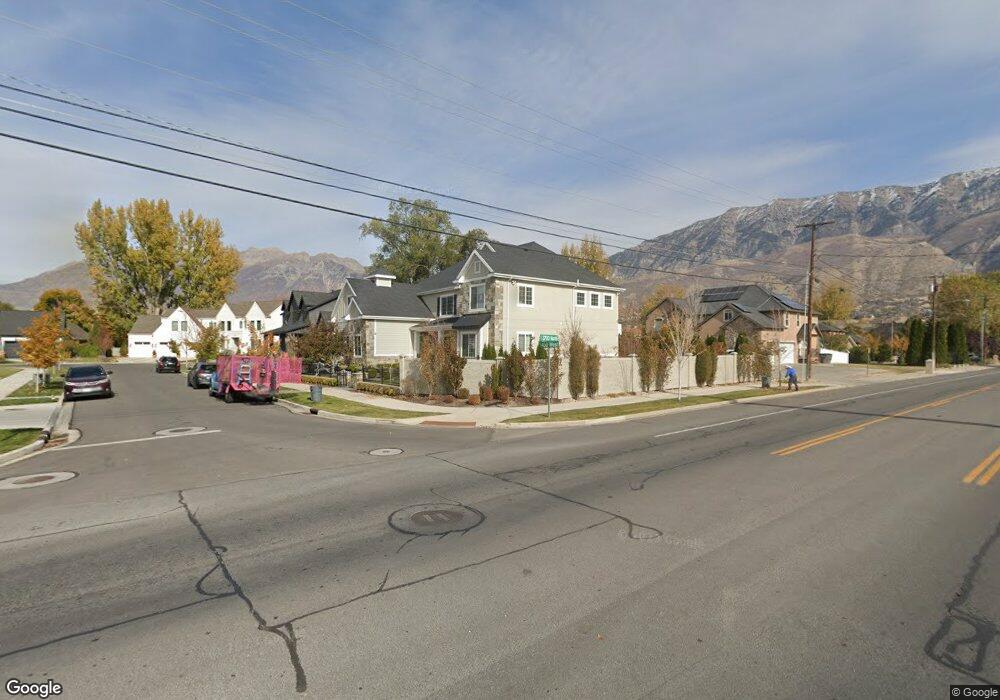
3714 N 450 W Provo, UT 84604
Riverside NeighborhoodEstimated Value: $1,278,000 - $1,519,000
6
Beds
5
Baths
5,689
Sq Ft
$248/Sq Ft
Est. Value
About This Home
This home is located at 3714 N 450 W, Provo, UT 84604 and is currently estimated at $1,408,192, approximately $247 per square foot. 3714 N 450 W is a home located in Utah County with nearby schools including Canyon Crest Elementary School, Centennial Middle School, and Timpview High School.
Ownership History
Date
Name
Owned For
Owner Type
Purchase Details
Closed on
May 14, 2024
Sold by
Hagen Michael
Bought by
Hawkins Joel and Hawkins Elizabeth
Current Estimated Value
Home Financials for this Owner
Home Financials are based on the most recent Mortgage that was taken out on this home.
Original Mortgage
$550,000
Outstanding Balance
$542,155
Interest Rate
6.79%
Mortgage Type
New Conventional
Estimated Equity
$866,037
Purchase Details
Closed on
Jun 4, 2018
Sold by
Andrews Chase
Bought by
Hagen Michael
Home Financials for this Owner
Home Financials are based on the most recent Mortgage that was taken out on this home.
Original Mortgage
$453,100
Interest Rate
4.4%
Mortgage Type
New Conventional
Purchase Details
Closed on
Nov 16, 2017
Sold by
Andrews Chase
Bought by
Andrews Chase and Andrews James Hoyt
Purchase Details
Closed on
Sep 6, 2017
Sold by
The Preserve At Riverwoods Llc
Bought by
Andrews Chase
Create a Home Valuation Report for This Property
The Home Valuation Report is an in-depth analysis detailing your home's value as well as a comparison with similar homes in the area
Home Values in the Area
Average Home Value in this Area
Purchase History
| Date | Buyer | Sale Price | Title Company |
|---|---|---|---|
| Hawkins Joel | -- | Utah First Title | |
| Hagen Michael | -- | Advanced Title | |
| Andrews Chase | -- | None Available | |
| Andrews Chase | -- | Access Title Co |
Source: Public Records
Mortgage History
| Date | Status | Borrower | Loan Amount |
|---|---|---|---|
| Open | Hawkins Joel | $550,000 | |
| Previous Owner | Hagen Michael | $453,100 |
Source: Public Records
Tax History Compared to Growth
Tax History
| Year | Tax Paid | Tax Assessment Tax Assessment Total Assessment is a certain percentage of the fair market value that is determined by local assessors to be the total taxable value of land and additions on the property. | Land | Improvement |
|---|---|---|---|---|
| 2025 | $6,545 | $689,645 | $367,400 | $886,500 |
| 2024 | $6,545 | $644,215 | $0 | $0 |
| 2023 | $6,521 | $632,775 | $0 | $0 |
| 2022 | $5,923 | $579,590 | $0 | $0 |
| 2021 | $4,951 | $844,900 | $286,900 | $558,000 |
| 2020 | $4,914 | $786,200 | $239,100 | $547,100 |
| 2019 | $4,601 | $765,500 | $239,100 | $526,400 |
| 2018 | $4,242 | $393,690 | $0 | $0 |
Source: Public Records
Map
Nearby Homes
- 404 W 3700 N
- 282 W 4020 N
- 3535 N 160 St W
- 455 W 4150 St N
- 3430 Brookside Dr
- 111 Woodside Dr
- 756 S 900 E
- 478 S 950 E
- 4246 N Stonecrossing
- 387 S 1000 E
- 3305 N Shadowbrook Cir
- 3240 Shadowbrook Dr
- 1171 S Carterville Rd
- 325 S 1000 E
- 847 E 400 S
- 350 S 900 E
- 299 E 4000 N
- 1237 S 1000 E
- 3057 N 100 W
- 1311 S 1100 E