3715 N 465 W Unit 7 Angola, IN 46703
Estimated Value: $1,014,000 - $1,131,000
6
Beds
6
Baths
4,006
Sq Ft
$267/Sq Ft
Est. Value
About This Home
This home is located at 3715 N 465 W Unit 7, Angola, IN 46703 and is currently estimated at $1,070,110, approximately $267 per square foot. 3715 N 465 W Unit 7 is a home located in Steuben County with nearby schools including Angola High School and Grace Baptist Academy.
Ownership History
Date
Name
Owned For
Owner Type
Purchase Details
Closed on
Jul 10, 2020
Sold by
Larrance Lain A and Larrance Dawn R
Bought by
Cronkhite Jeremy A and Cronkhite Rebekah M
Current Estimated Value
Home Financials for this Owner
Home Financials are based on the most recent Mortgage that was taken out on this home.
Original Mortgage
$569,415
Outstanding Balance
$503,973
Interest Rate
3%
Mortgage Type
New Conventional
Estimated Equity
$566,137
Purchase Details
Closed on
May 29, 2018
Sold by
Omd Holdings Llc
Bought by
Larrance Lain A and Larrance Dawn R
Home Financials for this Owner
Home Financials are based on the most recent Mortgage that was taken out on this home.
Original Mortgage
$398,434
Interest Rate
4.5%
Mortgage Type
Construction
Create a Home Valuation Report for This Property
The Home Valuation Report is an in-depth analysis detailing your home's value as well as a comparison with similar homes in the area
Home Values in the Area
Average Home Value in this Area
Purchase History
| Date | Buyer | Sale Price | Title Company |
|---|---|---|---|
| Cronkhite Jeremy A | $699,900 | Metropolitan Title | |
| Larrance Lain A | $125,000 | Fidelity National Title Comp |
Source: Public Records
Mortgage History
| Date | Status | Borrower | Loan Amount |
|---|---|---|---|
| Open | Cronkhite Jeremy A | $569,415 | |
| Previous Owner | Larrance Lain A | $398,434 |
Source: Public Records
Tax History Compared to Growth
Tax History
| Year | Tax Paid | Tax Assessment Tax Assessment Total Assessment is a certain percentage of the fair market value that is determined by local assessors to be the total taxable value of land and additions on the property. | Land | Improvement |
|---|---|---|---|---|
| 2024 | $4,028 | $760,000 | $118,800 | $641,200 |
| 2023 | $3,453 | $715,700 | $110,000 | $605,700 |
| 2022 | $2,879 | $567,600 | $150,000 | $417,600 |
| 2021 | $2,645 | $504,300 | $125,000 | $379,300 |
| 2020 | $1,996 | $404,000 | $125,000 | $279,000 |
| 2019 | $1,115 | $237,400 | $125,000 | $112,400 |
| 2018 | $2,769 | $275,000 | $275,000 | $0 |
| 2017 | $29 | $2,800 | $2,800 | $0 |
| 2016 | $29 | $2,800 | $2,800 | $0 |
| 2014 | $31 | $2,800 | $2,800 | $0 |
| 2013 | $31 | $2,800 | $2,800 | $0 |
Source: Public Records
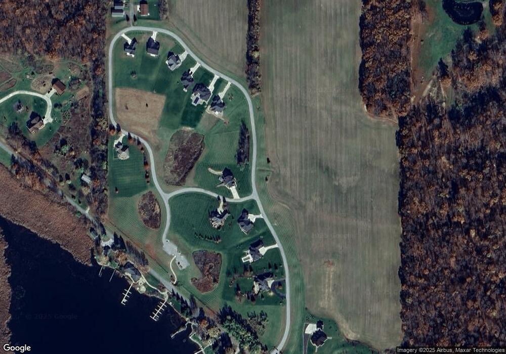
Map
Nearby Homes
- 15 Lane 205 Jimmerson Lake
- 3020 N 415 W
- 3095 N 405 W
- 25 & 35 Lane 205 Jimmerson Lake
- 3020 N 405 W
- 735 Lane 274 Crooked Lake
- 20 Lane 340a Jimmerson Lake
- 5110 N 450 W
- 60 Lane 101d Jimmerson Lake
- 2255 N 400 W
- 0 Ln 355 Jimmerson Lake
- 3795 W Sycamore Beach Rd
- 3475 W Nevada Mills Rd
- 120 Ln 520 A Lake James Unit 17
- 15 Ln 420 Jimmerson Lake
- 3195 W Nevada Mills Rd
- 40 Ln 520 A Lake James Unit 6
- 35 Lane 520b Lake James Unit 35 LN 520B Lake Jame
- 40 Lane 520 Lake James Unit B
- 80 Lane 520 Lake James Unit 20
- 3715 N 465 W
- 3735 N 465 W
- 3735 N 465 W Unit 8
- 3735 N 465 W Unit 7
- 4675 W 370 N Unit 5
- 3695 N 465 W
- 4695 W 370 N Unit 6
- 3755 N 465 W Unit 9
- 3775 N 465 W Unit 10
- 3675 N 465 W
- 3675 N 465 W Unit 3
- 3795 N 465 W
- 3795 N 465 W Unit 11
- 3815 N 465 W
- 3815 N 465 W Unit 12
- 3655 N 465 W
- 3895 N 465 W
- 3895 N 465 W Unit 16
- 3835 N 465 W
- 3835 N 465 W Unit 13