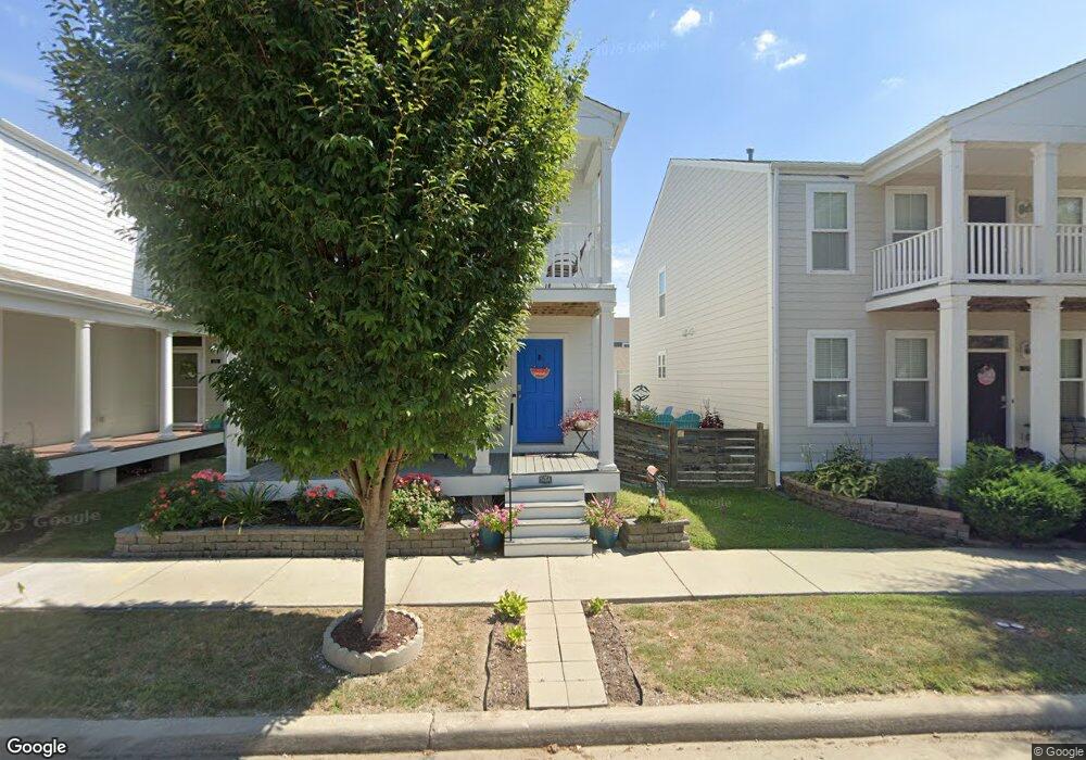
3717 Broad St Saint Charles, MO 63301
New Town NeighborhoodEstimated Value: $361,341 - $398,000
3
Beds
3
Baths
1,702
Sq Ft
$223/Sq Ft
Est. Value
About This Home
This home is located at 3717 Broad St, Saint Charles, MO 63301 and is currently estimated at $379,335, approximately $222 per square foot. 3717 Broad St is a home with nearby schools including Discovery Elementary School, Orchard Farm Elementary School, and Orchard Farm Middle School.
Ownership History
Date
Name
Owned For
Owner Type
Purchase Details
Closed on
Apr 20, 2017
Sold by
Mcbride Town Development Llc
Bought by
Davis John F and Davis Julie L
Current Estimated Value
Home Financials for this Owner
Home Financials are based on the most recent Mortgage that was taken out on this home.
Original Mortgage
$229,744
Outstanding Balance
$188,907
Interest Rate
3.87%
Mortgage Type
FHA
Estimated Equity
$190,428
Create a Home Valuation Report for This Property
The Home Valuation Report is an in-depth analysis detailing your home's value as well as a comparison with similar homes in the area
Home Values in the Area
Average Home Value in this Area
Purchase History
| Date | Buyer | Sale Price | Title Company |
|---|---|---|---|
| Davis John F | $233,983 | Title Partners Agency Llc |
Source: Public Records
Mortgage History
| Date | Status | Borrower | Loan Amount |
|---|---|---|---|
| Open | Davis John F | $229,744 |
Source: Public Records
Tax History
| Year | Tax Paid | Tax Assessment Tax Assessment Total Assessment is a certain percentage of the fair market value that is determined by local assessors to be the total taxable value of land and additions on the property. | Land | Improvement |
|---|---|---|---|---|
| 2025 | $4,605 | $63,428 | -- | -- |
| 2023 | $4,607 | $58,921 | -- | -- |
| 2022 | $3,788 | $44,976 | $0 | $0 |
| 2021 | $3,792 | $44,976 | $0 | $0 |
| 2020 | $3,992 | $47,422 | $0 | $0 |
| 2019 | $3,677 | $47,422 | $0 | $0 |
| 2018 | $3,619 | $44,457 | $0 | $0 |
| 2017 | $2,726 | $6,840 | $0 | $0 |
| 2016 | $1,004 | $5,319 | $0 | $0 |
| 2015 | $1,007 | $5,319 | $0 | $0 |
| 2014 | $1,013 | $5,108 | $0 | $0 |
Source: Public Records
Map
Nearby Homes
- 3257 Camp St
- 3616 Starkville St
- 3645 Starkville St
- 28 Freehold Rock Place
- 177 Arpent St
- 196 Tiber Way
- 3627 Arpent St
- 3136 Pirogue Way
- 121 Tiber Way
- 1072 Dyess Way
- 3305 Canal St
- 1001 Kilderkin Way
- 6142 Suntan Dr
- 210 Marais Temps Clair Dr
- 3009 Harpool St
- 4208 Marais Temps Clair Dr
- 3308 Domain St
- 238 Marais Temps Clair Dr
- 0 Magnolia (New Town) Unit MAR25029306
- 4212 Marais Temps Clair Dr
- 3721 Broad St
- 3713 Broad St
- 3709 Broad St
- 3266 Camp St
- 3270 Camp St
- 3262 Camp St
- 3262 Camp St Unit 8236
- 3720 Broad St
- 3705 Broad St
- 3258 Camp St Unit 8237
- 3508 Starkville St
- 3708 Broad St
- 3716 Broad St
- 3712 Broad St
- 3516 Starkville St
- 3504 Starkville St
- 3701 Broad St
- 3246 Camp St
- 3704 Broad St
- 3500 Starkville St
Your Personal Tour Guide
Ask me questions while you tour the home.