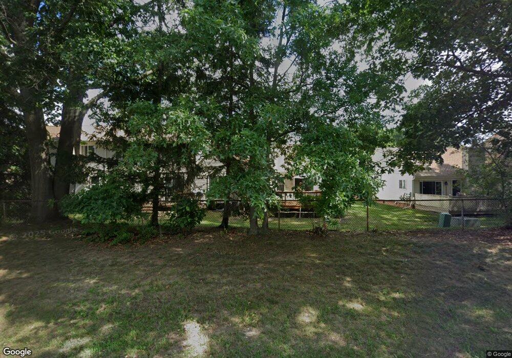
37198 Amhurst Dr Unit Bldg-Unit Westland, MI 48185
Estimated Value: $249,204 - $293,000
2
Beds
2
Baths
1,234
Sq Ft
$215/Sq Ft
Est. Value
About This Home
This home is located at 37198 Amhurst Dr Unit Bldg-Unit, Westland, MI 48185 and is currently estimated at $265,801, approximately $215 per square foot. 37198 Amhurst Dr Unit Bldg-Unit is a home located in Wayne County with nearby schools including P.D. Graham Elementary School, Marshall Upper Elementary School, and Adlai Stevenson Middle School.
Ownership History
Date
Name
Owned For
Owner Type
Purchase Details
Closed on
May 31, 2020
Sold by
Reddy Michelle R and Reddy Michelle Lee
Bought by
Reddy Del Louis and Reddy Michael J
Current Estimated Value
Purchase Details
Closed on
Jan 29, 2018
Sold by
Gross Kathleen
Bought by
Reddy Michelle R
Purchase Details
Closed on
Jan 7, 2018
Sold by
Burry Suzanne
Bought by
Gross Kathleen
Purchase Details
Closed on
Aug 22, 2013
Sold by
Gross Kathleen and Gross Richard
Bought by
Gross Kathleen
Purchase Details
Closed on
Sep 14, 1998
Sold by
Limite Judith Maplehurst
Bought by
Gross Kathleen
Create a Home Valuation Report for This Property
The Home Valuation Report is an in-depth analysis detailing your home's value as well as a comparison with similar homes in the area
Home Values in the Area
Average Home Value in this Area
Purchase History
| Date | Buyer | Sale Price | Title Company |
|---|---|---|---|
| Reddy Del Louis | -- | None Available | |
| Reddy Michelle R | $152,000 | Reputation First Title Agenc | |
| Gross Kathleen | -- | Reputation First Title Agenc | |
| Gross Kathleen | -- | None Available | |
| Gross Kathleen | $151,543 | -- |
Source: Public Records
Tax History Compared to Growth
Tax History
| Year | Tax Paid | Tax Assessment Tax Assessment Total Assessment is a certain percentage of the fair market value that is determined by local assessors to be the total taxable value of land and additions on the property. | Land | Improvement |
|---|---|---|---|---|
| 2025 | $3,529 | $116,600 | $0 | $0 |
| 2024 | $3,529 | $105,600 | $0 | $0 |
| 2023 | $3,370 | $102,900 | $0 | $0 |
| 2022 | $3,820 | $82,300 | $0 | $0 |
| 2021 | $3,724 | $79,000 | $0 | $0 |
| 2020 | $3,683 | $75,900 | $0 | $0 |
| 2019 | $3,551 | $72,600 | $0 | $0 |
| 2018 | $1,615 | $68,800 | $0 | $0 |
| 2017 | $660 | $62,700 | $0 | $0 |
| 2016 | $2,011 | $60,000 | $0 | $0 |
| 2015 | $3,999 | $52,530 | $0 | $0 |
| 2013 | $3,874 | $40,550 | $0 | $0 |
| 2012 | $1,962 | $42,830 | $0 | $0 |
Source: Public Records
Map
Nearby Homes
- 37186 Amhurst Dr Unit 5
- 6541 Pembrook Dr
- 6145 N Dowling St
- 6026 Wilmer St
- 6013 N Newburgh Rd
- 5889 N Globe St
- 0 Dowling Ave
- 5834 Morley St
- 5692 N Globe St
- 35863 Hunter Ave Unit 34
- 35754 Castlewood Ct
- 38201 Carolon Blvd Unit 17B
- 38066 Sherwood St
- 38247 Carolon Blvd Unit 12C
- 38030 Greenwood St
- 2260 N Hix Rd Unit 1C
- 35737 Hunter Ave
- 38343 Carolon Blvd
- 35833 Ford Rd
- 6546 Quail Run Cir
- 37198 Amhurst Dr
- 37282 Amhurst Dr
- 37294 Amhurst Dr
- 37270 Amhurst Dr
- 0 Amhurst Dr
- 37269 Amhurst Dr
- 37281 Amhurst Dr Unit 26
- 37234 Amhurst Dr
- 37245 Amhurst Dr
- 37209 Amhurst Dr
- 37233 Amhurst Dr
- 37305 Amhurst Dr Unit 24
- 37222 Amhurst Dr
- 37221 Amhurst Dr
- 37258 Amhurst Dr Unit 10
- 37258 Amhurst Dr
- 37138 Amhurst Dr
- 37354 Amhurst Dr
- 37210 Amhurst Dr Unit 7
- 37257 Amhurst Dr