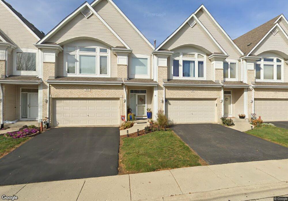
372 Aaron Ln Bolingbrook, IL 60440
East Bolingbrook NeighborhoodEstimated Value: $330,000 - $350,000
3
Beds
3
Baths
1,868
Sq Ft
$180/Sq Ft
Est. Value
About This Home
This home is located at 372 Aaron Ln, Bolingbrook, IL 60440 and is currently estimated at $337,148, approximately $180 per square foot. 372 Aaron Ln is a home located in Will County with nearby schools including Jonas E Salk Elementary School, Hubert H Humphrey Middle School, and Brooks Middle School.
Ownership History
Date
Name
Owned For
Owner Type
Purchase Details
Closed on
Aug 28, 2000
Sold by
Midwest Bank & Trust Company
Bought by
Vinci George L and Nickolau Elayne
Current Estimated Value
Home Financials for this Owner
Home Financials are based on the most recent Mortgage that was taken out on this home.
Original Mortgage
$168,750
Outstanding Balance
$61,721
Interest Rate
8.15%
Estimated Equity
$275,427
Create a Home Valuation Report for This Property
The Home Valuation Report is an in-depth analysis detailing your home's value as well as a comparison with similar homes in the area
Home Values in the Area
Average Home Value in this Area
Purchase History
| Date | Buyer | Sale Price | Title Company |
|---|---|---|---|
| Vinci George L | $174,000 | Greater Illinois Title Compa |
Source: Public Records
Mortgage History
| Date | Status | Borrower | Loan Amount |
|---|---|---|---|
| Open | Vinci George L | $168,750 |
Source: Public Records
Tax History Compared to Growth
Tax History
| Year | Tax Paid | Tax Assessment Tax Assessment Total Assessment is a certain percentage of the fair market value that is determined by local assessors to be the total taxable value of land and additions on the property. | Land | Improvement |
|---|---|---|---|---|
| 2024 | $8,028 | $104,921 | $9,615 | $95,306 |
| 2023 | $8,028 | $94,404 | $8,651 | $85,753 |
| 2022 | $7,411 | $85,110 | $7,799 | $77,311 |
| 2021 | $6,703 | $79,579 | $7,292 | $72,287 |
| 2020 | $7,178 | $76,962 | $7,052 | $69,910 |
| 2019 | $6,943 | $73,297 | $6,716 | $66,581 |
| 2018 | $6,663 | $70,154 | $6,428 | $63,726 |
| 2017 | $6,341 | $66,497 | $6,093 | $60,404 |
| 2016 | $6,153 | $63,300 | $5,800 | $57,500 |
| 2015 | $5,471 | $60,800 | $5,600 | $55,200 |
| 2014 | $5,471 | $60,800 | $5,600 | $55,200 |
| 2013 | $5,471 | $56,800 | $5,200 | $51,600 |
Source: Public Records
Map
Nearby Homes
- 231 Charlotte Ln
- 601 Derbyshire Ln
- 451 Alcester Ct
- 2 Vermont Cir
- 557 Monroe Rd
- 419 Charlestown Dr
- 427 Charlestown Dr
- 424 Van Gogh Cir Unit 1
- 209 Monroe Rd Unit 66
- 208 Porter Ln
- 460 Michelangelo Dr
- 338 Stafford Way
- Kenmore Plan at Bluebell Ridge
- Lockwood Plan at Bluebell Ridge
- 488 Ridge Ln
- 490 Ridge Ln
- 492 Ridge Ln
- 462 Ridge Ln
- 535 Jordan Way
- 458 Ridge Ln