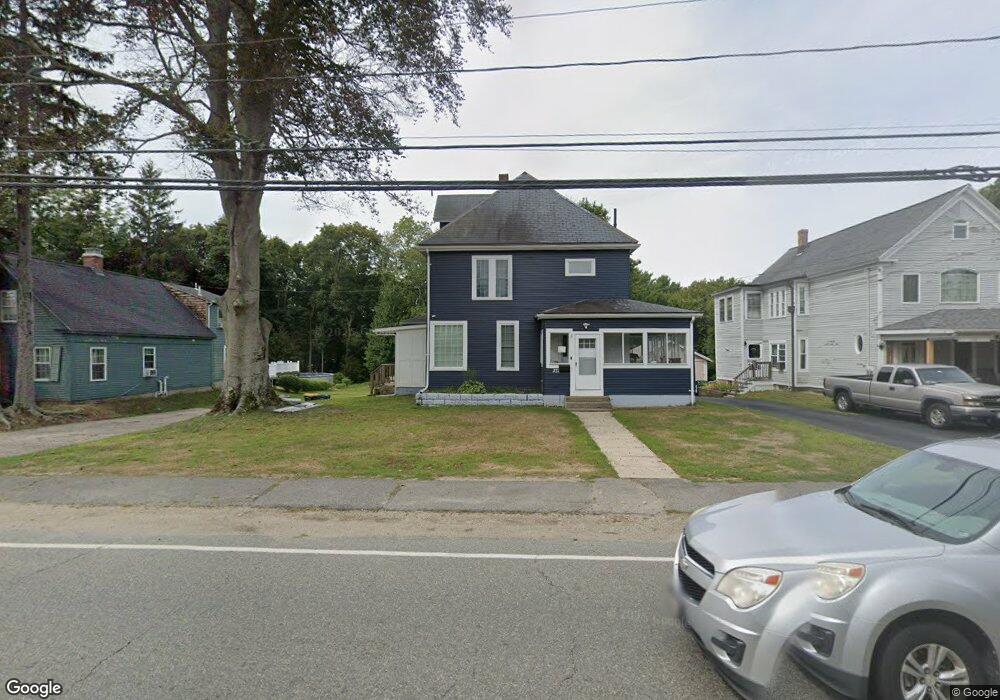
372 Adams St Abington, MA 02351
Estimated Value: $657,000 - $770,352
4
Beds
2
Baths
2,577
Sq Ft
$279/Sq Ft
Est. Value
About This Home
This home is located at 372 Adams St, Abington, MA 02351 and is currently estimated at $718,588, approximately $278 per square foot. 372 Adams St is a home located in Plymouth County with nearby schools including Beaver Brook Elementary School, Abington Middle School, and Woodsdale School.
Ownership History
Date
Name
Owned For
Owner Type
Purchase Details
Closed on
May 11, 2021
Sold by
Deutsche Bk Natl Tco Tr
Bought by
Hong-Nguyen Nghi T
Current Estimated Value
Home Financials for this Owner
Home Financials are based on the most recent Mortgage that was taken out on this home.
Original Mortgage
$309,600
Outstanding Balance
$280,575
Interest Rate
3.1%
Mortgage Type
Purchase Money Mortgage
Estimated Equity
$438,013
Purchase Details
Closed on
Sep 30, 2019
Sold by
Doherty John K
Bought by
Deutsche Bk Natl T Co Tr
Create a Home Valuation Report for This Property
The Home Valuation Report is an in-depth analysis detailing your home's value as well as a comparison with similar homes in the area
Home Values in the Area
Average Home Value in this Area
Purchase History
| Date | Buyer | Sale Price | Title Company |
|---|---|---|---|
| Hong-Nguyen Nghi T | $387,000 | None Available | |
| Deutsche Bk Natl T Co Tr | $375,000 | -- |
Source: Public Records
Mortgage History
| Date | Status | Borrower | Loan Amount |
|---|---|---|---|
| Open | Hong-Nguyen Nghi T | $309,600 |
Source: Public Records
Tax History Compared to Growth
Tax History
| Year | Tax Paid | Tax Assessment Tax Assessment Total Assessment is a certain percentage of the fair market value that is determined by local assessors to be the total taxable value of land and additions on the property. | Land | Improvement |
|---|---|---|---|---|
| 2025 | $9,796 | $750,100 | $255,100 | $495,000 |
| 2024 | $8,761 | $654,800 | $233,400 | $421,400 |
| 2023 | $8,225 | $578,800 | $205,000 | $373,800 |
| 2022 | $7,861 | $516,500 | $181,400 | $335,100 |
| 2021 | $7,185 | $436,000 | $166,000 | $270,000 |
| 2020 | $7,215 | $424,400 | $161,400 | $263,000 |
| 2019 | $7,109 | $408,800 | $154,500 | $254,300 |
| 2018 | $6,768 | $379,800 | $154,500 | $225,300 |
| 2017 | $6,808 | $371,000 | $154,500 | $216,500 |
| 2016 | $6,353 | $354,300 | $147,900 | $206,400 |
| 2015 | $6,089 | $358,200 | $147,900 | $210,300 |
Source: Public Records
Map
Nearby Homes
- 29 West St
- 57 Battery St
- 1077 Bedford St
- 1085 Bedford St
- 120 Glen St
- 1353 Washington St
- 20 Cleverly St Unit B2
- 0 Bedford St
- 1210 Washington St
- 676 Bedford St
- 28 Sylvan Ct
- 46 Wardson Cir
- 28 Nevens Cir
- 27 Fir Rd
- 20 Birch St
- 40 Fir Rd Unit 386
- 337 Randolph St
- 5 Chamberlain St
- 11 Chestnut Cir
- 133 Andrew Ford Way
- 376 Adams St
- 362 Adams St
- 382 Adams St
- 369 Adams St
- 396 Adams St
- 353 Adams St
- 352 Adams St
- 391 Adams St
- 400 Adams St
- 347 Adams St
- 401 Adams St Unit 1
- 26 Jefferson St
- 406 Adams St
- 23 Jefferson St
- 387 Adams St Unit 2
- 387 Adams St Unit 11
- 387 Adams St Unit 4
- 387 Adams St Unit 12
- 387 Adams St
- 411 Adams St Unit 4