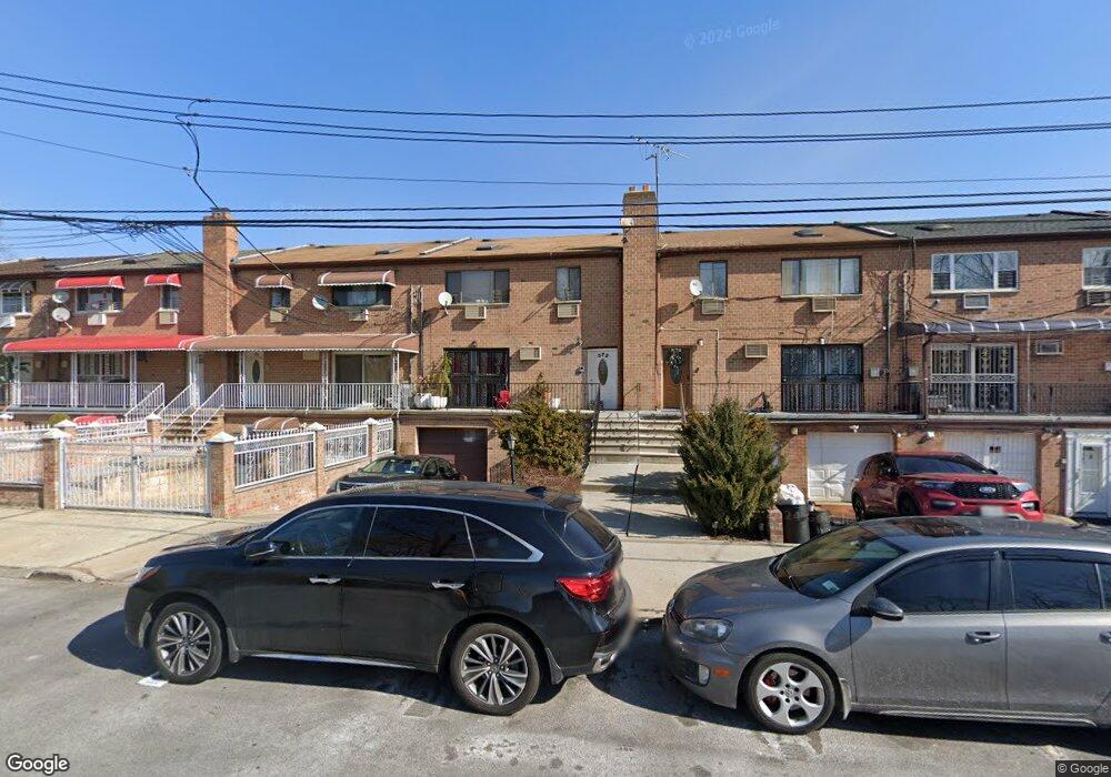
372 Balcom Ave Bronx, NY 10465
Throgs Neck-Edgewater Park NeighborhoodEstimated Value: $690,000 - $981,000
Studio
--
Bath
2,535
Sq Ft
$335/Sq Ft
Est. Value
About This Home
This home is located at 372 Balcom Ave, Bronx, NY 10465 and is currently estimated at $848,860, approximately $334 per square foot. 372 Balcom Ave is a home located in Bronx County with nearby schools including P.S. 72 - Dr. William Dorney, Herbert H Lehman High School, and St. Frances de Chantal School.
Ownership History
Date
Name
Owned For
Owner Type
Purchase Details
Closed on
Dec 13, 2022
Sold by
Schouten Daphne and Schouten Frederick
Bought by
372 Balcom Ave Llc
Current Estimated Value
Home Financials for this Owner
Home Financials are based on the most recent Mortgage that was taken out on this home.
Original Mortgage
$645,000
Outstanding Balance
$625,645
Interest Rate
6.95%
Mortgage Type
Purchase Money Mortgage
Estimated Equity
$223,215
Create a Home Valuation Report for This Property
The Home Valuation Report is an in-depth analysis detailing your home's value as well as a comparison with similar homes in the area
Home Values in the Area
Average Home Value in this Area
Purchase History
| Date | Buyer | Sale Price | Title Company |
|---|---|---|---|
| 372 Balcom Ave Llc | $550,000 | -- |
Source: Public Records
Mortgage History
| Date | Status | Borrower | Loan Amount |
|---|---|---|---|
| Open | 372 Balcom Ave Llc | $645,000 |
Source: Public Records
Tax History
| Year | Tax Paid | Tax Assessment Tax Assessment Total Assessment is a certain percentage of the fair market value that is determined by local assessors to be the total taxable value of land and additions on the property. | Land | Improvement |
|---|---|---|---|---|
| 2025 | $8,555 | $43,027 | $9,253 | $33,774 |
| 2024 | $8,555 | $42,595 | $8,298 | $34,297 |
| 2023 | $8,182 | $40,286 | $8,259 | $32,027 |
| 2022 | $7,300 | $44,280 | $10,800 | $33,480 |
| 2021 | $7,243 | $40,800 | $10,800 | $30,000 |
| 2020 | $7,294 | $44,100 | $10,800 | $33,300 |
| 2019 | $7,133 | $39,540 | $10,800 | $28,740 |
| 2018 | $6,546 | $33,572 | $8,122 | $25,450 |
| 2017 | $6,157 | $31,672 | $10,384 | $21,288 |
| 2016 | $5,663 | $29,880 | $10,800 | $19,080 |
| 2015 | $3,540 | $30,600 | $12,000 | $18,600 |
| 2014 | $3,540 | $29,580 | $12,000 | $17,580 |
Source: Public Records
Map
Nearby Homes
- 320 Huntington Ave
- 310 Huntington Ave
- 346 Brinsmade Ave
- 2780 Sampson Ave
- 2738 Miles Ave
- 280 Balcom Ave
- 269 Balcom Ave
- 281 Graff Ave
- 276 Brinsmade Ave
- 351 Quincy Ave
- 271 Buttrick Ave Unit D1
- 242 Graff Ave
- 252 Brinsmade Ave
- 239 Brinsmade Ave
- 258 Davis Ave
- 251 Buttrick Ave
- 260 Swinton Ave
- 2665 Harding Ave
- 249 Quincy Ave
- 2610 Miles Ave
- 376 Balcom Ave
- 368 Balcom Ave
- 380 Balcom Ave
- 364 Balcom Ave Unit 2
- 364 Balcom Ave
- 386 Balcom Ave
- 360 Balcom Ave Unit 2
- 360 Balcom Ave
- 379 Huntington Ave
- 390 Balcom Ave Unit 2
- 390 Balcom Ave Unit 1 Fl
- 390 Balcom Ave
- 375 Huntington Ave
- 379 379 Huntington Ave
- 383 Huntington Ave Unit 2
- 383 Huntington Ave
- 383 Huntington Ave Unit 1A
- 371 Huntington Ave
- 387 Huntington Ave
- 365 Huntington Ave
Your Personal Tour Guide
Ask me questions while you tour the home.