Estimated Value: $647,000 - $1,194,293
Studio
1
Bath
4,367
Sq Ft
$198/Sq Ft
Est. Value
About This Home
This home is located at 372 Bond Rd, Cairo, GA 39827 and is currently estimated at $863,431, approximately $197 per square foot. 372 Bond Rd is a home.
Ownership History
Date
Name
Owned For
Owner Type
Purchase Details
Closed on
Aug 7, 2017
Bought by
Gleaton Calvin C and Gleaton Ann Dews
Current Estimated Value
Purchase Details
Closed on
May 19, 2006
Bought by
Abiaka Group Llc
Purchase Details
Closed on
Jun 2, 2003
Sold by
Mclean Ronald C
Bought by
Langston Pamela E
Create a Home Valuation Report for This Property
The Home Valuation Report is an in-depth analysis detailing your home's value as well as a comparison with similar homes in the area
Purchase History
| Date | Buyer | Sale Price | Title Company |
|---|---|---|---|
| Gleaton Calvin C | $298,508 | -- | |
| Abiaka Group Llc | $15,700 | -- | |
| Langston Pamela E | $184,900 | -- |
Source: Public Records
Tax History
| Year | Tax Paid | Tax Assessment Tax Assessment Total Assessment is a certain percentage of the fair market value that is determined by local assessors to be the total taxable value of land and additions on the property. | Land | Improvement |
|---|---|---|---|---|
| 2025 | $8,695 | $483,374 | $85,140 | $398,234 |
| 2024 | $8,695 | $382,025 | $79,202 | $302,823 |
| 2023 | $9,553 | $342,350 | $49,152 | $293,198 |
| 2022 | $9,537 | $342,350 | $49,152 | $293,198 |
| 2021 | $9,554 | $342,350 | $49,152 | $293,198 |
| 2020 | $9,572 | $342,350 | $49,152 | $293,198 |
| 2019 | $534 | $49,152 | $49,152 | $0 |
| 2018 | $1,123 | $38,606 | $38,606 | $0 |
| 2017 | $1,069 | $38,606 | $38,606 | $0 |
| 2016 | $1,075 | $38,606 | $38,606 | $0 |
| 2015 | $1,062 | $38,606 | $38,606 | $0 |
| 2014 | $1,064 | $38,606 | $38,606 | $0 |
| 2013 | -- | $35,096 | $35,096 | $0 |
Source: Public Records
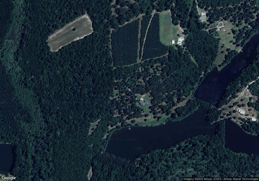
Map
Nearby Homes
- 388 Bond Rd
- 352 Bond Rd
- 426 Bond Rd
- 474 Bond Rd
- 0 Bond Rd Unit ACREAGE 281563
- 0 Bond Rd Unit 111202
- 0 Bond Rd Unit 110840
- 0 Bond Rd Unit xx 271029
- 0 Bond Rd
- XXX Bond Rd Unit xx
- 0000 Bond Rd
- XXX Bond Rd
- 1920 Ga Highway 112 N
- 53.32 Acres Bond Rd
- 267 Bond Rd
- 1900 Ga Highway 112 N
- 295 Bond Rd
- 546 Bond Rd
- 469 Bond Rd
- 1924 Ga Highway 112 N
Your Personal Tour Guide
Ask me questions while you tour the home.