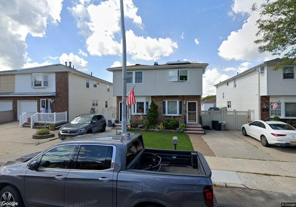
372 Brookfield Ave Staten Island, NY 10308
Great Kills NeighborhoodEstimated Value: $615,593 - $721,000
--
Bed
4
Baths
1,232
Sq Ft
$550/Sq Ft
Est. Value
About This Home
This home is located at 372 Brookfield Ave, Staten Island, NY 10308 and is currently estimated at $677,898, approximately $550 per square foot. 372 Brookfield Ave is a home located in Richmond County with nearby schools including P.S. 32 The Gifford School, I.S. 075 Frank D. Paulo, and Susan E Wagner High School.
Ownership History
Date
Name
Owned For
Owner Type
Purchase Details
Closed on
Oct 25, 2000
Sold by
Hardiman Kenneth B and Hardiman Tania
Bought by
Proto Steven and Proto Lisa
Current Estimated Value
Home Financials for this Owner
Home Financials are based on the most recent Mortgage that was taken out on this home.
Original Mortgage
$210,000
Outstanding Balance
$96,614
Interest Rate
11.45%
Estimated Equity
$581,284
Create a Home Valuation Report for This Property
The Home Valuation Report is an in-depth analysis detailing your home's value as well as a comparison with similar homes in the area
Home Values in the Area
Average Home Value in this Area
Purchase History
| Date | Buyer | Sale Price | Title Company |
|---|---|---|---|
| Proto Steven | $234,000 | Fidelity National Title Ins |
Source: Public Records
Mortgage History
| Date | Status | Borrower | Loan Amount |
|---|---|---|---|
| Open | Proto Steven | $210,000 |
Source: Public Records
Tax History Compared to Growth
Tax History
| Year | Tax Paid | Tax Assessment Tax Assessment Total Assessment is a certain percentage of the fair market value that is determined by local assessors to be the total taxable value of land and additions on the property. | Land | Improvement |
|---|---|---|---|---|
| 2025 | $6,132 | $34,440 | $6,811 | $27,629 |
| 2024 | $6,132 | $36,540 | $6,266 | $30,274 |
| 2023 | $5,849 | $28,800 | $5,651 | $23,149 |
| 2022 | $5,749 | $32,400 | $7,500 | $24,900 |
| 2021 | $5,814 | $32,760 | $7,500 | $25,260 |
| 2020 | $7,166 | $31,800 | $7,500 | $24,300 |
| 2019 | $7,896 | $32,640 | $7,500 | $25,140 |
| 2018 | $4,892 | $24,000 | $7,500 | $16,500 |
| 2017 | $4,975 | $24,404 | $7,246 | $17,158 |
| 2016 | $4,603 | $23,023 | $7,304 | $15,719 |
| 2015 | $4,154 | $21,720 | $7,320 | $14,400 |
| 2014 | $4,154 | $21,646 | $6,379 | $15,267 |
Source: Public Records
Map
Nearby Homes
- 400 Brookfield Ave
- 379 Brookfield Ave
- 1069 Armstrong Ave
- 466 Doane Ave
- 74 E Brandis Ave
- 969 Armstrong Ave
- 339 Abingdon Ave
- 72 Eric Ln
- 360 Barlow Ave Unit 32
- 360 Barlow Ave Unit 12
- 12 Lexington Ln
- 87 Pemberton Ave
- 919 Armstrong Ave
- 88 Cortelyou Ave
- 132 Elkhart St
- 420 Arthur Kill Rd
- 147 Cortelyou Ave Unit 2-3
- 248 Abingdon Ave
- 37 E Stroud Ave
- 543 Eltingville Blvd
- 374 Brookfield Ave
- 370 Brookfield Ave
- 376 Brookfield Ave
- 368 Brookfield Ave
- 378 Brookfield Ave
- 380 Brookfield Ave
- 429 Abingdon Ave
- 433 Abingdon Ave
- 382 Brookfield Ave
- 427 Abingdon Ave
- 435 Abingdon Ave
- 439 Abingdon Ave
- 384 Brookfield Ave
- 441 Abingdon Ave
- 386 Brookfield Ave
- 445 Abingdon Ave
- 371 Brookfield Ave
- 373 Brookfield Ave
- 356 Brookfield Ave
- 367 Brookfield Ave