372 Bryants Branch Rd Saint Albans, WV 25177
Estimated Value: $147,000 - $157,000
2
Beds
1
Bath
992
Sq Ft
$152/Sq Ft
Est. Value
About This Home
This home is located at 372 Bryants Branch Rd, Saint Albans, WV 25177 and is currently estimated at $150,591, approximately $151 per square foot. 372 Bryants Branch Rd is a home with nearby schools including Andrews Heights Elementary School, Hayes Middle School, and Saint Albans High School.
Ownership History
Date
Name
Owned For
Owner Type
Purchase Details
Closed on
Nov 3, 2014
Sold by
Jones Denise R
Bought by
Webb William C
Current Estimated Value
Home Financials for this Owner
Home Financials are based on the most recent Mortgage that was taken out on this home.
Original Mortgage
$103,581
Outstanding Balance
$79,415
Interest Rate
4.18%
Mortgage Type
FHA
Estimated Equity
$71,176
Create a Home Valuation Report for This Property
The Home Valuation Report is an in-depth analysis detailing your home's value as well as a comparison with similar homes in the area
Home Values in the Area
Average Home Value in this Area
Purchase History
| Date | Buyer | Sale Price | Title Company |
|---|---|---|---|
| Webb William C | $105,500 | -- |
Source: Public Records
Mortgage History
| Date | Status | Borrower | Loan Amount |
|---|---|---|---|
| Open | Webb William C | $103,581 |
Source: Public Records
Tax History Compared to Growth
Tax History
| Year | Tax Paid | Tax Assessment Tax Assessment Total Assessment is a certain percentage of the fair market value that is determined by local assessors to be the total taxable value of land and additions on the property. | Land | Improvement |
|---|---|---|---|---|
| 2025 | $865 | $68,660 | $21,620 | $47,040 |
| 2024 | $865 | $68,180 | $21,140 | $47,040 |
| 2023 | $821 | $65,180 | $21,140 | $44,040 |
| 2022 | $784 | $62,240 | $21,140 | $41,100 |
| 2021 | $718 | $56,960 | $21,140 | $35,820 |
| 2020 | $718 | $56,960 | $21,140 | $35,820 |
| 2019 | $724 | $57,500 | $21,140 | $36,360 |
| 2018 | $644 | $57,500 | $21,140 | $36,360 |
| 2017 | $652 | $58,100 | $21,140 | $36,960 |
| 2016 | $654 | $58,140 | $21,120 | $37,020 |
| 2015 | $659 | $58,700 | $21,120 | $37,580 |
| 2014 | $647 | $58,640 | $21,120 | $37,520 |
Source: Public Records
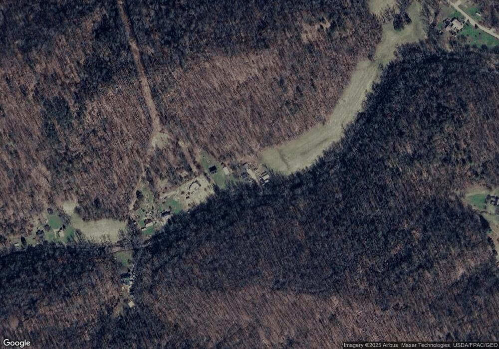
Map
Nearby Homes
- 1514 Strawberry Rd
- 1037 MacCorkle Ave SW
- 8 Cobblestone Ln
- 2262 Main Dr
- 713 High St
- 101 Whitetail Ln
- 20 Bellwood Dr
- 418 Donna Dr
- 69 Central Ave
- 67 Central Ave
- 11500 Coal River Rd
- 12240 Coal River Rd
- 2518 E Parkview Dr
- 336 Birch St
- 414 Lore St
- 1333 Summer St
- 211 Stuart St
- 209 Stuart St
- 48 Lee Dr
- 403 Hodges Rd
- 394 Bryants Branch Rd
- 42 Wisdom Dr
- 401 Bryants Branch Rd
- 529 Bryants Branch Rd
- 620 Bryans Branch
- 607 Rt Fk Jesse Fk R
- 758 Adkins Branch Rd
- 0 Bryan Branch Rd
- 2931 Browns Creek Rd
- 372 Browns Creek Rd
- 375 Browns Creek Rd
- BX388 Adkins Bx388 Fork
- 2543 Browns Creek Rd
- 41 Una Haven Ridge
- 506 Good Ln
- 563 Good Ln
- 2690 Browns Creek Rd
- 398 A Browns Creek Rd
- 2766 Browns Creek Rd
- 3136 Browns Creek Rd