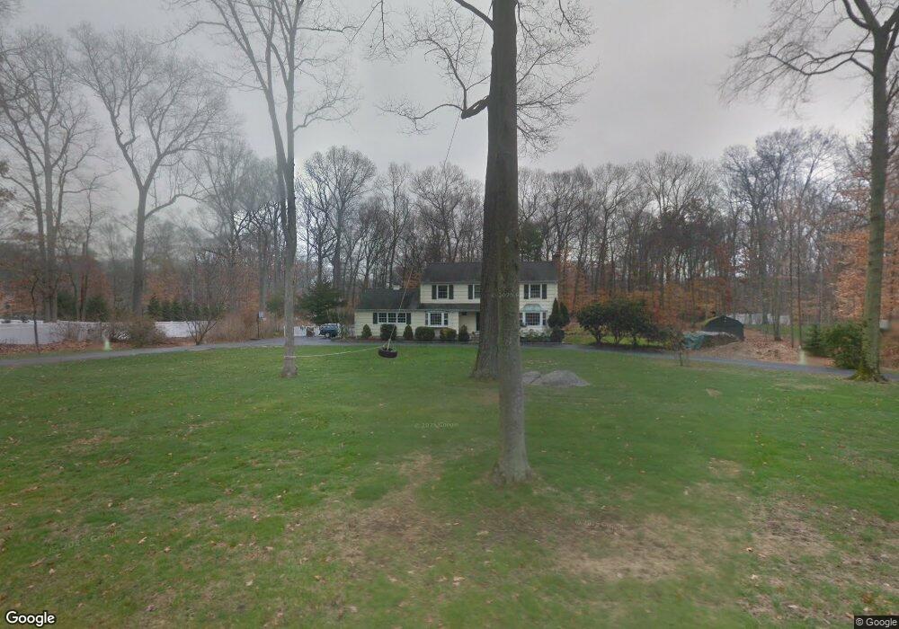
372 Cedar Ln New Canaan, CT 06840
Estimated Value: $1,711,000 - $1,905,000
4
Beds
3
Baths
2,974
Sq Ft
$599/Sq Ft
Est. Value
About This Home
This home is located at 372 Cedar Ln, New Canaan, CT 06840 and is currently estimated at $1,780,837, approximately $598 per square foot. 372 Cedar Ln is a home located in Fairfield County with nearby schools including East Elementary School, Saxe Middle School, and New Canaan High School.
Ownership History
Date
Name
Owned For
Owner Type
Purchase Details
Closed on
Oct 19, 2020
Sold by
Caruso Carlotta and Caruso Joseph
Bought by
Carlotta Caruso Ret
Current Estimated Value
Purchase Details
Closed on
Jun 28, 2000
Sold by
Holloway Marcus R and Holloway Leslie G
Bought by
Cruso Joseph R and Caruso Carlotta A
Home Financials for this Owner
Home Financials are based on the most recent Mortgage that was taken out on this home.
Original Mortgage
$400,000
Interest Rate
7.5%
Purchase Details
Closed on
May 17, 1994
Sold by
Kirby William H and Kirby Zoe B
Bought by
Holloway R Marcus and Holloway Leslie G
Create a Home Valuation Report for This Property
The Home Valuation Report is an in-depth analysis detailing your home's value as well as a comparison with similar homes in the area
Home Values in the Area
Average Home Value in this Area
Purchase History
| Date | Buyer | Sale Price | Title Company |
|---|---|---|---|
| Carlotta Caruso Ret | -- | None Available | |
| Cruso Joseph R | $758,000 | -- | |
| Holloway R Marcus | $550,000 | -- |
Source: Public Records
Mortgage History
| Date | Status | Borrower | Loan Amount |
|---|---|---|---|
| Previous Owner | Holloway R Marcus | $500,000 | |
| Previous Owner | Holloway R Marcus | $300,000 | |
| Previous Owner | Holloway R Marcus | $387,500 | |
| Previous Owner | Holloway R Marcus | $400,000 |
Source: Public Records
Tax History Compared to Growth
Tax History
| Year | Tax Paid | Tax Assessment Tax Assessment Total Assessment is a certain percentage of the fair market value that is determined by local assessors to be the total taxable value of land and additions on the property. | Land | Improvement |
|---|---|---|---|---|
| 2025 | $14,864 | $890,610 | $612,850 | $277,760 |
| 2024 | $14,374 | $890,610 | $612,850 | $277,760 |
| 2023 | $14,825 | $782,740 | $556,290 | $226,450 |
| 2022 | $14,379 | $782,740 | $556,290 | $226,450 |
| 2021 | $14,215 | $782,740 | $556,290 | $226,450 |
| 2020 | $14,215 | $782,740 | $556,290 | $226,450 |
| 2019 | $14,277 | $782,740 | $556,290 | $226,450 |
| 2018 | $13,839 | $815,990 | $547,260 | $268,730 |
| 2017 | $10,990 | $659,260 | $547,260 | $112,000 |
| 2016 | $10,753 | $659,260 | $547,260 | $112,000 |
| 2015 | $10,917 | $659,260 | $547,260 | $112,000 |
| 2014 | $10,245 | $659,260 | $547,260 | $112,000 |
Source: Public Records
Map
Nearby Homes
- 59 Snowberry Ln
- 515 Carter St
- 48 Silver Ridge Rd
- 152 Long Lots Rd
- 106A Comstock Hill Ave
- 63 Middle Ridge Rd
- 255 Silvermine Ave
- 860 Silvermine Rd
- 250 Carter St
- 158L Carter St
- 152L Carter St
- 140L Carter St
- 256 Mill Rd
- 136L Carter St
- 4 Fullmar Ln
- 339 Old Norwalk Rd
- 38 Fitch Ln
- 67 Carter St
- 18 Singing Woods Rd
- 9 Singing Woods Rd