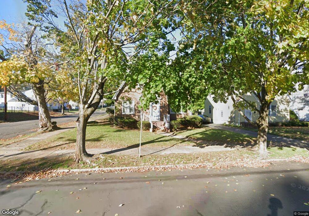
372 Commonwealth Ave New Britain, CT 06053
Estimated Value: $293,000 - $351,000
3
Beds
1
Bath
1,695
Sq Ft
$191/Sq Ft
Est. Value
About This Home
This home is located at 372 Commonwealth Ave, New Britain, CT 06053 and is currently estimated at $324,363, approximately $191 per square foot. 372 Commonwealth Ave is a home located in Hartford County with nearby schools including Holmes School, Pulaski Middle School, and Mountain Laurel Sudbury School.
Ownership History
Date
Name
Owned For
Owner Type
Purchase Details
Closed on
Dec 28, 1995
Sold by
Hartford Fb Partners
Bought by
Tower Business Ctr Llc
Current Estimated Value
Home Financials for this Owner
Home Financials are based on the most recent Mortgage that was taken out on this home.
Original Mortgage
$2,300,000
Interest Rate
1.75%
Mortgage Type
Purchase Money Mortgage
Create a Home Valuation Report for This Property
The Home Valuation Report is an in-depth analysis detailing your home's value as well as a comparison with similar homes in the area
Home Values in the Area
Average Home Value in this Area
Purchase History
| Date | Buyer | Sale Price | Title Company |
|---|---|---|---|
| Tower Business Ctr Llc | $300,000 | -- |
Source: Public Records
Mortgage History
| Date | Status | Borrower | Loan Amount |
|---|---|---|---|
| Open | Tower Business Ctr Llc | $85,000 | |
| Closed | Tower Business Ctr Llc | $60,000 | |
| Closed | Tower Business Ctr Llc | $2,300,000 |
Source: Public Records
Tax History
| Year | Tax Paid | Tax Assessment Tax Assessment Total Assessment is a certain percentage of the fair market value that is determined by local assessors to be the total taxable value of land and additions on the property. | Land | Improvement |
|---|---|---|---|---|
| 2025 | $7,235 | $184,660 | $66,080 | $118,580 |
| 2024 | $7,311 | $184,660 | $66,080 | $118,580 |
| 2023 | $7,069 | $184,660 | $66,080 | $118,580 |
| 2022 | $5,915 | $119,490 | $30,450 | $89,040 |
| 2021 | $5,915 | $119,490 | $30,450 | $89,040 |
| 2020 | $6,034 | $119,490 | $30,450 | $89,040 |
| 2019 | $6,034 | $119,490 | $30,450 | $89,040 |
| 2018 | $6,034 | $119,490 | $30,450 | $89,040 |
| 2017 | $5,486 | $108,640 | $27,720 | $80,920 |
| 2016 | $5,486 | $108,640 | $27,720 | $80,920 |
| 2015 | $5,323 | $108,640 | $27,720 | $80,920 |
| 2014 | $5,323 | $108,640 | $27,720 | $80,920 |
Source: Public Records
Map
Nearby Homes
- 378 Commonwealth Ave
- 364 Commonwealth Ave
- 384 Commonwealth Ave
- 19 Seneca St
- 358 Commonwealth Ave
- 390 Commonwealth Ave
- 18 Seneca St
- 27 Seneca St
- 354 Commonwealth Ave
- 22 Seneca St
- 398 Commonwealth Ave
- 244 Carlton St
- 375 Commonwealth Ave
- 33 Seneca St
- 367 Commonwealth Ave
- 367 Commonwealth Ave Unit 2
- 367 Commonwealth Ave Unit Right Side
- 367 Commonwealth Ave Unit Right unit
- 367 Commonwealth Ave Unit Left Unit
- 367 Commonwealth Ave Unit Left
Your Personal Tour Guide
Ask me questions while you tour the home.