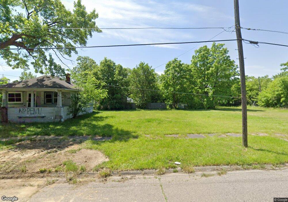
372 Damon St Flint, MI 48505
King Avenue Plus NeighborhoodEstimated Value: $49,000 - $99,000
2
Beds
1
Bath
768
Sq Ft
$96/Sq Ft
Est. Value
About This Home
This home is located at 372 Damon St, Flint, MI 48505 and is currently estimated at $74,000, approximately $96 per square foot. 372 Damon St is a home located in Genesee County with nearby schools including Brownell STEM Academy, The New Standard Academy, and Eagle's Nest Academy.
Ownership History
Date
Name
Owned For
Owner Type
Purchase Details
Closed on
Dec 21, 2011
Sold by
Genesee County Treasurer
Bought by
Genesee County Land Bank
Current Estimated Value
Purchase Details
Closed on
Sep 4, 2007
Sold by
Fuson Dennis
Bought by
Seibel Larry D
Purchase Details
Closed on
Oct 30, 2006
Sold by
Walker Dorothy
Bought by
Quicken Loans Inc
Purchase Details
Closed on
Mar 29, 2004
Sold by
Mortgage Electronic Registration Systems
Bought by
Federal National Mortgage Association
Purchase Details
Closed on
Mar 24, 2004
Sold by
Durant Michelle
Bought by
Mortgage Electronic Registration Systems
Purchase Details
Closed on
Sep 5, 2001
Sold by
Walker Dorothy and Walker Rufus
Bought by
Bank One National Assn
Create a Home Valuation Report for This Property
The Home Valuation Report is an in-depth analysis detailing your home's value as well as a comparison with similar homes in the area
Home Values in the Area
Average Home Value in this Area
Purchase History
| Date | Buyer | Sale Price | Title Company |
|---|---|---|---|
| Genesee County Land Bank | -- | None Available | |
| Seibel Larry D | $62,000 | First American Title Ins Co | |
| Quicken Loans Inc | -- | None Available | |
| Federal National Mortgage Association | -- | -- | |
| Mortgage Electronic Registration Systems | $55,032 | -- | |
| Bank One National Assn | $13,600 | -- |
Source: Public Records
Tax History
| Year | Tax Paid | Tax Assessment Tax Assessment Total Assessment is a certain percentage of the fair market value that is determined by local assessors to be the total taxable value of land and additions on the property. | Land | Improvement |
|---|---|---|---|---|
| 2025 | -- | $0 | $0 | $0 |
| 2024 | -- | $0 | $0 | $0 |
| 2023 | -- | $0 | $0 | $0 |
| 2022 | $0 | $0 | $0 | $0 |
| 2021 | $0 | $0 | $0 | $0 |
| 2020 | $0 | $0 | $0 | $0 |
| 2019 | $0 | $0 | $0 | $0 |
| 2018 | $0 | $0 | $0 | $0 |
| 2017 | $0 | $0 | $0 | $0 |
| 2016 | $0 | $0 | $0 | $0 |
| 2015 | -- | $0 | $0 | $0 |
| 2014 | -- | $0 | $0 | $0 |
| 2012 | -- | $0 | $0 | $0 |
Source: Public Records
Map
Nearby Homes
- 3810 Marvin St
- 124 W Flint Park Blvd
- 4028 North St
- 902 Addison St
- 906 Addison St
- 132 W Jamieson St
- 217 W Dewey St
- 329 W Baltimore Blvd
- 115 E Genesee St
- 0 E Marengo Ave Unit 50200980
- 200 W Mcclellan St
- 606 W Stewart Ave
- 510 W Bishop Ave
- 680 E Pierson Rd
- 702/718 W Flint Park Blvd
- 320 W Mcclellan St
- 218 E Jackson Ave
- 618 E Parkway Ave
- 630 E Dartmouth St
- 525 W Pulaski Ave
Your Personal Tour Guide
Ask me questions while you tour the home.