Estimated Value: $909,000 - $1,059,956
3
Beds
3
Baths
2,947
Sq Ft
$338/Sq Ft
Est. Value
About This Home
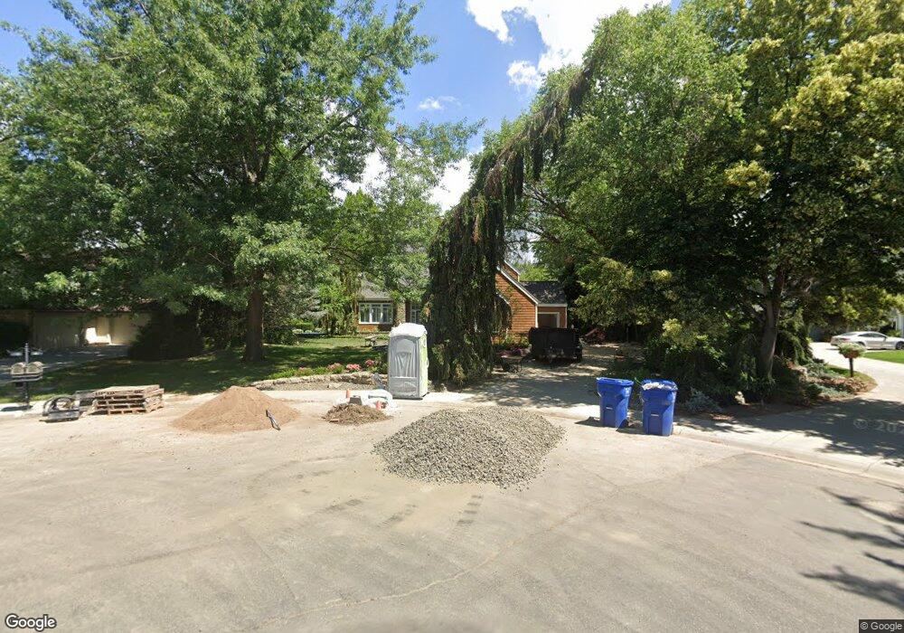
This home is located at 372 E Woodlander Ct, Eagle, ID 83616 and is currently estimated at $996,239, approximately $338 per square foot. 372 E Woodlander Ct is a home located in Ada County with nearby schools including Cecil D. Andrus Elementary School, Eagle Middle School, and Eagle High School.
Ownership History
Date
Name
Owned For
Owner Type
Purchase Details
Closed on
Jun 25, 2019
Sold by
Chandler John E and Chandler Vikie L
Bought by
Sampson Nathan A and Sampson Aryn E
Current Estimated Value
Home Financials for this Owner
Home Financials are based on the most recent Mortgage that was taken out on this home.
Original Mortgage
$484,350
Outstanding Balance
$424,999
Interest Rate
4%
Mortgage Type
New Conventional
Estimated Equity
$571,240
Purchase Details
Closed on
Oct 10, 2011
Sold by
Prazenica Charles C and Prazenica Catherine
Bought by
Chandler John E and Chandler Vikie L
Home Financials for this Owner
Home Financials are based on the most recent Mortgage that was taken out on this home.
Original Mortgage
$357,390
Interest Rate
4.01%
Mortgage Type
New Conventional
Create a Home Valuation Report for This Property
The Home Valuation Report is an in-depth analysis detailing your home's value as well as a comparison with similar homes in the area
Home Values in the Area
Average Home Value in this Area
Purchase History
| Date | Buyer | Sale Price | Title Company |
|---|---|---|---|
| Sampson Nathan A | -- | Titleone Boise | |
| Chandler John E | -- | Pioneer Title Company Of Ada |
Source: Public Records
Mortgage History
| Date | Status | Borrower | Loan Amount |
|---|---|---|---|
| Open | Sampson Nathan A | $484,350 | |
| Previous Owner | Chandler John E | $357,390 |
Source: Public Records
Tax History
| Year | Tax Paid | Tax Assessment Tax Assessment Total Assessment is a certain percentage of the fair market value that is determined by local assessors to be the total taxable value of land and additions on the property. | Land | Improvement |
|---|---|---|---|---|
| 2025 | $3,416 | $965,100 | -- | -- |
| 2024 | $3,993 | $949,900 | -- | -- |
| 2023 | $3,993 | $1,001,500 | $0 | $0 |
| 2022 | $4,379 | $1,092,400 | $0 | $0 |
| 2021 | $4,020 | $786,500 | $0 | $0 |
| 2020 | $4,036 | $612,500 | $0 | $0 |
| 2019 | $4,401 | $557,600 | $0 | $0 |
| 2018 | $4,533 | $538,200 | $0 | $0 |
| 2017 | $4,158 | $480,300 | $0 | $0 |
| 2016 | $4,109 | $453,800 | $0 | $0 |
| 2015 | $4,114 | $437,700 | $0 | $0 |
| 2012 | -- | $367,600 | $0 | $0 |
Source: Public Records
Map
Nearby Homes
- 1640 S Lakemoor Way
- 1428 S Island Glenn Way
- 1013 E Rivers End Dr
- 1908 S Stream Pointe Ln
- 348 E Riversedge Dr
- 1049 E Riversong Dr
- 1166 E Rivers End Dr
- 411 E Lombard Ln Unit The Heyburn
- 381 E Lombard Ln Unit The Destin
- 373 E Lombard Ln Unit The Dayton
- 349 E Lombard Ln
- 436 E Sawyer Gold Ln Unit The Heyburn
- 386 E Presidio Ln
- 374 E Presidio Ln
- 583 Watercress Ln
- 226 E Riversedge Dr
- 325 W Rivermont Ln
- 509 E Watercress
- 101 S Flagstone Ln
- 132 S Young Ln
- 396 E Woodlander Ct
- 348 E Woodlander Ct
- 372 E
- 324 E Woodlander Ct
- 1223 S Watermark Place
- 359 E Woodlander Ct
- 1241 S Watermark Place
- 325 E Woodlander Ct
- 300 E Woodlander Ct
- 300 E Woodlander Ct
- 1277 S Watermark Ave
- 1228 S Watermark Place
- 1295 S Watermark Ave
- 276 E Woodlander Dr
- 287 E Woodlander Dr
- 1242 S Gosling Way
- 1246 S Watermark Place
- 1313 S Watermark Ave
- 1268 S Watermark Ave
- 252 E Woodlander Dr
Your Personal Tour Guide
Ask me questions while you tour the home.