372 Harbor Dr Lancaster, TN 38569
Estimated Value: $562,000 - $1,002,000
Studio
3
Baths
3,528
Sq Ft
$230/Sq Ft
Est. Value
About This Home
This home is located at 372 Harbor Dr, Lancaster, TN 38569 and is currently estimated at $811,918, approximately $230 per square foot. 372 Harbor Dr is a home located in DeKalb County.
Ownership History
Date
Name
Owned For
Owner Type
Purchase Details
Closed on
Mar 15, 2021
Sold by
Phillips John O
Bought by
Mokros Michael and Mokros Dawn
Current Estimated Value
Home Financials for this Owner
Home Financials are based on the most recent Mortgage that was taken out on this home.
Original Mortgage
$413,850
Outstanding Balance
$369,298
Interest Rate
2.7%
Mortgage Type
New Conventional
Estimated Equity
$442,620
Purchase Details
Closed on
May 16, 2019
Sold by
Davis Dan J
Bought by
Outbak Properties Llc
Purchase Details
Closed on
Dec 31, 2016
Sold by
Davis Dan J
Bought by
Allen Davis Dan J Christiaan Volkert Joseph and Dyer Randall
Purchase Details
Closed on
Oct 1, 2001
Bought by
Bass William B and Bass Sara C
Create a Home Valuation Report for This Property
The Home Valuation Report is an in-depth analysis detailing your home's value as well as a comparison with similar homes in the area
Purchase History
| Date | Buyer | Sale Price | Title Company |
|---|---|---|---|
| Mokros Michael | $465,000 | -- | |
| Outbak Properties Llc | -- | -- | |
| Allen Davis Dan J Christiaan Volkert Joseph | $862,500 | -- | |
| Bass William B | $143,900 | -- |
Source: Public Records
Mortgage History
| Date | Status | Borrower | Loan Amount |
|---|---|---|---|
| Open | Mokros Michael | $413,850 |
Source: Public Records
Tax History
| Year | Tax Paid | Tax Assessment Tax Assessment Total Assessment is a certain percentage of the fair market value that is determined by local assessors to be the total taxable value of land and additions on the property. | Land | Improvement |
|---|---|---|---|---|
| 2025 | $3,504 | $139,600 | $31,250 | $108,350 |
| 2024 | $3,504 | $139,600 | $31,250 | $108,350 |
| 2023 | $2,792 | $139,600 | $31,250 | $108,350 |
| 2022 | $2,416 | $139,600 | $31,250 | $108,350 |
| 2021 | $2,416 | $139,600 | $31,250 | $108,350 |
| 2020 | $2,578 | $139,600 | $31,250 | $108,350 |
| 2019 | $2,578 | $121,425 | $33,750 | $87,675 |
| 2018 | $2,226 | $121,425 | $33,750 | $87,675 |
| 2017 | $2,226 | $121,425 | $33,750 | $87,675 |
| 2016 | $2,226 | $121,425 | $33,750 | $87,675 |
| 2015 | $1,967 | $121,425 | $33,750 | $87,675 |
| 2014 | $1,881 | $116,100 | $33,750 | $82,350 |
| 2013 | $1,881 | $116,100 | $33,750 | $82,350 |
Source: Public Records
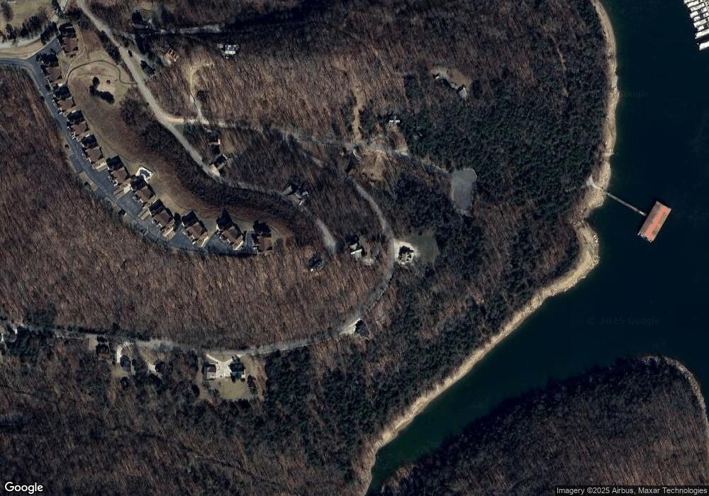
Map
Nearby Homes
- 0 Bay View Dr Unit RTC3030507
- 11 Bay Dr
- 56 Harbor Dr
- 35 Bayview Dr
- 525 Harbor Dr
- 7100 Dale Ridge Rd Unit J5
- 0 Bayside Dr Unit 12
- 7383 Dale Ridge Rd
- 77 Baymont Dr
- 404 Duke Cir
- 7720 Dale Ridge Rd
- 6817 Dale Ridge Rd
- 800 Harbor Dr
- 5175 Dale Ridge Rd
- 574 Hayes Ridge Rd
- 448 Dean Acre Ln
- 0 Harbor Dr Unit 55
- 0 Harbor Dr Unit RTC3067264
- 1741 Lancaster Rd
- 4445 Hurricane Ridge Rd
- 29 Bay View Dr
- 0 Bay View Dr Unit RTC2432732
- 375 Harbor Dr
- 250 Bayview Dr
- 12 Harbor Dr
- Lot 55 Harbor Dr
- 00 Lot 28 Harbor Dr
- 170 Bay Dr
- 0 Harbor Dr Lot 65 Unit 2022559
- 165 Bayview Dr
- 415 Harbor Dr
- 0 Harbor Dr Lot 66 Unit 2022561
- 0 Bay Dr Unit RTC2676967
- 0 Bay Dr Unit RTC2530234
- 0 Bay Dr Unit RTC2530233
- 0 Bay Dr Unit RTC2430911
- 0 Bay Dr Unit RTC2388359
- 19 Harbor Dr
- 187 Bay Dr
- 135 Bay Dr
Your Personal Tour Guide
Ask me questions while you tour the home.