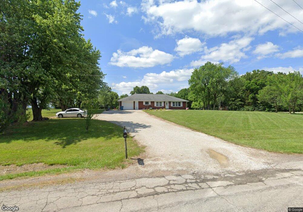
372 Highway Dd Loose Creek, MO 65054
Estimated Value: $166,075 - $326,000
4
Beds
--
Bath
2,145
Sq Ft
$108/Sq Ft
Est. Value
About This Home
This home is located at 372 Highway Dd, Loose Creek, MO 65054 and is currently estimated at $231,769, approximately $108 per square foot. 372 Highway Dd is a home with nearby schools including Osage County Elementary School, Linn High School, and St. George School.
Ownership History
Date
Name
Owned For
Owner Type
Purchase Details
Closed on
May 15, 2018
Sold by
Peters Rhonda
Bought by
Pointer Matthew and Pointer Brittany
Current Estimated Value
Home Financials for this Owner
Home Financials are based on the most recent Mortgage that was taken out on this home.
Original Mortgage
$100,000
Outstanding Balance
$86,103
Interest Rate
4.4%
Mortgage Type
New Conventional
Estimated Equity
$145,666
Purchase Details
Closed on
Aug 24, 2007
Sold by
Jaegers Bernard L and Jaegers Deborah
Bought by
Hamburg Tim and Hamburg Heather
Home Financials for this Owner
Home Financials are based on the most recent Mortgage that was taken out on this home.
Original Mortgage
$112,100
Interest Rate
6.72%
Create a Home Valuation Report for This Property
The Home Valuation Report is an in-depth analysis detailing your home's value as well as a comparison with similar homes in the area
Home Values in the Area
Average Home Value in this Area
Purchase History
| Date | Buyer | Sale Price | Title Company |
|---|---|---|---|
| Pointer Matthew | -- | None Available | |
| Hamburg Tim | -- | -- |
Source: Public Records
Mortgage History
| Date | Status | Borrower | Loan Amount |
|---|---|---|---|
| Open | Pointer Matthew | $100,000 | |
| Previous Owner | Hamburg Tim | $112,100 |
Source: Public Records
Tax History Compared to Growth
Tax History
| Year | Tax Paid | Tax Assessment Tax Assessment Total Assessment is a certain percentage of the fair market value that is determined by local assessors to be the total taxable value of land and additions on the property. | Land | Improvement |
|---|---|---|---|---|
| 2024 | $765 | $16,513 | $0 | $0 |
| 2023 | $735 | $15,373 | $0 | $0 |
| 2022 | $728 | $14,360 | $0 | $0 |
| 2021 | $657 | $14,360 | $0 | $0 |
| 2020 | $657 | $13,350 | $0 | $0 |
| 2019 | $646 | $19,660 | $0 | $0 |
| 2018 | $813 | $16,890 | $0 | $0 |
| 2017 | $818 | $16,890 | $0 | $0 |
| 2014 | -- | $16,630 | $0 | $0 |
| 2013 | -- | $16,630 | $0 | $0 |
Source: Public Records
Map
Nearby Homes
- 471 County Road 621
- 762 &784 Hwy 50
- 914 E Washington St
- 0 Highway 50
- 0 County Road 620
- 96 County Road 402
- 504 State Highway A
- State Highway A
- 3447 U S 63
- 0 Sunset Hills Trail
- 216 W Main St
- 0 Fawn Hollow Trail
- 1351 Highway 63
- 10508 Marina Rd
- 0 Marina Rd Unit 10067168
- 137 County Road 524
- 28 Monroe Hills Ln
- 1941 County Road 806
- 806 County Rd
- 0 County Road 806
- 346 Highway Dd
- 428 Highway Dd
- 2498 County Road 602
- 2495 County Road 602
- 2469 County Road 602
- 208 Highway Dd
- 190 Highway Dd
- 604 Highway Dd
- 581 Highway Dd
- 306 County Road 607
- 2323 County Road 602
- 2302 County Road 602
- 594 County Road 606
- 1634 Highway U
- 2185 County Road 602
- 49 Patience Dr
- 87 County Road 607
- 1853 Highway U
- 456 County Road 606
- 1765 Highway U