372 John Crotts Rd Mocksville, NC 27028
Estimated Value: $556,000 - $934,525
1
Bed
2
Baths
2,605
Sq Ft
$286/Sq Ft
Est. Value
About This Home
This home is located at 372 John Crotts Rd, Mocksville, NC 27028 and is currently estimated at $745,263, approximately $286 per square foot. 372 John Crotts Rd is a home with nearby schools including Cornatzer Elementary School, William Ellis Middle School, and Davie County High School.
Ownership History
Date
Name
Owned For
Owner Type
Purchase Details
Closed on
Jun 22, 2015
Sold by
Land First Development Llc
Bought by
Lyday Russell Wilson and Lyday Vicky Riddle
Current Estimated Value
Purchase Details
Closed on
Nov 30, 2007
Sold by
Latham John Ray and Latham Darnell
Bought by
Land First Development Llc
Purchase Details
Closed on
Sep 1, 2000
Purchase Details
Closed on
Aug 1, 1979
Create a Home Valuation Report for This Property
The Home Valuation Report is an in-depth analysis detailing your home's value as well as a comparison with similar homes in the area
Home Values in the Area
Average Home Value in this Area
Purchase History
| Date | Buyer | Sale Price | Title Company |
|---|---|---|---|
| Lyday Russell Wilson | $210,000 | None Available | |
| Land First Development Llc | $86,500 | Attorney | |
| -- | $32,000 | -- | |
| -- | -- | -- |
Source: Public Records
Tax History Compared to Growth
Tax History
| Year | Tax Paid | Tax Assessment Tax Assessment Total Assessment is a certain percentage of the fair market value that is determined by local assessors to be the total taxable value of land and additions on the property. | Land | Improvement |
|---|---|---|---|---|
| 2025 | $5,515 | $800,840 | $422,880 | $377,960 |
| 2024 | $4,077 | $527,440 | $221,840 | $305,600 |
| 2023 | $4,077 | $527,440 | $221,840 | $305,600 |
| 2022 | $4,077 | $527,440 | $221,840 | $305,600 |
| 2021 | $3,891 | $503,420 | $221,840 | $281,580 |
| 2020 | $3,785 | $486,510 | $221,840 | $264,670 |
| 2019 | $3,785 | $486,510 | $221,840 | $264,670 |
| 2018 | $1,726 | $221,840 | $221,840 | $0 |
| 2017 | $1,704 | $221,840 | $0 | $0 |
| 2016 | $1,704 | $221,840 | $0 | $0 |
| 2015 | $670 | $221,840 | $0 | $0 |
| 2014 | $576 | $87,270 | $0 | $0 |
| 2013 | -- | $87,270 | $0 | $0 |
Source: Public Records
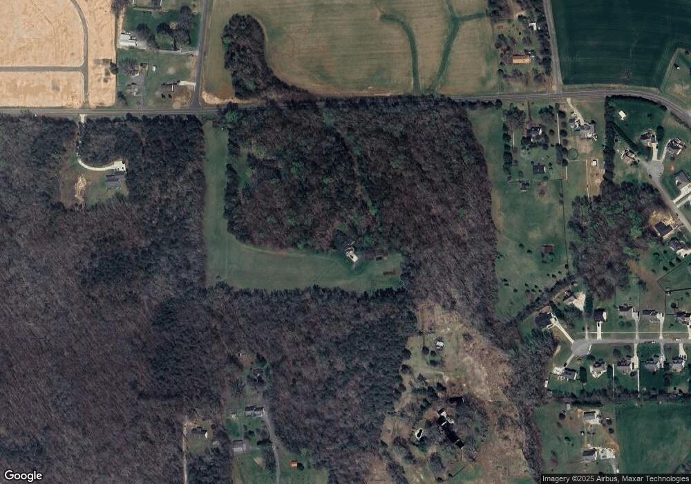
Map
Nearby Homes
- KYLE Plan at Hudson Glen
- BELHAVEN Plan at Hudson Glen
- PENWELL Plan at Hudson Glen
- HAYDEN Plan at Hudson Glen
- CALI Plan at Hudson Glen
- 137 Chessie Rd
- 170 Chessie Rd
- 168 Chessie Rd
- 191 Big Laurel Dr
- 193 Big Laurel Dr
- 173 Big Laurel Dr
- 194 Big Laurel Dr
- 192 Big Laurel Dr
- 190 Big Laurel Dr
- 176 Big Laurel Dr
- 160 Chessie Rd
- 161 Big Laurel Dr
- 166 Chessie Rd
- 109 Marbrook Dr
- 181 Big Laurel Dr
- 332 John Crotts Rd
- 01 John Crotts Rd
- 0000 John Crotts Rd
- 212 John Crotts Rd
- 1287 Us Highway 64 E
- 428 John Crotts Rd
- 184 Marbrook Dr
- 1347 Us Highway 64 E
- 1347 Us Highway 64 E
- 109 Pete Foster Rd
- 182 Marbrook Dr
- 435 John Crotts Rd
- 121 Pete Foster Rd
- 187 Marbrook Dr
- 02 John Crotts Rd
- 289 John Crotts Rd
- 440 John Crotts Rd
- 268 John Crotts Rd
- 183 Marbrook Dr
- 161 Elberon Ct