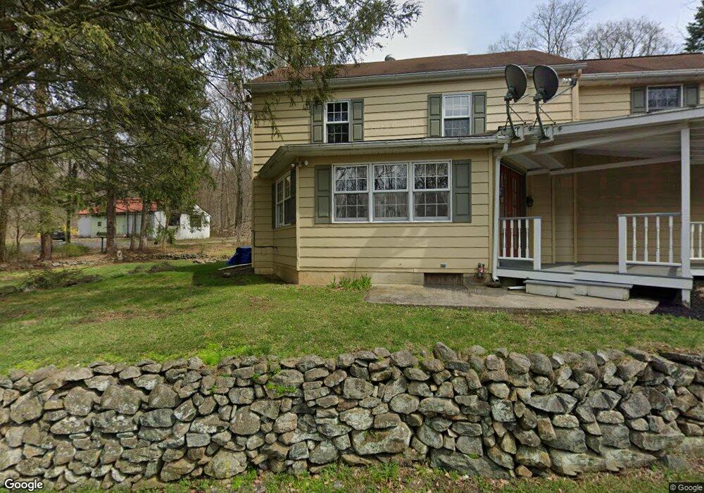
372 Landis Store Rd Boyertown, PA 19512
Estimated Value: $437,000 - $570,000
3
Beds
2
Baths
2,104
Sq Ft
$239/Sq Ft
Est. Value
About This Home
This home is located at 372 Landis Store Rd, Boyertown, PA 19512 and is currently estimated at $503,101, approximately $239 per square foot. 372 Landis Store Rd is a home located in Berks County with nearby schools including Brandywine Heights Elementary School, Brandywine Intermediate School, and Brandywine Heights High School.
Ownership History
Date
Name
Owned For
Owner Type
Purchase Details
Closed on
Nov 16, 2021
Sold by
Vandersnow Frederick
Bought by
Vandersnow Frederick and Vandersnow Maria
Current Estimated Value
Purchase Details
Closed on
Jun 16, 2018
Sold by
Vandersnow Frederick and Hivner Rita
Bought by
Vandersnow Frederick
Home Financials for this Owner
Home Financials are based on the most recent Mortgage that was taken out on this home.
Original Mortgage
$196,000
Outstanding Balance
$169,887
Interest Rate
4.6%
Mortgage Type
New Conventional
Estimated Equity
$333,214
Create a Home Valuation Report for This Property
The Home Valuation Report is an in-depth analysis detailing your home's value as well as a comparison with similar homes in the area
Home Values in the Area
Average Home Value in this Area
Purchase History
| Date | Buyer | Sale Price | Title Company |
|---|---|---|---|
| Vandersnow Frederick | -- | None Available | |
| Vandersnow Frederick | -- | Title Services |
Source: Public Records
Mortgage History
| Date | Status | Borrower | Loan Amount |
|---|---|---|---|
| Open | Vandersnow Frederick | $196,000 |
Source: Public Records
Tax History Compared to Growth
Tax History
| Year | Tax Paid | Tax Assessment Tax Assessment Total Assessment is a certain percentage of the fair market value that is determined by local assessors to be the total taxable value of land and additions on the property. | Land | Improvement |
|---|---|---|---|---|
| 2025 | $1,742 | $164,100 | $60,100 | $104,000 |
| 2024 | $7,512 | $164,100 | $60,100 | $104,000 |
| 2023 | $7,255 | $164,100 | $60,100 | $104,000 |
| 2022 | $7,085 | $164,100 | $60,100 | $104,000 |
| 2021 | $7,029 | $164,100 | $60,100 | $104,000 |
| 2020 | $6,892 | $164,100 | $60,100 | $104,000 |
| 2019 | $405 | $164,100 | $60,100 | $104,000 |
| 2018 | $6,710 | $164,100 | $60,100 | $104,000 |
| 2017 | $6,568 | $164,100 | $60,100 | $104,000 |
| 2016 | $1,242 | $164,100 | $60,100 | $104,000 |
| 2015 | $1,242 | $164,100 | $60,100 | $104,000 |
| 2014 | $1,242 | $164,100 | $60,100 | $104,000 |
Source: Public Records
Map
Nearby Homes
- 38 Lutz Rd
- 454 Landis Rd
- 4 Baldy Hill Rd
- 39 Lehmann Ln
- 297 Forgedale Rd
- 637 Forgedale Rd
- 2131 Weisstown Rd
- 12 Lehland Dr
- 70 Sugar Maple Rd
- 131 Stauffer Rd
- 129 Stauffer Rd
- 115 Limekiln Rd
- 115 Eagles Watch Dr S
- 127 Stauffer Rd
- 125 Stauffer Rd
- 483 Water St
- 169 Dale Rd
- 7 Mockingbird Ct
- 2390 Old Route 100
- 22 Apache Run
- 370 Landis Store Rd
- 378 Landis Store Rd
- 315 Merkle Rd
- 380 Landis Store Rd
- 377 Landis Store Rd
- 366 Landis Store Rd
- 323 Merkle Rd Pike
- 287 Merkle Rd
- 320 Merkle Rd
- 7666 Landis Store Rd
- 314 Merkle Rd
- 301 Merkle Rd
- 124 Goat Hill Rd
- 66 Weil Rd
- 00 Lutz Rd
- 400 Landis Store Rd
- 142 Weil Rd
- 399 Landis Store Rd
- 304 Merkle Rd
- 156 Weil Rd