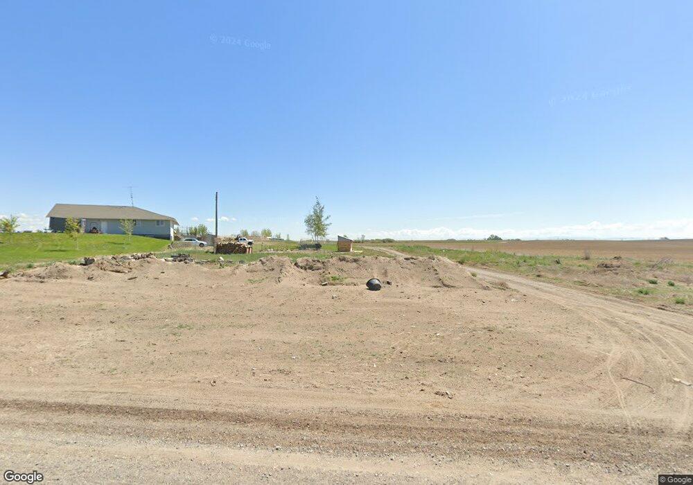
372 N 400 E Rupert, ID 83350
Estimated Value: $801,000 - $813,794
8
Beds
6
Baths
5,009
Sq Ft
$161/Sq Ft
Est. Value
About This Home
This home is located at 372 N 400 E, Rupert, ID 83350 and is currently estimated at $807,397, approximately $161 per square foot. 372 N 400 E is a home located in Minidoka County with nearby schools including Acequia Elementary School and Minico Senior High School.
Ownership History
Date
Name
Owned For
Owner Type
Purchase Details
Closed on
Jun 28, 2019
Sold by
Swenson Annette J and Kent Annette J
Bought by
Kent Daryl and Kent Calissa
Current Estimated Value
Home Financials for this Owner
Home Financials are based on the most recent Mortgage that was taken out on this home.
Original Mortgage
$185,000
Outstanding Balance
$162,330
Interest Rate
4%
Mortgage Type
Seller Take Back
Estimated Equity
$645,067
Create a Home Valuation Report for This Property
The Home Valuation Report is an in-depth analysis detailing your home's value as well as a comparison with similar homes in the area
Purchase History
| Date | Buyer | Sale Price | Title Company |
|---|---|---|---|
| Kent Daryl | -- | Titleone Burley | |
| Swenson Annette J | -- | Titleone Burley | |
| Swenson Annette J | -- | Titleone Burley |
Source: Public Records
Mortgage History
| Date | Status | Borrower | Loan Amount |
|---|---|---|---|
| Open | Kent Daryl | $185,000 |
Source: Public Records
Tax History
| Year | Tax Paid | Tax Assessment Tax Assessment Total Assessment is a certain percentage of the fair market value that is determined by local assessors to be the total taxable value of land and additions on the property. | Land | Improvement |
|---|---|---|---|---|
| 2025 | $2,349 | $606,546 | $83,413 | $523,133 |
| 2024 | $2,537 | $606,546 | $83,413 | $523,133 |
| 2023 | $2,057 | $576,513 | $84,050 | $492,463 |
| 2022 | $2,681 | $534,709 | $70,550 | $464,159 |
| 2021 | $2,355 | $415,467 | $62,200 | $353,267 |
| 2020 | $2,230 | $363,545 | $57,700 | $305,845 |
| 2019 | $3,106 | $344,429 | $0 | $0 |
| 2018 | $2,792 | $297,509 | $53,900 | $243,609 |
| 2017 | $2,755 | $301,918 | $40,470 | $261,448 |
| 2016 | $2,752 | $0 | $0 | $0 |
| 2015 | -- | $0 | $0 | $0 |
| 2014 | -- | $0 | $0 | $0 |
| 2012 | -- | $0 | $0 | $0 |
Source: Public Records
Map
Nearby Homes
- TBD Wildflower Ln (Lot 3)
- TBD Wildflower Ln (Lot 4)
- TBD Wildflower (Lot 2)
- TBD Wildflower Ln (Lot 2)
- TBD Wildflower Ln (Lot 1)
- TBD Wildflower Ln (Lot1)
- TBD Wildflower Ln (Lot 10)
- TBD
- TBD Wildflower Ln
- TBD Wildflower Ln (Lot 9 )
- TBD Wildflower Ln (Lot 5)
- TBD Wildflower Ln (Lot 6)
- TBD Wildflower Ln (Lot 8)
- TBD Wildflowe Ln (Lot 6)
- TBD E Wildflower Ln (Lot 7)
- 33 Skyline Dr
- 781 N 1150 Rd E
- 304 Shillington Ct
- TBD 100 N Lot 4
- TBD 200 W Lot 3
Your Personal Tour Guide
Ask me questions while you tour the home.