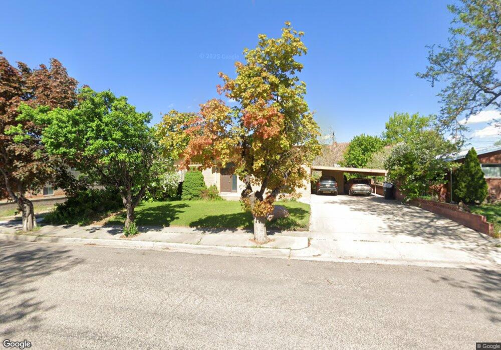
372 N 700 W Cedar City, UT 84721
Estimated Value: $356,000 - $389,000
4
Beds
3
Baths
2,600
Sq Ft
$142/Sq Ft
Est. Value
About This Home
This home is located at 372 N 700 W, Cedar City, UT 84721 and is currently estimated at $368,922, approximately $141 per square foot. 372 N 700 W is a home located in Iron County with nearby schools including Cedar North School, Cedar Middle School, and Cedar City High School.
Ownership History
Date
Name
Owned For
Owner Type
Purchase Details
Closed on
Jun 25, 2021
Sold by
Talmage Dunnell David and Pace Laurie
Bought by
Dunnell Rentals Llc
Current Estimated Value
Purchase Details
Closed on
May 15, 2017
Sold by
Dunnell Betty Jo
Bought by
Dunnell David Talmage and Dunnell Laurie Pace
Home Financials for this Owner
Home Financials are based on the most recent Mortgage that was taken out on this home.
Original Mortgage
$134,925
Interest Rate
4.14%
Mortgage Type
New Conventional
Purchase Details
Closed on
Feb 18, 2016
Sold by
Dunnell Fred M and Dunnell Betty Jo
Bought by
Dunnell Fred M and Dunnell Betty Jo
Home Financials for this Owner
Home Financials are based on the most recent Mortgage that was taken out on this home.
Original Mortgage
$136,000
Interest Rate
3.97%
Mortgage Type
New Conventional
Create a Home Valuation Report for This Property
The Home Valuation Report is an in-depth analysis detailing your home's value as well as a comparison with similar homes in the area
Home Values in the Area
Average Home Value in this Area
Purchase History
| Date | Buyer | Sale Price | Title Company |
|---|---|---|---|
| Dunnell Rentals Llc | -- | Cedar Land Title | |
| Dunnell David Talmage | -- | Cedar Land Title Inc | |
| Dunnell Fred M | -- | Cedar Land Title Inc | |
| Dunnell Fred M | -- | Cedar Land Title Inc |
Source: Public Records
Mortgage History
| Date | Status | Borrower | Loan Amount |
|---|---|---|---|
| Previous Owner | Dunnell David Talmage | $134,925 | |
| Previous Owner | Dunnell Fred M | $136,000 |
Source: Public Records
Tax History Compared to Growth
Tax History
| Year | Tax Paid | Tax Assessment Tax Assessment Total Assessment is a certain percentage of the fair market value that is determined by local assessors to be the total taxable value of land and additions on the property. | Land | Improvement |
|---|---|---|---|---|
| 2025 | $1,681 | $216,086 | $43,558 | $172,528 |
| 2023 | $1,674 | $196,775 | $37,875 | $158,900 |
| 2022 | $1,723 | $187,405 | $36,070 | $151,335 |
| 2021 | $1,228 | $133,620 | $17,175 | $116,445 |
| 2020 | $1,328 | $128,090 | $17,175 | $110,915 |
| 2019 | $1,188 | $109,605 | $17,175 | $92,430 |
| 2018 | $1,242 | $110,835 | $17,175 | $93,660 |
| 2017 | $1,189 | $104,430 | $12,565 | $91,865 |
| 2016 | $1,070 | $87,570 | $10,170 | $77,400 |
| 2015 | $1,034 | $80,225 | $0 | $0 |
| 2014 | $993 | $72,050 | $0 | $0 |
Source: Public Records
Map
Nearby Homes
- 4.12 Acre Water Rights
- 465 N 800 W Unit 3
- 465 N 800 W Unit 7
- 373 N 400 W
- 457 N 400 W Unit 7
- 2904 W Oak Springs Rd
- 1120 Bulloch Cir
- 119 & 141 N 800 W Unit B
- 119 N 800 W Unit Building A
- 1137 Brook St
- 370 N 1400 W
- 3.73 ac N 100 W
- 0 1 Af Water (Wr # 73-999) Unit 25-265506
- 374 N 1500 W
- 272 N 1500 W
- 40 shares E Extension Irrigation Co
- 40 shares Primary Water Unit East Extension Irrig
- 325 N 1500 W
- 1225 W Harding Ave Unit 8