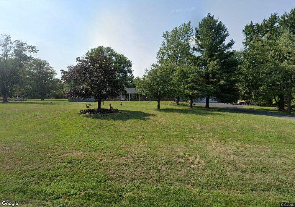
372 Plunkert Rd Littlestown, PA 17340
Estimated Value: $434,000 - $563,485
3
Beds
2
Baths
2,834
Sq Ft
$177/Sq Ft
Est. Value
About This Home
This home is located at 372 Plunkert Rd, Littlestown, PA 17340 and is currently estimated at $501,371, approximately $176 per square foot. 372 Plunkert Rd is a home located in Adams County with nearby schools including Rolling Acres El School, Maple Avenue Middle School, and Littlestown Senior High School.
Ownership History
Date
Name
Owned For
Owner Type
Purchase Details
Closed on
Jul 13, 2006
Sold by
Boccabello Michael F
Bought by
Boccabello Michael F
Current Estimated Value
Purchase Details
Closed on
Jan 13, 2006
Sold by
Boccabella Michael F and Boccabello Michael F
Bought by
Boccabello Michael F
Create a Home Valuation Report for This Property
The Home Valuation Report is an in-depth analysis detailing your home's value as well as a comparison with similar homes in the area
Purchase History
| Date | Buyer | Sale Price | Title Company |
|---|---|---|---|
| Boccabello Michael F | -- | -- | |
| Boccabello Michael F | -- | -- |
Source: Public Records
Tax History
| Year | Tax Paid | Tax Assessment Tax Assessment Total Assessment is a certain percentage of the fair market value that is determined by local assessors to be the total taxable value of land and additions on the property. | Land | Improvement |
|---|---|---|---|---|
| 2025 | $5,657 | $342,600 | $123,800 | $218,800 |
| 2024 | $6,113 | $342,600 | $123,800 | $218,800 |
| 2023 | $5,990 | $342,600 | $123,800 | $218,800 |
| 2022 | $5,946 | $342,600 | $123,800 | $218,800 |
| 2021 | $5,783 | $342,600 | $123,800 | $218,800 |
| 2020 | $5,262 | $342,600 | $123,800 | $218,800 |
| 2019 | $5,224 | $342,600 | $123,800 | $218,800 |
| 2018 | $5,453 | $342,600 | $123,800 | $218,800 |
| 2017 | $5,283 | $342,600 | $123,800 | $218,800 |
| 2016 | -- | $342,600 | $123,800 | $218,800 |
| 2015 | -- | $342,600 | $123,800 | $218,800 |
| 2014 | -- | $342,600 | $123,800 | $218,800 |
Source: Public Records
Map
Nearby Homes
- 464 Locust Ln
- 105 Saint Johns Rd W
- 5160 Baltimore Pike Unit 3
- 0 Locust Dr Unit PAAD2015910
- 153 Stoners Cir
- 19 Stayman Way Unit 64
- 64 N Gala Unit 400
- 1002 Frederick Pike Unit 4
- 1014 Frederick Pike Unit 5
- 162 Newark St
- 102 N Queen St
- 678 Littlestown Rd Unit 1
- 114 Maple St
- 45 James Ave
- 141 W King St
- 240 Amanda Dr Unit 18
- 0 Hershey Rd Unit PALA2058618
- 2975 Baltimore Pike
- 115 Charles St
- 117 Charles St
- 372 Littlestown Rd Unit 7
- 420 Plunkert Rd Unit 1
- 405 Plunkert Rd
- 340 Plunkert Rd
- 428 Plunkert Rd Unit 2
- 324 Plunkert Rd Unit 8
- 325 Plunkert Rd
- 430 Plunkert Rd Unit 2
- 363 Plunkert Rd Unit 1
- 85 Roberts Rd
- 105 Roberts Rd Unit 2
- 506 Plunkert Rd Unit 2
- 80 Roberts Rd
- 119 Roberts Rd Unit 1
- 84 Roberts Rd
- 581 Plunkert Rd Unit 3
- 172 Plunkert Rd
- 156 Plunkert Rd
- 150 Plunkert Rd
- 245 Roberts Rd Unit 2
Your Personal Tour Guide
Ask me questions while you tour the home.