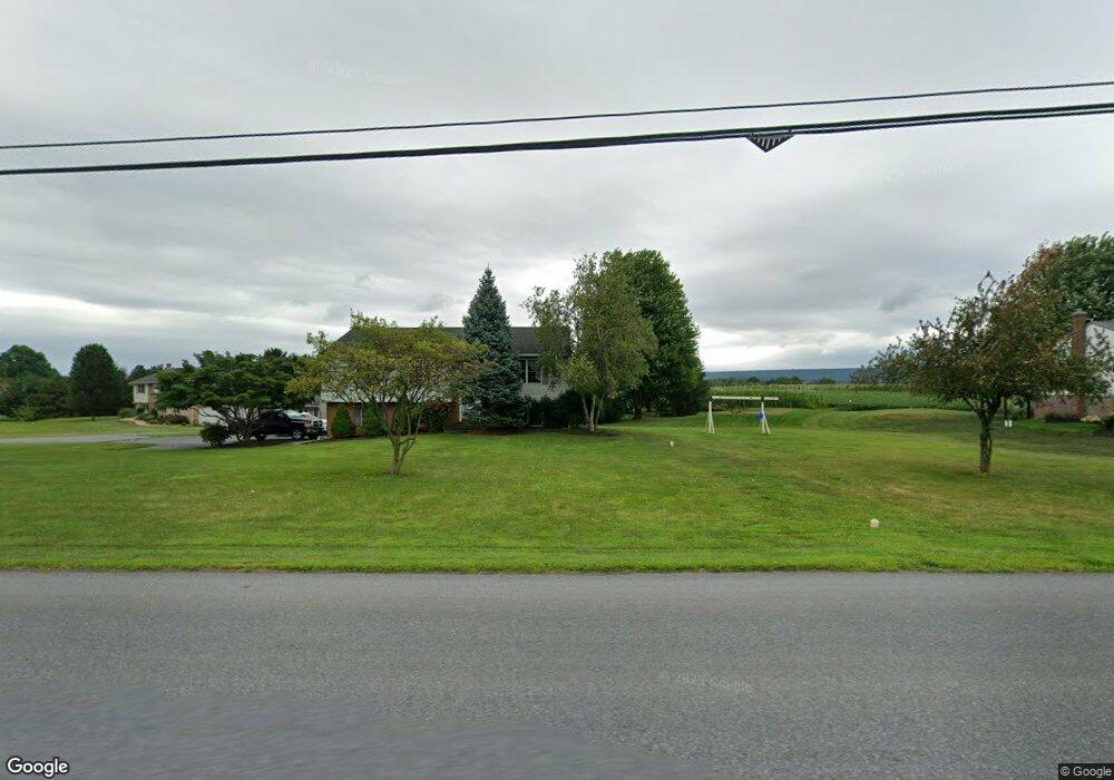
372 Reading Rd East Earl, PA 17519
Estimated Value: $407,222 - $471,000
4
Beds
2
Baths
1,636
Sq Ft
$269/Sq Ft
Est. Value
About This Home
This home is located at 372 Reading Rd, East Earl, PA 17519 and is currently estimated at $440,306, approximately $269 per square foot. 372 Reading Rd is a home located in Lancaster County with nearby schools including Garden Spot Middle School, Garden Spot Senior High School, and Shalom Mennonite School.
Ownership History
Date
Name
Owned For
Owner Type
Purchase Details
Closed on
Aug 5, 2005
Sold by
Walsh Neal F and Walsh Paula S
Bought by
Weaver Melvin H and Weaver Betty J
Current Estimated Value
Home Financials for this Owner
Home Financials are based on the most recent Mortgage that was taken out on this home.
Original Mortgage
$194,320
Outstanding Balance
$101,290
Interest Rate
5.54%
Mortgage Type
Fannie Mae Freddie Mac
Estimated Equity
$339,016
Create a Home Valuation Report for This Property
The Home Valuation Report is an in-depth analysis detailing your home's value as well as a comparison with similar homes in the area
Home Values in the Area
Average Home Value in this Area
Purchase History
| Date | Buyer | Sale Price | Title Company |
|---|---|---|---|
| Weaver Melvin H | $242,900 | -- |
Source: Public Records
Mortgage History
| Date | Status | Borrower | Loan Amount |
|---|---|---|---|
| Open | Weaver Melvin H | $194,320 |
Source: Public Records
Tax History Compared to Growth
Tax History
| Year | Tax Paid | Tax Assessment Tax Assessment Total Assessment is a certain percentage of the fair market value that is determined by local assessors to be the total taxable value of land and additions on the property. | Land | Improvement |
|---|---|---|---|---|
| 2025 | $4,295 | $239,800 | $67,800 | $172,000 |
| 2024 | $4,295 | $239,800 | $67,800 | $172,000 |
| 2023 | $4,233 | $239,800 | $67,800 | $172,000 |
| 2022 | $4,187 | $239,800 | $67,800 | $172,000 |
| 2021 | $4,120 | $239,800 | $67,800 | $172,000 |
| 2020 | $4,120 | $239,800 | $67,800 | $172,000 |
| 2019 | $3,984 | $234,400 | $67,800 | $166,600 |
| 2018 | $5,678 | $234,400 | $67,800 | $166,600 |
| 2017 | $3,180 | $152,700 | $40,500 | $112,200 |
| 2016 | $3,180 | $152,700 | $40,500 | $112,200 |
| 2015 | $883 | $152,700 | $40,500 | $112,200 |
| 2014 | $2,136 | $152,700 | $40,500 | $112,200 |
Source: Public Records
Map
Nearby Homes
- 1487 Ironstone Dr
- 1328 Union Grove Rd
- 302 E Main St
- 103 Lynwood Dr
- 412 Linden St
- 420 Linden St
- 208 New St
- 303 W Main St
- 105 Carriage Way Unit 2 LOT
- 1923 Barnett St
- 133 Millstone Dr
- 111 Oatfield Dr
- 1276 Martin St
- 28 Hearth Dr
- 602 Greenview Dr
- 534 High Point Dr
- 1215 Shetland Cir
- 1220 Shetland Cir
- 529 Ranck Rd Unit 6
- 529 Ranck Rd Unit 10
- 370 Reading Rd
- 366 Reading Rd
- 374 Reading Rd
- 376 Reading Rd
- 1442 Hay Field Dr
- 1436 Hay Field Dr
- 1430 Hay Field Dr
- 1424 Hay Field Dr
- 1437 Hay Field Dr
- 1441 Hay Field Dr
- 1425 Hay Field Dr
- 387 Reading Rd
- 1431 Hay Field Dr
- 391 Reading Rd
- 396 Reading Rd
- 1483 Ironstone Dr
- 1479 Ironstone Dr
- 1480 Ironstone Dr
- 1421 Union Grove Rd
- 333 Reading Rd