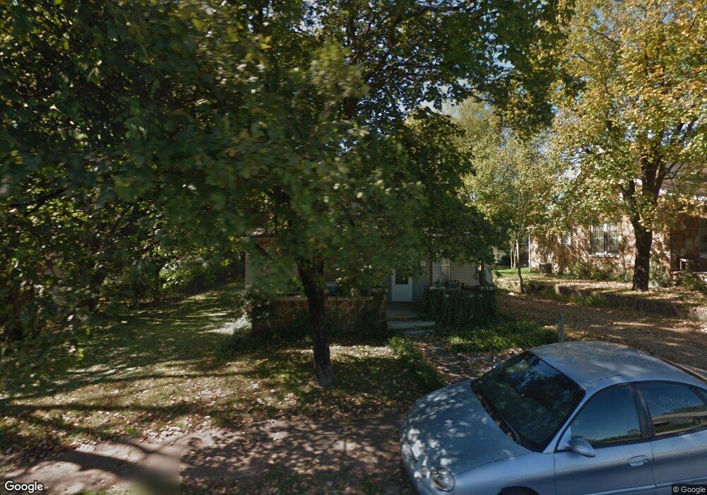
372 S Broad St Batesville, AR 72501
Estimated Value: $70,811 - $115,000
--
Bed
1
Bath
1,230
Sq Ft
$73/Sq Ft
Est. Value
About This Home
This home is located at 372 S Broad St, Batesville, AR 72501 and is currently estimated at $89,703, approximately $72 per square foot. 372 S Broad St is a home located in Independence County with nearby schools including Batesville Junior High School, Batesville High School, and Hope Lutheran School.
Ownership History
Date
Name
Owned For
Owner Type
Purchase Details
Closed on
Jun 30, 2020
Sold by
Tripp Garden Property Llc
Bought by
Kerry
Current Estimated Value
Purchase Details
Closed on
Mar 22, 2007
Bought by
Tripp Family Trust
Purchase Details
Closed on
May 24, 2006
Sold by
First Community Bank Ttee
Bought by
Tripp Howard and Tripp Tommie Lvg
Purchase Details
Closed on
Oct 19, 2001
Bought by
Tripp Howard J and Tripp Tommie S
Create a Home Valuation Report for This Property
The Home Valuation Report is an in-depth analysis detailing your home's value as well as a comparison with similar homes in the area
Home Values in the Area
Average Home Value in this Area
Purchase History
| Date | Buyer | Sale Price | Title Company |
|---|---|---|---|
| Kerry | -- | None Available | |
| Tripp Family Trust | -- | -- | |
| Tripp Howard | -- | -- | |
| Tripp, Howard & Tommie Lvg Trust | -- | -- | |
| Tripp Howard J | -- | -- |
Source: Public Records
Tax History Compared to Growth
Tax History
| Year | Tax Paid | Tax Assessment Tax Assessment Total Assessment is a certain percentage of the fair market value that is determined by local assessors to be the total taxable value of land and additions on the property. | Land | Improvement |
|---|---|---|---|---|
| 2024 | $568 | $10,640 | $2,400 | $8,240 |
| 2023 | $568 | $10,640 | $2,400 | $8,240 |
| 2022 | $568 | $10,640 | $2,400 | $8,240 |
| 2021 | $568 | $10,640 | $2,400 | $8,240 |
| 2020 | $568 | $10,640 | $2,400 | $8,240 |
| 2019 | $528 | $9,900 | $1,920 | $7,980 |
| 2018 | $528 | $9,900 | $1,920 | $7,980 |
| 2017 | $522 | $9,900 | $1,920 | $7,980 |
| 2016 | $522 | $9,900 | $1,920 | $7,980 |
| 2015 | $513 | $9,900 | $1,920 | $7,980 |
| 2014 | $469 | $8,900 | $1,200 | $7,700 |
Source: Public Records
Map
Nearby Homes
- 411 S Central Ave
- 292 E Boswell St
- 181 S Central Ave
- 476 E Boswell St
- 551 E Boswell St
- 781 E Main St
- 909 E Boswell St
- 253 N 8th St
- 515 Elsie St
- 928 E Main St
- 1423 Bates St
- 784 Brooks St
- 814 Bayou St
- 1550 Byers St
- 1520 N Central Ave
- 2050 Neeley St
- 2125 Duffer Ln
- 405 Hawkins St
- 490 Gregg Dr
- 380 22nd St
- 360 S Broad
- 384 Broad St
- 370 S Broad St
- 384 Broad 1o9erh434dl4
- 398 S Broad St
- 365 Broad & 375 St
- 426 River St
- 162 Fowler St
- 404 S Broad St
- 427 River St
- 411 S Broad St
- 330 S Broad St
- 446 River St
- 421 S Central Ave
- 447 S Central Ave
- 404 Bates St
- 437 S Broad St
- 406 S Broad St
- 469 S Central Ave
- 406 S Broad 1o9erh434dl4