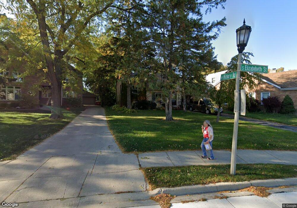
372 S Elizabeth St Lombard, IL 60148
North Lombard NeighborhoodEstimated Value: $287,403 - $417,000
--
Bed
--
Bath
1,443
Sq Ft
$248/Sq Ft
Est. Value
About This Home
This home is located at 372 S Elizabeth St, Lombard, IL 60148 and is currently estimated at $358,101, approximately $248 per square foot. 372 S Elizabeth St is a home located in DuPage County with nearby schools including Madison Elementary School, Wm Hammerschmidt Elementary School, and Park View Elementary School.
Ownership History
Date
Name
Owned For
Owner Type
Purchase Details
Closed on
Nov 25, 2009
Sold by
Deaton W Craig
Bought by
Ritchie Raymond R
Current Estimated Value
Purchase Details
Closed on
Apr 16, 2003
Sold by
Rhodes Kevin C and Rhodes Kathryn
Bought by
Deaton W Craig
Purchase Details
Closed on
Nov 22, 2000
Sold by
Rhodes Dorothy
Bought by
Rhodes Dorothy and Dorothy Rhodes Revocable Trust
Create a Home Valuation Report for This Property
The Home Valuation Report is an in-depth analysis detailing your home's value as well as a comparison with similar homes in the area
Home Values in the Area
Average Home Value in this Area
Purchase History
| Date | Buyer | Sale Price | Title Company |
|---|---|---|---|
| Ritchie Raymond R | $159,500 | Ticor | |
| Deaton W Craig | $157,000 | Ticor | |
| Rhodes Dorothy | -- | -- |
Source: Public Records
Tax History Compared to Growth
Tax History
| Year | Tax Paid | Tax Assessment Tax Assessment Total Assessment is a certain percentage of the fair market value that is determined by local assessors to be the total taxable value of land and additions on the property. | Land | Improvement |
|---|---|---|---|---|
| 2024 | $3,666 | $78,391 | $24,775 | $53,616 |
| 2023 | $3,794 | $72,490 | $22,910 | $49,580 |
| 2022 | $4,164 | $69,680 | $22,020 | $47,660 |
| 2021 | $4,143 | $67,940 | $21,470 | $46,470 |
| 2020 | $4,413 | $66,450 | $21,000 | $45,450 |
| 2019 | $4,163 | $63,180 | $19,970 | $43,210 |
| 2018 | $4,762 | $63,370 | $27,010 | $36,360 |
| 2017 | $4,619 | $60,390 | $25,740 | $34,650 |
| 2016 | $4,483 | $56,890 | $24,250 | $32,640 |
| 2015 | $4,222 | $53,000 | $22,590 | $30,410 |
| 2014 | $3,385 | $42,580 | $28,120 | $14,460 |
| 2013 | $3,337 | $43,180 | $28,520 | $14,660 |
Source: Public Records
Map
Nearby Homes
- 407 S Brewster Ave
- 465 S Elizabeth St
- 250 St Regis
- 408 S Miller Ct
- 575 S Finley Rd
- 1 S Lincoln Ave Unit 301
- 121 W Park Dr
- 23 N West Rd
- 635 S Finley Rd
- 6 W Harding Rd
- 25 E Parkside Ave
- 78 N Elizabeth St
- 635 S Charlotte St
- 49 Orchard Terrace Unit 1
- 107 S Charlotte St
- 610 Hammerschmidt Ave
- 33 N Main St Unit 11A
- 564 W Harrison Rd
- 555 W Saint Charles Rd
- 105 E Grove St
- 366 S Elizabeth St
- 376 S Elizabeth St
- 380 S Elizabeth St
- 354 S Elizabeth St
- 350 S Elizabeth St
- 384 S Elizabeth St
- 255 W Hickory Rd
- 248 W Hickory Rd
- 342 S Elizabeth St
- 337 S Brewster Ave
- 390 S Elizabeth St
- 325 S Brewster Ave
- 399 S Elizabeth St
- 343 S Brewster Ave
- 351 S Elizabeth St
- 349 S Brewster Ave
- 242 W Hickory Rd
- 334 S Elizabeth St
- 315 S Brewster Ave
- 251 W Hickory Rd