372 SE 3rd St Pilot Rock, OR 97868
Estimated Value: $286,000 - $371,000
3
Beds
2
Baths
3,363
Sq Ft
$94/Sq Ft
Est. Value
About This Home
This home is located at 372 SE 3rd St, Pilot Rock, OR 97868 and is currently estimated at $314,755, approximately $93 per square foot. 372 SE 3rd St is a home with nearby schools including Pilot Rock Elementary School and Pilot Rock High School.
Ownership History
Date
Name
Owned For
Owner Type
Purchase Details
Closed on
Jun 6, 2018
Sold by
Rigby Megan L and Rigby Vardan A
Bought by
Warner Michael J
Current Estimated Value
Home Financials for this Owner
Home Financials are based on the most recent Mortgage that was taken out on this home.
Original Mortgage
$208,160
Outstanding Balance
$179,494
Interest Rate
4.37%
Mortgage Type
FHA
Estimated Equity
$135,261
Purchase Details
Closed on
Sep 24, 2014
Sold by
Rowe Richard L and Rowe Misty D
Bought by
Rigby Vardan A and Rigby Megan L
Home Financials for this Owner
Home Financials are based on the most recent Mortgage that was taken out on this home.
Original Mortgage
$148,800
Interest Rate
3.19%
Mortgage Type
New Conventional
Create a Home Valuation Report for This Property
The Home Valuation Report is an in-depth analysis detailing your home's value as well as a comparison with similar homes in the area
Home Values in the Area
Average Home Value in this Area
Purchase History
| Date | Buyer | Sale Price | Title Company |
|---|---|---|---|
| Warner Michael J | $212,000 | Amerititle | |
| Rigby Vardan A | $186,000 | Amerititle |
Source: Public Records
Mortgage History
| Date | Status | Borrower | Loan Amount |
|---|---|---|---|
| Open | Warner Michael J | $208,160 | |
| Previous Owner | Rigby Vardan A | $148,800 |
Source: Public Records
Tax History Compared to Growth
Tax History
| Year | Tax Paid | Tax Assessment Tax Assessment Total Assessment is a certain percentage of the fair market value that is determined by local assessors to be the total taxable value of land and additions on the property. | Land | Improvement |
|---|---|---|---|---|
| 2024 | $2,349 | $136,080 | $38,690 | $97,390 |
| 2023 | $2,301 | $132,120 | $37,560 | $94,560 |
| 2022 | $2,186 | $128,280 | $0 | $0 |
| 2021 | $2,193 | $124,550 | $35,400 | $89,150 |
| 2020 | $1,996 | $120,930 | $34,360 | $86,570 |
| 2018 | $2,120 | $132,610 | $32,380 | $100,230 |
| 2017 | $2,126 | $128,750 | $31,440 | $97,310 |
| 2016 | $2,075 | $125,000 | $30,520 | $94,480 |
| 2015 | $2,039 | $114,400 | $27,920 | $86,480 |
| 2014 | $1,973 | $114,400 | $27,920 | $86,480 |
Source: Public Records
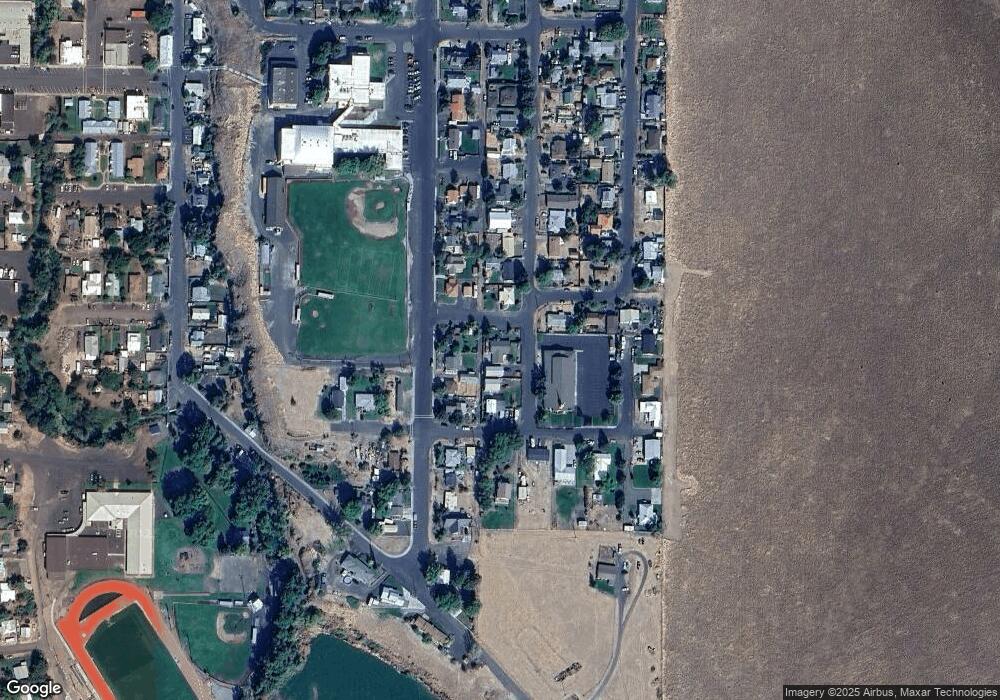
Map
Nearby Homes
- 520 NE 4th St
- 237 SW 2nd St
- 559 SW Cedar St
- 44743 McKay Creek Rd
- 63615 E Birch Creek Ed
- 000 Motanic Rd
- 70741 SW Douglas Dr
- 71251 Appaloosa Ln
- 0000 County 1031 Rd
- 72062 Westfield Blvd
- 1524 SW 44th St
- 0 Mckay Dr
- 1511 SW 41st St
- 71594 Angus Ave
- 1911 SW 3rd St
- 1437 SW 40th St
- 1415 SW 44th St
- 1908 SW 2nd Dr
- 1437 SW 37th St Unit 43
- 1837 SW Athens Ave
- 334 SE Cherry St
- 369 SE 4th St
- 381 SE 3rd St
- 318 SE Cherry St
- 364 SE Cherry St
- 426 SE 3rd St
- 288 SE Cherry St
- 335 SE 4th Ave
- 265 SE Douglas St
- 264 SE Cherry St
- 427 SE 3rd Ave
- 373 SE Cherry St
- 456 SE 3rd St
- 247 SE Douglas St
- 264 SE Douglas St
- 248 SE Cherry St
- 418 SE Cherry St
- 465 SE 3rd St
- 219 SE Douglas St
- 236 SE Cherry St