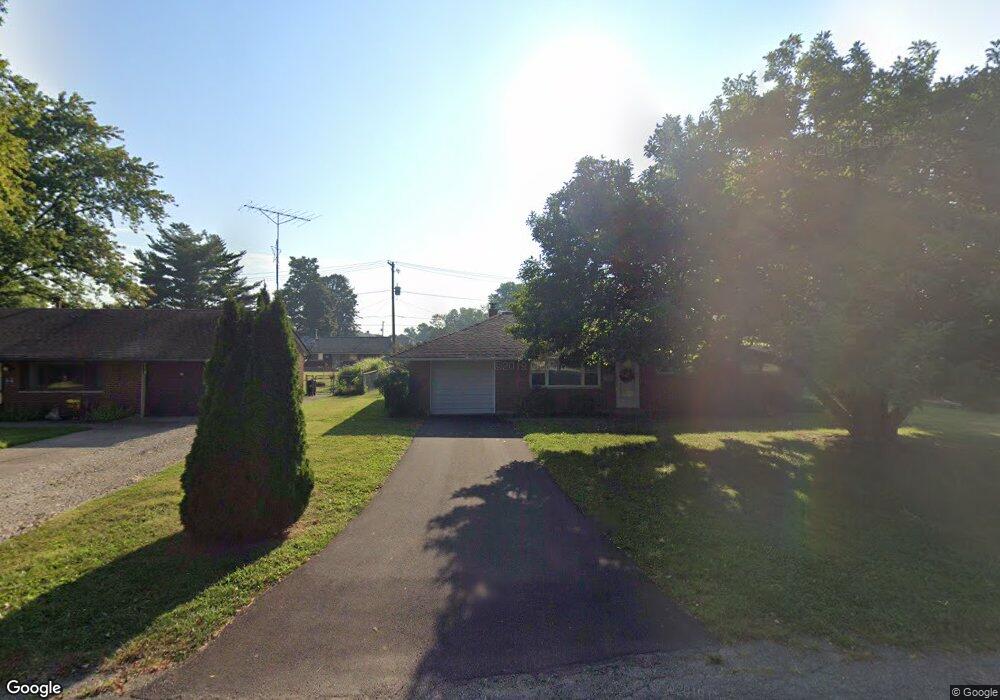
372 Sherwood Dr W Newark, OH 43055
Estimated Value: $182,000 - $216,965
3
Beds
1
Bath
1,040
Sq Ft
$197/Sq Ft
Est. Value
About This Home
This home is located at 372 Sherwood Dr W, Newark, OH 43055 and is currently estimated at $204,741, approximately $196 per square foot. 372 Sherwood Dr W is a home located in Licking County with nearby schools including John Clem Elementary School, Liberty Middle School, and Newark High School.
Ownership History
Date
Name
Owned For
Owner Type
Purchase Details
Closed on
Jan 17, 2019
Sold by
Jhdh Llc
Bought by
Dehmann Amy L
Current Estimated Value
Purchase Details
Closed on
Sep 12, 2012
Sold by
Hollingshead John E and Hollingshead Dorothy L
Bought by
Jhdh Llc
Purchase Details
Closed on
Jul 13, 2006
Sold by
Hollingshead John E and Hollingshead Dorothy L
Bought by
Hollingshead Dorothy L and Hollingshead John E
Create a Home Valuation Report for This Property
The Home Valuation Report is an in-depth analysis detailing your home's value as well as a comparison with similar homes in the area
Home Values in the Area
Average Home Value in this Area
Purchase History
| Date | Buyer | Sale Price | Title Company |
|---|---|---|---|
| Dehmann Amy L | $64,200 | None Available | |
| Jhdh Llc | -- | None Available | |
| Hollingshead Dorothy L | -- | None Available |
Source: Public Records
Tax History Compared to Growth
Tax History
| Year | Tax Paid | Tax Assessment Tax Assessment Total Assessment is a certain percentage of the fair market value that is determined by local assessors to be the total taxable value of land and additions on the property. | Land | Improvement |
|---|---|---|---|---|
| 2024 | $2,036 | $56,950 | $18,410 | $38,540 |
| 2023 | $2,033 | $56,950 | $18,410 | $38,540 |
| 2022 | $1,480 | $36,860 | $10,330 | $26,530 |
| 2021 | $1,552 | $36,860 | $10,330 | $26,530 |
| 2020 | $1,587 | $36,860 | $10,330 | $26,530 |
| 2019 | $1,332 | $29,020 | $8,610 | $20,410 |
| 2018 | $1,333 | $0 | $0 | $0 |
| 2017 | $1,277 | $0 | $0 | $0 |
| 2016 | $1,132 | $0 | $0 | $0 |
| 2015 | $578 | $0 | $0 | $0 |
| 2014 | $567 | $0 | $0 | $0 |
| 2013 | $1,155 | $0 | $0 | $0 |
Source: Public Records
Map
Nearby Homes
- 425 N 11th St
- 333 N 10th St
- 355 Eddy St
- 408 Granville St
- 361 Granville St
- 383 Central Ave
- 64 N 10th St
- 218 Granville St
- 467 Mount Vernon Rd
- 533 Leslie Dr
- 188 Meadow Dr
- 184 Meadow Dr
- 69 Wallace St
- 403 Meadowbrook Dr
- 542 Mount Vernon Rd
- 251 Merchant St
- 370 Meadowbrook Dr
- 247 Buckingham St
- 27 W North St
- 227 N Quentin Rd
- 366 Sherwood Dr W
- 384 Sherwood Dr W
- 373 Mellars Ln
- 365 Mellars Ln
- 385 Mellars Ln
- 360 Sherwood Dr W
- 392 Sherwood Dr W
- 373 Sherwood Dr W
- 365 Sherwood Dr W
- 385 Sherwood Dr W
- 361 Mellars Ln
- 361 Sherwood Dr W
- 393 Sherwood Dr W
- 393 Sherwood Dr W
- 404 Sherwood Dr W
- 372 Mellars Ln
- 384 Mellars Ln
- 366 Mellars Ln
- 405 Mellars Ln
- 360 Mellars Ln