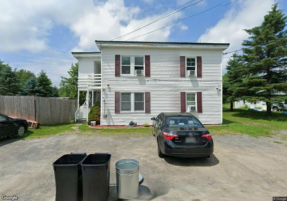
372 Spring Rd Augusta, ME 04330
Estimated Value: $216,637 - $278,000
5
Beds
2
Baths
1,848
Sq Ft
$128/Sq Ft
Est. Value
About This Home
This home is located at 372 Spring Rd, Augusta, ME 04330 and is currently estimated at $236,409, approximately $127 per square foot. 372 Spring Rd is a home located in Kennebec County with nearby schools including Cony Middle School, Cony School, and Maine Virtual Academy.
Ownership History
Date
Name
Owned For
Owner Type
Purchase Details
Closed on
Nov 13, 2013
Sold by
Midfirst Bank
Bought by
Department Of Housing & Urban Dev
Current Estimated Value
Purchase Details
Closed on
Mar 11, 2005
Sold by
Post Kristen C and Post Shanon H
Bought by
Caron Amishia and Steward Justin
Home Financials for this Owner
Home Financials are based on the most recent Mortgage that was taken out on this home.
Original Mortgage
$72,562
Interest Rate
5.64%
Mortgage Type
Purchase Money Mortgage
Create a Home Valuation Report for This Property
The Home Valuation Report is an in-depth analysis detailing your home's value as well as a comparison with similar homes in the area
Home Values in the Area
Average Home Value in this Area
Purchase History
| Date | Buyer | Sale Price | Title Company |
|---|---|---|---|
| Department Of Housing & Urban Dev | -- | -- | |
| Department Of Housing & Urban Dev | -- | -- | |
| Caron Amishia | -- | -- | |
| Caron Amishia | -- | -- | |
| Caron Amishia | -- | -- |
Source: Public Records
Mortgage History
| Date | Status | Borrower | Loan Amount |
|---|---|---|---|
| Previous Owner | Caron Amishia | $72,562 | |
| Previous Owner | Caron Amishia | $18,141 |
Source: Public Records
Tax History
| Year | Tax Paid | Tax Assessment Tax Assessment Total Assessment is a certain percentage of the fair market value that is determined by local assessors to be the total taxable value of land and additions on the property. | Land | Improvement |
|---|---|---|---|---|
| 2025 | $2,447 | $100,300 | $28,200 | $72,100 |
| 2024 | $2,387 | $100,300 | $28,200 | $72,100 |
| 2023 | $2,303 | $100,300 | $28,200 | $72,100 |
| 2022 | $2,199 | $100,300 | $28,200 | $72,100 |
| 2021 | $2,100 | $100,300 | $28,200 | $72,100 |
| 2020 | $2,100 | $100,300 | $28,200 | $72,100 |
| 2019 | $2,103 | $100,300 | $28,200 | $72,100 |
| 2018 | $2,074 | $100,300 | $28,200 | $72,100 |
| 2017 | $2,044 | $100,300 | $28,200 | $72,100 |
| 2016 | $1,985 | $100,300 | $28,200 | $72,100 |
| 2015 | $1,946 | $100,300 | $28,200 | $72,100 |
| 2014 | $1,770 | $94,800 | $28,200 | $66,600 |
Source: Public Records
Map
Nearby Homes
- 729 Eastern Ave
- 638 Eastern Ave
- 138 Spring Rd
- Lot 17 Allenwood Park Rd
- 10 Old Thomaston Rd
- Lot 254 Eastern Ave
- M10, L71 Logan Ridge Rd
- 166 Leavitt Rd
- 6 Spring Rd
- 11 Pleasant Hill Rd
- 7 Frog Holler Ln
- Lot 17 Cony Rd
- 1105 S Belfast Ave
- 29 Village Cir Unit 1
- 29 Village Cir Unit 2
- 112 Fieldstone Dr
- 78 Fieldstone Dr
- 116 Fieldstone Dr
- 18 Abenaki Rd
- 15 Fieldstone Dr
Your Personal Tour Guide
Ask me questions while you tour the home.