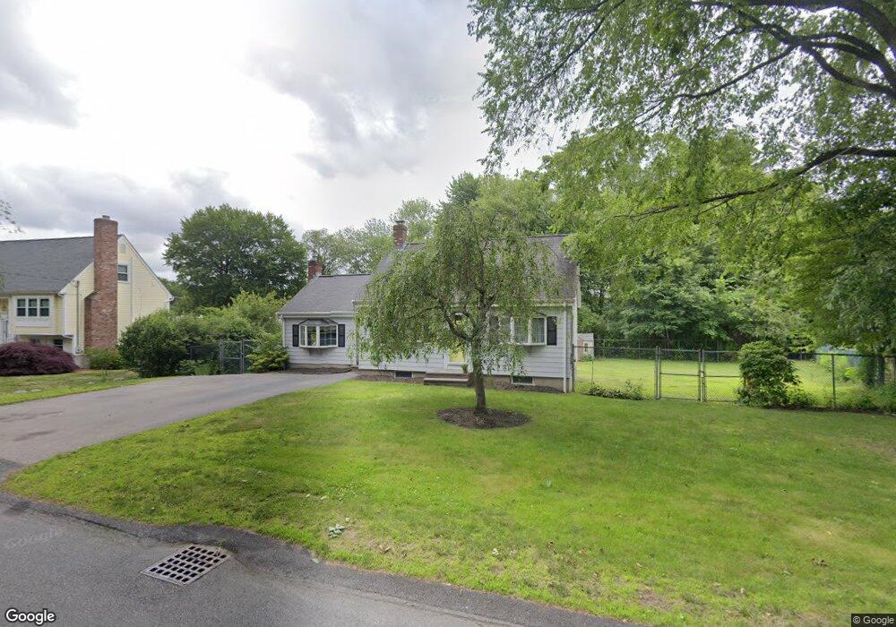
372 Sumner St Norwood, MA 02062
South Norwood NeighborhoodEstimated Value: $623,075 - $772,000
3
Beds
2
Baths
1,147
Sq Ft
$630/Sq Ft
Est. Value
About This Home
This home is located at 372 Sumner St, Norwood, MA 02062 and is currently estimated at $722,769, approximately $630 per square foot. 372 Sumner St is a home located in Norfolk County with nearby schools including Norwood High School and Norwood Montessori School.
Ownership History
Date
Name
Owned For
Owner Type
Purchase Details
Closed on
Mar 22, 2012
Sold by
Pudsey Donald J and Pudsey Mary E
Bought by
2012 Pudsey Ft and Pudsey Donald J
Current Estimated Value
Purchase Details
Closed on
Feb 3, 1964
Bought by
Pudsey Donald J
Create a Home Valuation Report for This Property
The Home Valuation Report is an in-depth analysis detailing your home's value as well as a comparison with similar homes in the area
Home Values in the Area
Average Home Value in this Area
Purchase History
| Date | Buyer | Sale Price | Title Company |
|---|---|---|---|
| 2012 Pudsey Ft | -- | -- | |
| Pudsey Donald J | $13,000 | -- |
Source: Public Records
Mortgage History
| Date | Status | Borrower | Loan Amount |
|---|---|---|---|
| Previous Owner | Pudsey Donald J | $30,000 |
Source: Public Records
Tax History
| Year | Tax Paid | Tax Assessment Tax Assessment Total Assessment is a certain percentage of the fair market value that is determined by local assessors to be the total taxable value of land and additions on the property. | Land | Improvement |
|---|---|---|---|---|
| 2025 | $64 | $608,400 | $336,800 | $271,600 |
| 2024 | $6,377 | $609,100 | $336,800 | $272,300 |
| 2023 | $5,599 | $542,500 | $278,200 | $264,300 |
| 2022 | $5,498 | $511,400 | $252,900 | $258,500 |
| 2021 | $5,162 | $455,200 | $243,700 | $211,500 |
| 2020 | $5,000 | $448,400 | $241,600 | $206,800 |
| 2019 | $4,572 | $419,800 | $234,200 | $185,600 |
| 2018 | $4,519 | $407,500 | $234,700 | $172,800 |
| 2017 | $4,362 | $391,200 | $234,700 | $156,500 |
| 2016 | $4,229 | $380,300 | $234,700 | $145,600 |
| 2015 | $4,068 | $354,700 | $213,300 | $141,400 |
| 2014 | $3,916 | $338,200 | $201,500 | $136,700 |
Source: Public Records
Map
Nearby Homes
- 7 Cape Club Dr Unit 9
- 38 Cape Club Dr Unit 38
- 40 Cape Club Dr Unit 40
- 51-U:37 Cape Club Dr
- 0 Charlotte Rd
- Unit 11 Powder House Ln Unit 11
- 8 Powder House Ln Unit 2
- Unit 12 Powder House Ln Unit 12
- Unit 3 Powder House Ln Unit 3
- 33 Sumner St
- 120 Polley Ln
- 47 Orchard Hill Dr
- 7 Washington Green
- 40 Endean Dr
- 6 Orchard Dr
- 0 Quail Run
- 363 - 367 Washington St
- 0 Deerfield Rd
- 26 Saint Josephs Ave
- 3 York Cir
Your Personal Tour Guide
Ask me questions while you tour the home.