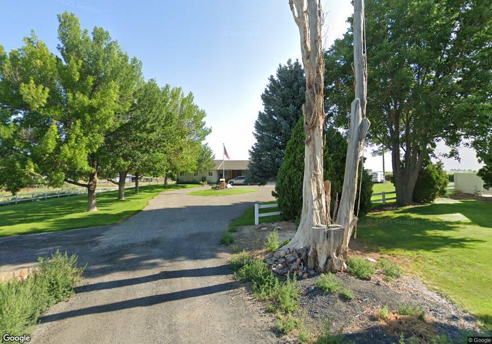
3720 N 2710 E Twin Falls, ID 83301
Estimated Value: $604,000 - $724,000
6
Beds
4
Baths
3,000
Sq Ft
$220/Sq Ft
Est. Value
About This Home
This home is located at 3720 N 2710 E, Twin Falls, ID 83301 and is currently estimated at $661,348, approximately $220 per square foot. 3720 N 2710 E is a home located in Twin Falls County with nearby schools including Lincoln Elementary School, South Hills Middle School, and Canyon Ridge High School.
Ownership History
Date
Name
Owned For
Owner Type
Purchase Details
Closed on
Jun 18, 2010
Sold by
Whintey Linda C
Bought by
Whitney Linda C and Linda C Whitney Family Protection Trust
Current Estimated Value
Purchase Details
Closed on
Mar 6, 2008
Sold by
Whitney Linda C
Bought by
Whitney Linda C
Purchase Details
Closed on
Sep 13, 2007
Sold by
Wright Wayne and Wright Joanne
Bought by
Whitney Linda C and Linda C Whitney Protection Family Trust
Create a Home Valuation Report for This Property
The Home Valuation Report is an in-depth analysis detailing your home's value as well as a comparison with similar homes in the area
Purchase History
| Date | Buyer | Sale Price | Title Company |
|---|---|---|---|
| Whitney Linda C | -- | -- | |
| Whitney Linda C | -- | Alliance Title | |
| Whitney Linda C | -- | Title Fact Inc |
Source: Public Records
Tax History
| Year | Tax Paid | Tax Assessment Tax Assessment Total Assessment is a certain percentage of the fair market value that is determined by local assessors to be the total taxable value of land and additions on the property. | Land | Improvement |
|---|---|---|---|---|
| 2025 | $2,174 | $487,741 | $149,700 | $338,041 |
| 2024 | $2,224 | $492,523 | $149,700 | $342,823 |
| 2023 | $2,176 | $519,144 | $149,700 | $369,444 |
| 2022 | $2,760 | $488,635 | $91,563 | $397,072 |
| 2021 | $2,581 | $382,580 | $77,740 | $304,840 |
| 2020 | $2,105 | $286,425 | $64,286 | $222,139 |
| 2019 | $2,022 | $266,324 | $47,988 | $218,336 |
| 2018 | $2,441 | $290,433 | $52,787 | $237,646 |
| 2017 | $2,036 | $259,117 | $52,787 | $206,330 |
| 2016 | $1,541 | $207,704 | $0 | $0 |
| 2015 | $1,597 | $207,704 | $47,988 | $159,716 |
| 2012 | -- | $148,874 | $0 | $0 |
Source: Public Records
Map
Nearby Homes
- TBD 3700 N
- 640 Orchard Dr W
- 3648 N 2800 E
- 492 Orchard Dr W
- 3778 N 2555 E
- 1285 Golden Pheasant Dr
- 1646 Harris Way
- 1656 Harris Way
- 1666 Harris Way
- 1597 Kenyon Meadow St
- 575 Upland Ave
- 571 Brads Place
- 585 Upland Ave
- 545 Upland Ave
- 565 Brads Place
- 559 Brads Place Unit Lot 13, Block 2
- 553 Brads Place
- 2545 E 3753
- 407 Southwood Ave W
- 541 Brads Place
Your Personal Tour Guide
Ask me questions while you tour the home.