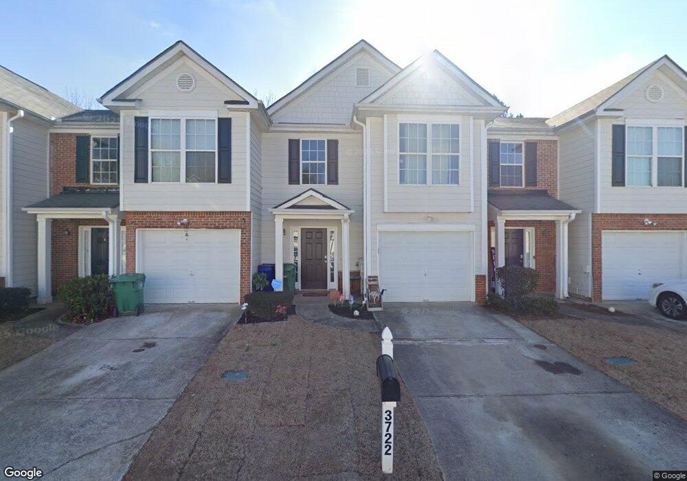
3722 Harvest Dr Unit 3722 Decatur, GA 30034
Southwest DeKalb NeighborhoodEstimated Value: $204,943 - $217,000
2
Beds
3
Baths
1,457
Sq Ft
$146/Sq Ft
Est. Value
About This Home
This home is located at 3722 Harvest Dr Unit 3722, Decatur, GA 30034 and is currently estimated at $212,986, approximately $146 per square foot. 3722 Harvest Dr Unit 3722 is a home located in DeKalb County with nearby schools including Bob Mathis Elementary School, Chapel Hill Middle School, and Southwest Dekalb High School.
Ownership History
Date
Name
Owned For
Owner Type
Purchase Details
Closed on
Sep 26, 2008
Sold by
Suntrust Bk
Bought by
Starks Tamara D
Current Estimated Value
Home Financials for this Owner
Home Financials are based on the most recent Mortgage that was taken out on this home.
Original Mortgage
$97,967
Outstanding Balance
$64,661
Interest Rate
6.36%
Mortgage Type
FHA
Estimated Equity
$148,325
Purchase Details
Closed on
Jun 3, 2008
Sold by
Greenwood Homes Inc
Bought by
Suntrust Bank
Create a Home Valuation Report for This Property
The Home Valuation Report is an in-depth analysis detailing your home's value as well as a comparison with similar homes in the area
Home Values in the Area
Average Home Value in this Area
Purchase History
| Date | Buyer | Sale Price | Title Company |
|---|---|---|---|
| Starks Tamara D | $98,500 | -- | |
| Suntrust Bank | $96,000 | -- |
Source: Public Records
Mortgage History
| Date | Status | Borrower | Loan Amount |
|---|---|---|---|
| Open | Starks Tamara D | $97,967 |
Source: Public Records
Tax History Compared to Growth
Tax History
| Year | Tax Paid | Tax Assessment Tax Assessment Total Assessment is a certain percentage of the fair market value that is determined by local assessors to be the total taxable value of land and additions on the property. | Land | Improvement |
|---|---|---|---|---|
| 2025 | $4,363 | $89,720 | $20,000 | $69,720 |
| 2024 | $4,307 | $88,520 | $20,000 | $68,520 |
| 2023 | $4,307 | $88,200 | $20,000 | $68,200 |
| 2022 | $2,023 | $65,360 | $7,200 | $58,160 |
| 2021 | $1,601 | $48,440 | $7,200 | $41,240 |
| 2020 | $1,539 | $46,520 | $7,200 | $39,320 |
| 2019 | $1,370 | $42,000 | $7,200 | $34,800 |
| 2018 | $937 | $34,920 | $4,800 | $30,120 |
| 2017 | $826 | $25,400 | $4,800 | $20,600 |
| 2016 | $808 | $25,400 | $2,880 | $22,520 |
| 2014 | $407 | $13,520 | $2,880 | $10,640 |
Source: Public Records
Map
Nearby Homes
- 3704 Harvest Dr
- 3702 Harvest Dr Unit 93
- 3700 Harvest Dr
- 3756 Harvest Dr
- 3777 Harvest Dr
- 3826 Brandeis Way
- 3801 Cherry Ridge Blvd
- 3683 Brown Dr
- 3620 Spring Trace
- 3608 Shepherds Path
- 3622 Shepherds Path Unit 3622
- 3515 Shepherds Path
- 3477 Shepherds Path
- 3740 Brown Dr
- 3692 Belmont Abbey Dr
- 3480 Shepherds Path Unit 3480
- 3592 Hancock View
- 3816 Holy Cross Ct
- 3722 Harvest Dr
- 3724 Harvest Dr
- 3720 Harvest Dr Unit 3720
- 3720 Harvest Dr
- 3720 Harvest Dr Unit 84
- 3726 Harvest Dr
- 3718 Harvest Dr
- 3716 Harvest Dr
- 3728 Harvest Dr
- 3714 Harvest Dr Unit 3714
- 3714 Harvest Dr
- 3714 Harvest Dr Unit 87
- 3712 Harvest Dr
- 3730 Harvest Dr
- 3749 Harvest Dr
- 3721 Harvest Dr
- 3732 Harvest Dr
- 3710 Harvest Dr
- 3719 Harvest Dr
- 3717 Harvest Dr