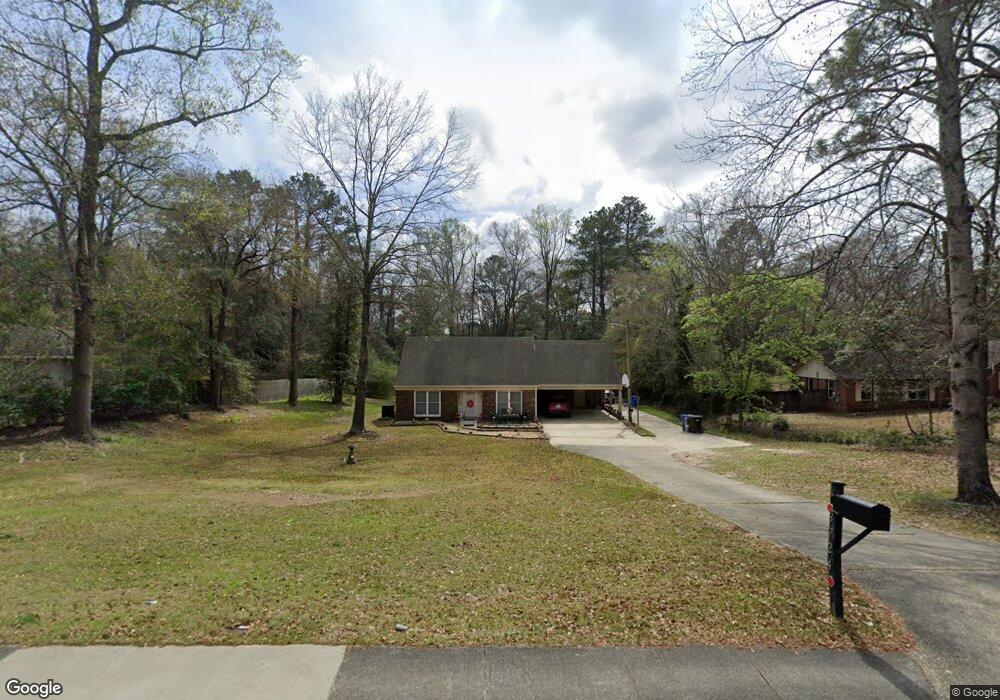
3724 Forrest Rd Columbus, GA 31907
Eastern Columbus NeighborhoodEstimated Value: $169,000 - $216,314
--
Bed
4
Baths
1,628
Sq Ft
$117/Sq Ft
Est. Value
About This Home
This home is located at 3724 Forrest Rd, Columbus, GA 31907 and is currently estimated at $189,829, approximately $116 per square foot. 3724 Forrest Rd is a home located in Muscogee County with nearby schools including Rigdon Road Elementary School, Fort Middle School, and Hardaway High School.
Ownership History
Date
Name
Owned For
Owner Type
Purchase Details
Closed on
Mar 17, 2016
Sold by
Haracourt Homer H
Bought by
Burnham Connie E and Burnham Renee
Current Estimated Value
Home Financials for this Owner
Home Financials are based on the most recent Mortgage that was taken out on this home.
Original Mortgage
$151,300
Outstanding Balance
$119,753
Interest Rate
3.65%
Estimated Equity
$70,076
Create a Home Valuation Report for This Property
The Home Valuation Report is an in-depth analysis detailing your home's value as well as a comparison with similar homes in the area
Home Values in the Area
Average Home Value in this Area
Purchase History
| Date | Buyer | Sale Price | Title Company |
|---|---|---|---|
| Burnham Connie E | $76,300 | -- | |
| Burnham Connie E | $75,000 | -- |
Source: Public Records
Mortgage History
| Date | Status | Borrower | Loan Amount |
|---|---|---|---|
| Open | Burnham Connie E | $151,300 | |
| Closed | Burnham Connie E | $151,300 |
Source: Public Records
Tax History Compared to Growth
Tax History
| Year | Tax Paid | Tax Assessment Tax Assessment Total Assessment is a certain percentage of the fair market value that is determined by local assessors to be the total taxable value of land and additions on the property. | Land | Improvement |
|---|---|---|---|---|
| 2025 | -- | $72,820 | $14,432 | $58,388 |
| 2024 | -- | $72,820 | $14,432 | $58,388 |
| 2023 | $0 | $72,820 | $14,432 | $58,388 |
| 2022 | $0 | $58,824 | $10,872 | $47,952 |
| 2021 | $0 | $60,520 | $10,325 | $50,195 |
| 2020 | $0 | $60,520 | $10,325 | $50,195 |
| 2019 | $2,496 | $60,520 | $10,325 | $50,195 |
| 2018 | $0 | $60,520 | $10,325 | $50,195 |
| 2017 | $0 | $60,520 | $10,325 | $50,195 |
| 2016 | $3,137 | $60,520 | $4,116 | $56,404 |
| 2015 | $3,140 | $76,037 | $4,116 | $71,921 |
| 2014 | $1 | $76,037 | $4,116 | $71,921 |
| 2013 | -- | $76,037 | $4,116 | $71,921 |
Source: Public Records
Map
Nearby Homes
- 2 Kingswood Ct
- 8 Kingswood Ct
- 3800 Woodmont Dr
- 3760 Mulberry Dr
- 3836 Mulberry Dr
- 3875 Mulberry Dr
- 3562 Woodland Dr
- 3560 Woodland Dr
- 1554 Holland Ave
- 4 Clausen Dr
- 1553 Violet Ave
- 2525 Norris Rd Unit 36
- 2525 Norris Rd Unit 73
- 2525 Norris Rd Unit 91
- 4201 Forrest Rd
- 1459 Alta Vista Dr
- 4161 Althea Dr
- 4160 Spirea Dr
- 2608 Juniper Ave
- 8 Primrose Ct
- 3716 Forrest Rd
- 3732 Forrest Rd
- 3706 Forrest Rd
- 2030 Alta Vista Dr
- 2205 Marthas Loop
- 2040 Alta Vista Dr
- 2022 Alta Vista Dr
- 3715 Forrest Rd
- 3750 Forrest Rd
- 2215 Marthas Loop
- 13 Kingswood Ct
- 2206 Marthas Loop
- 2035 Alta Vista Dr
- 2039 Alta Vista Dr
- 14 Kingswood Ct
- 3745 Forrest Rd
- 12 Kingswood Ct
- 15 Kingswood Ct
- 3644 Forrest Rd
- 3643 Forrest Rd