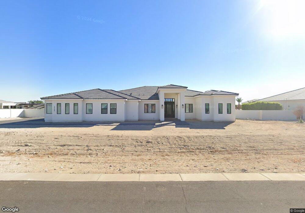
3725 N 201st Dr Buckeye, AZ 85396
Estimated Value: $164,748 - $432,000
--
Bed
--
Bath
--
Sq Ft
1.04
Acres
About This Home
This home is located at 3725 N 201st Dr, Buckeye, AZ 85396 and is currently estimated at $269,937. 3725 N 201st Dr is a home located in Maricopa County with nearby schools including Verrado Elementary School, Verrado Middle School, and Verrado High School.
Ownership History
Date
Name
Owned For
Owner Type
Purchase Details
Closed on
Oct 14, 2021
Sold by
Macias Mario Villaneda and Macias Josefina
Bought by
Macias Mario and Macias Josefina
Current Estimated Value
Purchase Details
Closed on
Aug 16, 2019
Sold by
Sarah Pasq Canyon Llc
Bought by
Macias Mario Villaneda and Macias Josefina
Home Financials for this Owner
Home Financials are based on the most recent Mortgage that was taken out on this home.
Original Mortgage
$78,750
Outstanding Balance
$70,844
Interest Rate
5.12%
Mortgage Type
Adjustable Rate Mortgage/ARM
Estimated Equity
$199,093
Purchase Details
Closed on
Apr 26, 2010
Sold by
Brown T Y Llc
Bought by
Steele Gary D and Steele Kathleen N
Create a Home Valuation Report for This Property
The Home Valuation Report is an in-depth analysis detailing your home's value as well as a comparison with similar homes in the area
Home Values in the Area
Average Home Value in this Area
Purchase History
| Date | Buyer | Sale Price | Title Company |
|---|---|---|---|
| Macias Mario | -- | None Available | |
| Macias Mario Villaneda | $105,000 | Security Title Agency Inc | |
| Steele Gary D | $40,000 | None Available |
Source: Public Records
Mortgage History
| Date | Status | Borrower | Loan Amount |
|---|---|---|---|
| Open | Macias Mario Villaneda | $78,750 |
Source: Public Records
Tax History Compared to Growth
Tax History
| Year | Tax Paid | Tax Assessment Tax Assessment Total Assessment is a certain percentage of the fair market value that is determined by local assessors to be the total taxable value of land and additions on the property. | Land | Improvement |
|---|---|---|---|---|
| 2025 | $5,926 | $9,108 | $9,108 | -- |
| 2024 | $1,144 | $8,674 | $8,674 | -- |
| 2023 | $1,144 | $29,550 | $29,550 | $0 |
| 2022 | $1,095 | $15,780 | $15,780 | $0 |
| 2021 | $1,106 | $15,015 | $15,015 | $0 |
| 2020 | $1,076 | $14,145 | $14,145 | $0 |
| 2019 | $1,088 | $13,185 | $13,185 | $0 |
| 2018 | $972 | $12,195 | $12,195 | $0 |
| 2017 | $922 | $12,090 | $12,090 | $0 |
| 2016 | $857 | $8,940 | $8,940 | $0 |
| 2015 | $883 | $8,832 | $8,832 | $0 |
Source: Public Records
Map
Nearby Homes
- 19911 W Clarendon Ave
- 19975 W Glenrosa Ave
- 19856 W Monterosa St
- 20253 W Glenrosa Ave
- 20261 W Glenrosa Ave
- 20269 W Glenrosa Ave
- 19731 W Amelia Ave
- 3518 N 201st Ln
- 20399 W Springfield St
- 20409 W Thayer St
- 4334 N Pioneer Dr
- 3908 N 197th Ave
- 3746 N Acacia Way
- 20109 W Montecito Ave
- 19835 W Glenrosa Ave
- 19949 W Mulberry Dr
- 19943 W Mulberry Dr
- 20432 W Monarch Ct
- 20274 W Glenrosa Ave
- 20049 W Campbell Ave
- 3719 N 201st Dr
- 20111 W Amelia Ave Unit 175
- 20105 W Amelia Ave Unit 176
- 20105 W Amelia Ave
- 3724 N Briere Ct
- 20027 W Amelia Ave
- 3726 N 201st Dr
- 20117 W Amelia Ave
- 3720 N 201st Dr Unit 184
- 3720 N 201st Dr
- 20021 W Amelia Ave
- 3712 N Briere Ct
- 20123 W Amelia Ave Unit 173
- 20123 W Amelia Ave
- 3707 N 201st Dr
- 3710 N 201st Dr Unit 182
- 20114 W Amelia Ave Unit 162
- 20114 W Amelia Ave
- 3721 N Briere Ct
- 20015 W Amelia Ave