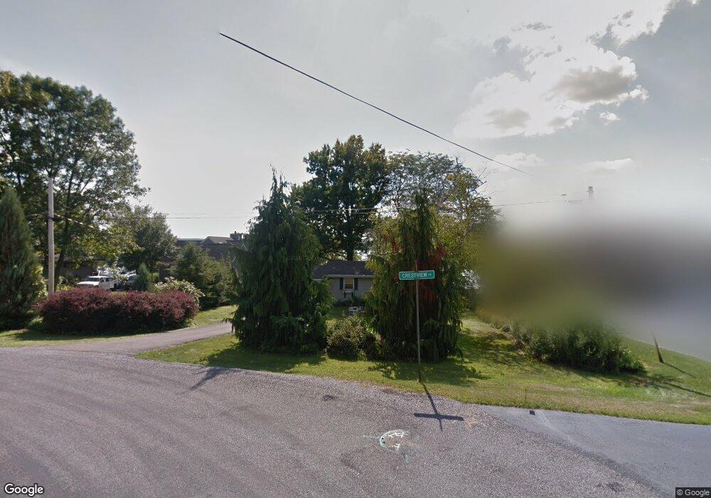
3727 Crestview Rd Bemus Point, NY 14712
Estimated Value: $246,000 - $2,093,965
5
Beds
6
Baths
5,024
Sq Ft
$233/Sq Ft
Est. Value
About This Home
This home is located at 3727 Crestview Rd, Bemus Point, NY 14712 and is currently estimated at $1,169,983, approximately $232 per square foot. 3727 Crestview Rd is a home located in Chautauqua County with nearby schools including Bemus Point Elementary School and Maple Grove Junior/Senior High School.
Ownership History
Date
Name
Owned For
Owner Type
Purchase Details
Closed on
Sep 30, 2015
Sold by
Woodwards Ian M
Bought by
Mawaka Scott
Current Estimated Value
Purchase Details
Closed on
Oct 1, 2010
Sold by
Yahn Alice
Bought by
Woodwards Ian
Home Financials for this Owner
Home Financials are based on the most recent Mortgage that was taken out on this home.
Original Mortgage
$200,000
Interest Rate
4.44%
Mortgage Type
Purchase Money Mortgage
Create a Home Valuation Report for This Property
The Home Valuation Report is an in-depth analysis detailing your home's value as well as a comparison with similar homes in the area
Home Values in the Area
Average Home Value in this Area
Purchase History
| Date | Buyer | Sale Price | Title Company |
|---|---|---|---|
| Mawaka Scott | $302,000 | Mark L Bargar | |
| Woodwards Ian | $310,000 | David R. Stapleton |
Source: Public Records
Mortgage History
| Date | Status | Borrower | Loan Amount |
|---|---|---|---|
| Previous Owner | Woodwards Ian | $200,000 |
Source: Public Records
Tax History
| Year | Tax Paid | Tax Assessment Tax Assessment Total Assessment is a certain percentage of the fair market value that is determined by local assessors to be the total taxable value of land and additions on the property. | Land | Improvement |
|---|---|---|---|---|
| 2024 | $28,617 | $961,600 | $176,000 | $785,600 |
| 2023 | $28,080 | $961,600 | $176,000 | $785,600 |
| 2022 | $27,043 | $961,600 | $176,000 | $785,600 |
| 2021 | $26,629 | $961,600 | $176,000 | $785,600 |
| 2020 | $26,667 | $961,600 | $176,000 | $785,600 |
| 2019 | $26,192 | $961,600 | $176,000 | $785,600 |
| 2018 | $26,192 | $961,600 | $176,000 | $785,600 |
| 2017 | $15,553 | $568,800 | $176,000 | $392,800 |
| 2016 | $7,791 | $310,000 | $176,000 | $134,000 |
| 2015 | -- | $310,000 | $176,000 | $134,000 |
| 2014 | -- | $310,000 | $176,000 | $134,000 |
Source: Public Records
Map
Nearby Homes
- 3971 Route 430
- 4032 Bemus Creek Rd
- 4943 Williams Ave
- 3467 Belleview Rd
- 27 Sunnyside Ave
- 34 Maple St
- 50 Lakeside Dr Unit B105
- 3695 Lakeland Rd
- 4085 Dutch Hollow Rd
- 29 Loomis Bay Rd
- 5236 Bly Hill Rd
- 168 Terrace Ln
- 4403 Belleview Rd
- 2449 Lakeside Dr
- VL Johnson
- 3588 Dutch Hollow Rd
- 2416 Keller Rd
- 4420 Lakeside Dr
- 2404 Lakeside Dr
- 5585 Eke Rd
- 3727 Crestview Dr
- 3723 Crestview Dr
- 3723 Crestview Rd
- 3733 Crestview Rd
- 3719 Crestview Dr
- 3719 Crestview Rd
- 3724 Crestview Rd
- 3734 Carol Dr
- 3713 Crestview Rd
- 3716 Crestview Rd
- 3739 Route 430
- 3709 Crestview Dr
- 0 Carol Dr
- 3709 Crestview Rd
- 3730 Carol Dr
- 3726 Carol Dr
- 3712 Crestview Dr
- 3799 Route 430
- 3705 Crestview Rd
- 3712 Crestview Rd
Your Personal Tour Guide
Ask me questions while you tour the home.