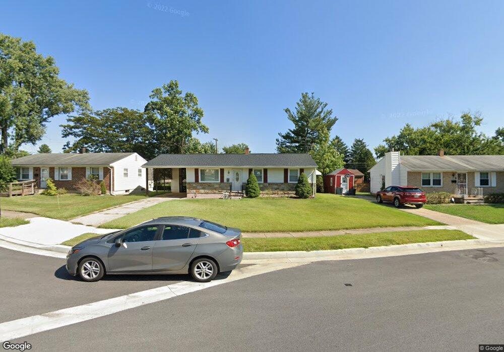
3727 Trent Rd Randallstown, MD 21133
Estimated Value: $339,461 - $423,000
4
Beds
3
Baths
1,052
Sq Ft
$359/Sq Ft
Est. Value
About This Home
This home is located at 3727 Trent Rd, Randallstown, MD 21133 and is currently estimated at $378,115, approximately $359 per square foot. 3727 Trent Rd is a home located in Baltimore County with nearby schools including Randallstown Elementary School, Deer Park Middle Magnet School, and Randallstown High School.
Ownership History
Date
Name
Owned For
Owner Type
Purchase Details
Closed on
Mar 17, 2010
Sold by
Waters Patricia
Bought by
Mcintyre George and Mcintyre Rita
Current Estimated Value
Purchase Details
Closed on
Oct 9, 2002
Sold by
Secretary Of Housing
Bought by
Waters Patricia
Purchase Details
Closed on
Mar 7, 2002
Sold by
Weeks Sharon
Bought by
Secretary Of Housing
Purchase Details
Closed on
Apr 6, 1999
Sold by
Smith Frank J
Bought by
Weeks Sharon
Create a Home Valuation Report for This Property
The Home Valuation Report is an in-depth analysis detailing your home's value as well as a comparison with similar homes in the area
Home Values in the Area
Average Home Value in this Area
Purchase History
| Date | Buyer | Sale Price | Title Company |
|---|---|---|---|
| Mcintyre George | $245,000 | -- | |
| Waters Patricia | $111,000 | -- | |
| Secretary Of Housing | $119,359 | -- | |
| Weeks Sharon | $100,000 | -- |
Source: Public Records
Tax History Compared to Growth
Tax History
| Year | Tax Paid | Tax Assessment Tax Assessment Total Assessment is a certain percentage of the fair market value that is determined by local assessors to be the total taxable value of land and additions on the property. | Land | Improvement |
|---|---|---|---|---|
| 2025 | $3,054 | $224,500 | -- | -- |
| 2024 | $3,054 | $202,500 | $73,500 | $129,000 |
| 2023 | $1,862 | $191,800 | $0 | $0 |
| 2022 | $4,211 | $181,100 | $0 | $0 |
| 2021 | $3,511 | $170,400 | $55,500 | $114,900 |
| 2020 | $3,511 | $166,367 | $0 | $0 |
| 2019 | $2,856 | $162,333 | $0 | $0 |
| 2018 | $2,730 | $158,300 | $55,500 | $102,800 |
| 2017 | $2,540 | $152,033 | $0 | $0 |
| 2016 | $2,537 | $145,767 | $0 | $0 |
| 2015 | $2,537 | $139,500 | $0 | $0 |
| 2014 | $2,537 | $139,500 | $0 | $0 |
Source: Public Records
Map
Nearby Homes
- 9202 Samoset Rd
- 9406 Painted Tree Dr
- 9208A Liberty Rd
- 3816 Cassandra Rd
- 9210 Liberty Rd
- 3805 Terka Cir
- 9112 Meadow Heights Rd
- 3854 Terka Cir
- 9044 Allenswood Rd
- 9401 Summer Squal Dr
- 9302 Silver Charm Dr
- 9012 Allenswood Rd
- 3705 Allenswood Ct
- 3506 Bayer Ave
- 4108 Brown Bark Cir
- 9519 Branchleigh Rd
- 20 Sunrise Ct
- 1205/99 Winands Rd
- 3418 Carroll Ave
- 3332 Offutt Rd