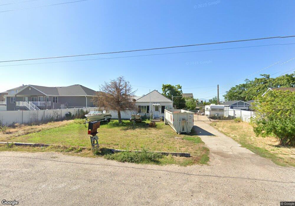
3727 W 1700 S Syracuse, UT 84075
Estimated Value: $403,672 - $433,000
3
Beds
1
Bath
1,132
Sq Ft
$367/Sq Ft
Est. Value
About This Home
This home is located at 3727 W 1700 S, Syracuse, UT 84075 and is currently estimated at $414,918, approximately $366 per square foot. 3727 W 1700 S is a home located in Davis County with nearby schools including Buffalo Point School, Syracuse Junior High School, and Syracuse High School.
Ownership History
Date
Name
Owned For
Owner Type
Purchase Details
Closed on
Mar 6, 2024
Sold by
Casatina Llc
Bought by
Cannon Mackenzie
Current Estimated Value
Home Financials for this Owner
Home Financials are based on the most recent Mortgage that was taken out on this home.
Original Mortgage
$379,008
Outstanding Balance
$372,925
Interest Rate
7.12%
Mortgage Type
FHA
Estimated Equity
$41,993
Purchase Details
Closed on
Jul 21, 2023
Sold by
Byrd Bill M
Bought by
Casadna Llc
Create a Home Valuation Report for This Property
The Home Valuation Report is an in-depth analysis detailing your home's value as well as a comparison with similar homes in the area
Home Values in the Area
Average Home Value in this Area
Purchase History
| Date | Buyer | Sale Price | Title Company |
|---|---|---|---|
| Cannon Mackenzie | -- | Old Republic Title | |
| Casadna Llc | -- | Real Advantage Title |
Source: Public Records
Mortgage History
| Date | Status | Borrower | Loan Amount |
|---|---|---|---|
| Open | Cannon Mackenzie | $379,008 |
Source: Public Records
Tax History Compared to Growth
Tax History
| Year | Tax Paid | Tax Assessment Tax Assessment Total Assessment is a certain percentage of the fair market value that is determined by local assessors to be the total taxable value of land and additions on the property. | Land | Improvement |
|---|---|---|---|---|
| 2025 | $1,915 | $184,800 | $84,753 | $100,047 |
| 2024 | $1,212 | $117,700 | $74,714 | $42,986 |
| 2023 | $1,644 | $291,000 | $150,538 | $140,462 |
| 2022 | $991 | $171,050 | $81,210 | $89,840 |
| 2021 | $991 | $232,000 | $117,653 | $114,347 |
| 2020 | $991 | $187,000 | $101,609 | $85,391 |
| 2019 | $991 | $165,000 | $101,753 | $63,247 |
| 2018 | $0 | $148,000 | $96,846 | $51,154 |
| 2016 | $898 | $67,100 | $37,543 | $29,557 |
| 2015 | $833 | $59,290 | $37,543 | $21,747 |
| 2014 | $891 | $64,652 | $37,543 | $27,109 |
| 2013 | $917 | $63,031 | $32,967 | $30,064 |
Source: Public Records
Map
Nearby Homes
- 1430 Heather Ln
- 3478 Brookshire Dr
- 3704 W 2170 S Unit 111
- 3867 Rungsted Cir
- 4191 W 1425 S
- 3951 Baltimore Cir
- 3360 W 2280 S
- 2982 S 3000 W
- 2912 S 3000 W
- 1084 S 4090 W
- 1238 S 4290 W
- 895 Dunes Dr
- 1157 S 4425 W
- 851 S 3525 W
- 4580 W 1700 S
- 3661 W 800 S
- 1155 S 4475 W
- 3565 W 800 S
- 1139 S 4475 W
- 1125 S 4475 W
- 3743 W 1700 S
- 1724 S 3720 W Unit 318
- 1724 S 3720 W
- 1731 S 3720 W Unit 317
- 1731 S 3720 W
- 1746 S 3720 W Unit 319
- 1743 S 3720 W Unit 316
- 1734 S 3660 W Unit 308
- 1722 S 3660 W Unit 307
- 1768 S 3720 W Unit 320
- 1761 S 3720 W Unit 315
- 1748 S 3660 W
- 1748 S 3660 W Unit 309
- 1766 S 3660 W Unit 310
- 1766 S 3660 W
- 1786 S 3720 W
- 1719 S 3660 W
- 1789 S 3720 W Unit 314
- 1789 S 3720 W
- 1733 S 3660 W