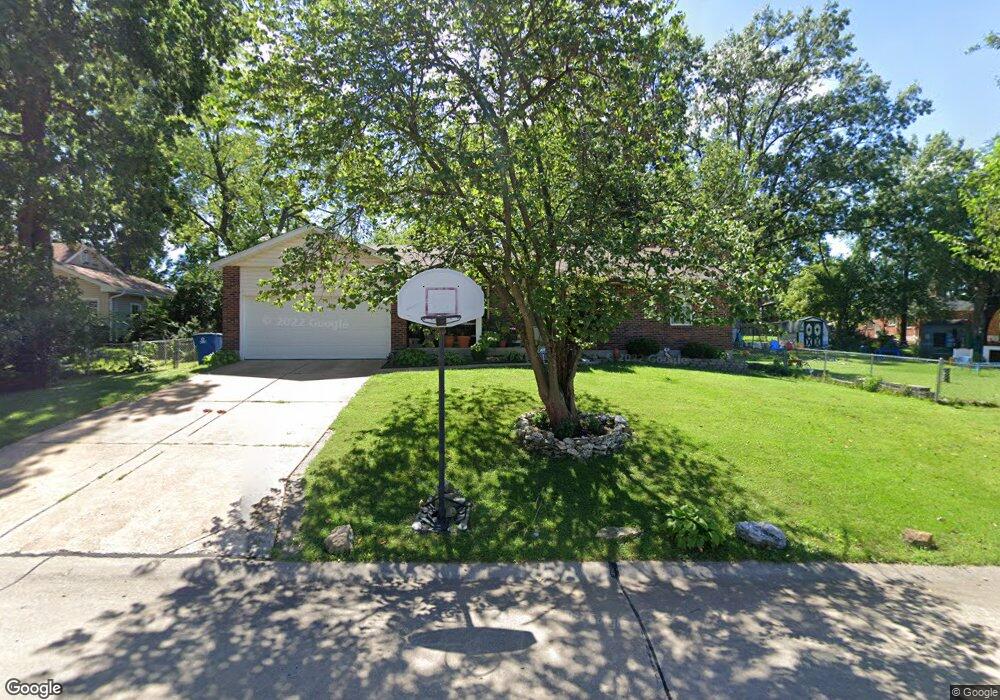
3728 Edwards Rd Saint Louis, MO 63125
Mehlville NeighborhoodEstimated Value: $286,000 - $306,657
3
Beds
2
Baths
1,502
Sq Ft
$197/Sq Ft
Est. Value
About This Home
This home is located at 3728 Edwards Rd, Saint Louis, MO 63125 and is currently estimated at $296,164, approximately $197 per square foot. 3728 Edwards Rd is a home located in St. Louis County with nearby schools including Bierbaum Elementary School, Margaret Buerkle Middle School, and Mehlville High School.
Ownership History
Date
Name
Owned For
Owner Type
Purchase Details
Closed on
Jan 6, 2009
Sold by
Hurt Dennis W and Hurt Marsha L
Bought by
Hurt Dennis W
Current Estimated Value
Home Financials for this Owner
Home Financials are based on the most recent Mortgage that was taken out on this home.
Original Mortgage
$111,000
Interest Rate
5.48%
Mortgage Type
New Conventional
Purchase Details
Closed on
Aug 4, 2000
Sold by
Hurt Dennis W
Bought by
Hurt Earl G and Hurt Doris Irene
Create a Home Valuation Report for This Property
The Home Valuation Report is an in-depth analysis detailing your home's value as well as a comparison with similar homes in the area
Home Values in the Area
Average Home Value in this Area
Purchase History
| Date | Buyer | Sale Price | Title Company |
|---|---|---|---|
| Hurt Dennis W | -- | Investors Title Company | |
| Hurt Earl G | -- | Capital Title |
Source: Public Records
Mortgage History
| Date | Status | Borrower | Loan Amount |
|---|---|---|---|
| Closed | Hurt Dennis W | $111,000 |
Source: Public Records
Tax History Compared to Growth
Tax History
| Year | Tax Paid | Tax Assessment Tax Assessment Total Assessment is a certain percentage of the fair market value that is determined by local assessors to be the total taxable value of land and additions on the property. | Land | Improvement |
|---|---|---|---|---|
| 2025 | $3,164 | $52,520 | $15,830 | $36,690 |
| 2024 | $3,164 | $46,650 | $9,500 | $37,150 |
| 2023 | $3,164 | $46,650 | $9,500 | $37,150 |
| 2022 | $2,983 | $41,350 | $10,300 | $31,050 |
| 2021 | $2,647 | $41,350 | $10,300 | $31,050 |
| 2020 | $2,639 | $39,220 | $9,500 | $29,720 |
| 2019 | $2,632 | $39,220 | $9,500 | $29,720 |
| 2018 | $2,756 | $37,110 | $6,820 | $30,290 |
| 2017 | $2,752 | $37,110 | $6,820 | $30,290 |
| 2016 | $2,173 | $28,030 | $3,140 | $24,890 |
| 2015 | $2,037 | $28,030 | $3,140 | $24,890 |
| 2014 | $1,808 | $24,590 | $3,270 | $21,320 |
Source: Public Records
Map
Nearby Homes
- 3301 Avenue H
- 3655 Colonia Place Dr Unit C
- 3656 Colonia Place Dr Unit C
- 3808 Southern Manor Dr
- 2959 Annunciation Dr
- 1117 Hawkstone Ln
- 3618 Tracey Rich Rd Unit 1B
- 1227 Coronation Dr
- 3707 Cordes Dr
- 4110 Lois Ln
- 4124 Lois Ln
- 2444 Via Miralesta Dr
- 2511 Senator Ct Unit B
- 2414 Via Miralesta Dr
- 2337 Birch Dr
- 4318 Sunridge Dr Unit C
- 2325 Pecan Dr
- 929 Peace Haven Dr
- 2669 Jonathan Dr
- 851 Poplar Dr