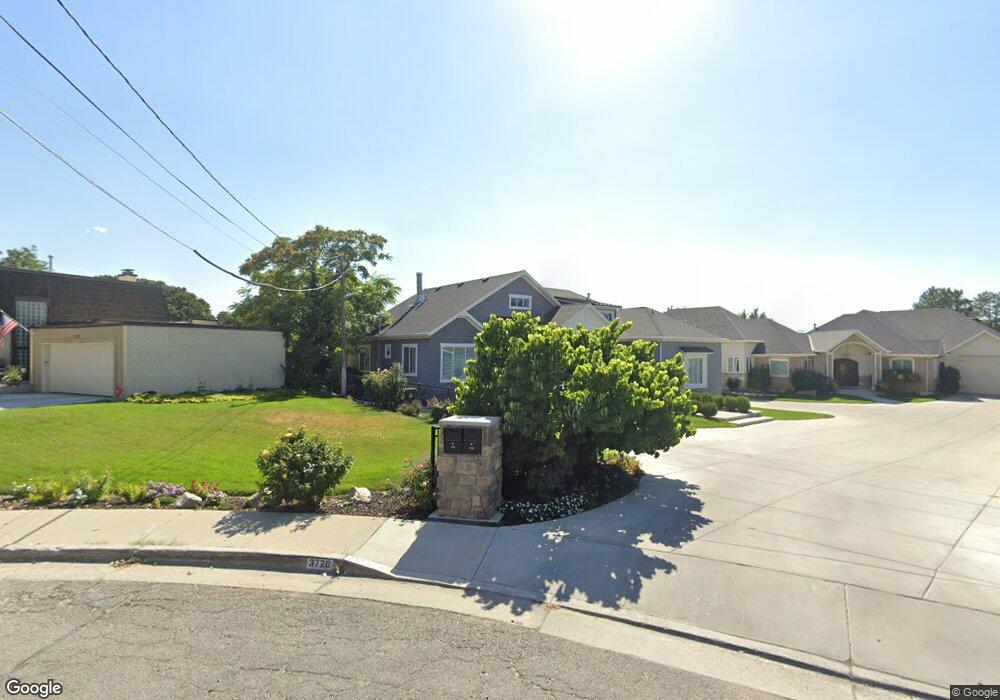
3728 S Cherrywood Cir Salt Lake City, UT 84106
East Millcreek NeighborhoodEstimated Value: $1,931,000 - $2,472,979
5
Beds
4
Baths
3,566
Sq Ft
$618/Sq Ft
Est. Value
About This Home
This home is located at 3728 S Cherrywood Cir, Salt Lake City, UT 84106 and is currently estimated at $2,204,326, approximately $618 per square foot. 3728 S Cherrywood Cir is a home located in Salt Lake County with nearby schools including William Penn Elementary School, Evergreen Junior High School, and Olympus High School.
Ownership History
Date
Name
Owned For
Owner Type
Purchase Details
Closed on
Nov 26, 2012
Sold by
Allred Amber and Allred Michael C
Bought by
Lewis Matthew and Lewis Amanda
Current Estimated Value
Home Financials for this Owner
Home Financials are based on the most recent Mortgage that was taken out on this home.
Original Mortgage
$652,000
Outstanding Balance
$450,878
Interest Rate
3.33%
Mortgage Type
New Conventional
Estimated Equity
$1,753,448
Purchase Details
Closed on
Sep 24, 2010
Sold by
Allred Amber and Allred Michael C
Bought by
Allred Amber and Allred Michael C
Purchase Details
Closed on
Sep 22, 2005
Sold by
Allred Amber
Bought by
Allred Michael C and Allred Amber
Home Financials for this Owner
Home Financials are based on the most recent Mortgage that was taken out on this home.
Original Mortgage
$184,000
Interest Rate
5.72%
Mortgage Type
Purchase Money Mortgage
Create a Home Valuation Report for This Property
The Home Valuation Report is an in-depth analysis detailing your home's value as well as a comparison with similar homes in the area
Home Values in the Area
Average Home Value in this Area
Purchase History
| Date | Buyer | Sale Price | Title Company |
|---|---|---|---|
| Lewis Matthew | -- | National Title Agency Llc | |
| Allred Amber | -- | Title One | |
| Allred Michael C | -- | Title One | |
| Allred Amber | -- | Title One |
Source: Public Records
Mortgage History
| Date | Status | Borrower | Loan Amount |
|---|---|---|---|
| Open | Lewis Matthew | $652,000 | |
| Previous Owner | Allred Amber | $184,000 |
Source: Public Records
Tax History Compared to Growth
Tax History
| Year | Tax Paid | Tax Assessment Tax Assessment Total Assessment is a certain percentage of the fair market value that is determined by local assessors to be the total taxable value of land and additions on the property. | Land | Improvement |
|---|---|---|---|---|
| 2025 | $11,031 | $1,923,700 | $488,800 | $1,434,900 |
| 2024 | $11,031 | $1,766,200 | $473,700 | $1,292,500 |
| 2023 | $10,007 | $1,546,700 | $355,900 | $1,190,800 |
| 2022 | $10,406 | $1,616,700 | $348,900 | $1,267,800 |
| 2021 | $10,091 | $1,359,300 | $309,300 | $1,050,000 |
| 2020 | $10,718 | $1,355,700 | $301,300 | $1,054,400 |
| 2019 | $10,284 | $1,277,200 | $286,400 | $990,800 |
| 2018 | $10,138 | $1,212,400 | $286,400 | $926,000 |
| 2017 | $9,399 | $1,177,800 | $286,400 | $891,400 |
| 2016 | $8,866 | $1,121,600 | $272,800 | $848,800 |
| 2015 | $8,331 | $986,500 | $321,100 | $665,400 |
| 2014 | $6,680 | $773,700 | $302,900 | $470,800 |
Source: Public Records
Map
Nearby Homes
- 1772 E Countryside Dr
- 1870 E 3900 S
- 1839 E Honeybrook Place
- 1801 E 3900 S
- 1818 E 3900 S
- 1977 E Millbrook Dr
- 3985 Arco Cir
- 1726 E Millcreek Way
- 1752 E Millcreek Cir
- 3404 S 2130 E
- 1555 E 3900 S Unit 208
- 1562 E 3900 S Unit 105
- 1562 E 3900 S Unit 106
- 1562 E 3900 S Unit 104
- 1562 E 3900 S Unit 107
- 1486 E Foxboro Dr #1 S Unit 1
- 2311 E Delia Dr
- 4129 Colt Haven Cir
- 2070 E 3335 S Unit 32
- 2070 E 3335 S Unit 13
- 3728 S Cherrywood Cir
- 3720 S Cherrywood Cir
- 3730 Cherrywood Cir
- 1926 Orchard Dr
- 1916 E Orchard Dr
- 1916 Orchard Dr
- 3727 S 1900 E
- 1946 Orchard Dr
- 1906 Orchard Dr
- 1947 Cherrywood Cir
- 1925 E 3780 S
- 1917 E 3780 S
- 1923 Orchard Dr
- 1923 E Orchard Dr
- 1954 Orchard Dr
- 1935 E Orchard Dr
- 1911 Orchard Dr
- 1929 E 3780 S
- 3730 S 1900 E
- 1911 E Orchard Dr