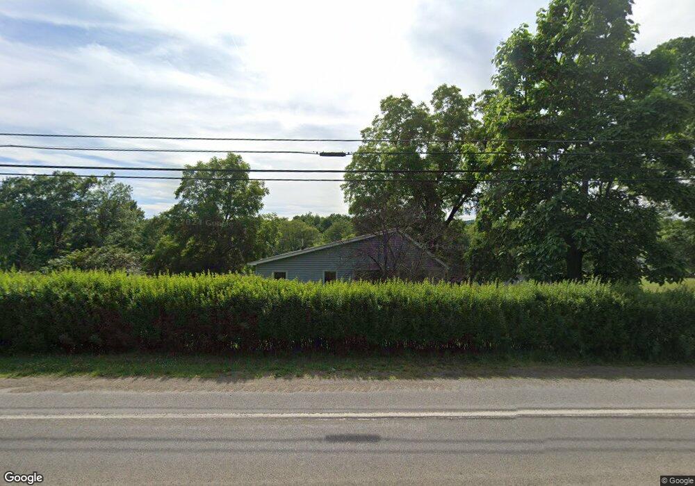
3729 Route 446 Eldred, PA 16731
Estimated Value: $140,563 - $173,000
3
Beds
2
Baths
1,168
Sq Ft
$138/Sq Ft
Est. Value
About This Home
This home is located at 3729 Route 446, Eldred, PA 16731 and is currently estimated at $160,641, approximately $137 per square foot. 3729 Route 446 is a home located in McKean County with nearby schools including Otto-Eldred Elementary School and Otto-Eldred Junior/Senior High School.
Ownership History
Date
Name
Owned For
Owner Type
Purchase Details
Closed on
Oct 3, 2022
Sold by
Wilber Wayne M and Wilber Deborah D
Bought by
Syder Gene
Current Estimated Value
Home Financials for this Owner
Home Financials are based on the most recent Mortgage that was taken out on this home.
Original Mortgage
$135,036
Outstanding Balance
$129,808
Interest Rate
5.89%
Mortgage Type
VA
Estimated Equity
$30,833
Purchase Details
Closed on
Jul 31, 2013
Sold by
Schetrum Leonard J and Schetrum Patricia A
Bought by
Wilber Wayne M and Wilber Deborah D
Home Financials for this Owner
Home Financials are based on the most recent Mortgage that was taken out on this home.
Original Mortgage
$73,000
Interest Rate
3.95%
Mortgage Type
New Conventional
Create a Home Valuation Report for This Property
The Home Valuation Report is an in-depth analysis detailing your home's value as well as a comparison with similar homes in the area
Purchase History
| Date | Buyer | Sale Price | Title Company |
|---|---|---|---|
| Syder Gene | -- | -- | |
| Wilber Wayne M | $78,500 | None Available |
Source: Public Records
Mortgage History
| Date | Status | Borrower | Loan Amount |
|---|---|---|---|
| Open | Syder Gene | $135,036 | |
| Previous Owner | Wilber Wayne M | $73,000 |
Source: Public Records
Tax History
| Year | Tax Paid | Tax Assessment Tax Assessment Total Assessment is a certain percentage of the fair market value that is determined by local assessors to be the total taxable value of land and additions on the property. | Land | Improvement |
|---|---|---|---|---|
| 2025 | $1,780 | $47,570 | $13,240 | $34,330 |
| 2024 | $1,656 | $47,570 | $13,240 | $34,330 |
| 2023 | $1,683 | $47,570 | $13,240 | $34,330 |
| 2022 | $1,642 | $47,160 | $13,240 | $33,920 |
| 2021 | $1,629 | $47,160 | $13,240 | $33,920 |
| 2020 | $1,629 | $47,160 | $13,240 | $33,920 |
| 2019 | $1,629 | $47,160 | $13,240 | $33,920 |
| 2018 | $15 | $47,160 | $13,240 | $33,920 |
| 2017 | -- | $47,160 | $13,240 | $33,920 |
| 2016 | $481 | $47,160 | $13,240 | $33,920 |
| 2015 | $481 | $47,160 | $13,240 | $33,920 |
| 2014 | $481 | $47,160 | $13,240 | $33,920 |
Source: Public Records
Map
Nearby Homes
- 22 Park Ave
- 33 Edson St
- 26 King St
- 1470 Barden Brook Rd
- 22 King St
- 173 Barden Brook
- 1521 Prentisvale Rd
- 887 Barnum Rd
- 787 Champlin Hill Rd
- 801 Annin Creek Rd
- 1368 Looker Mountain Trail
- 469 N Branch Rd
- 296 Prosser Rd
- 00 Columbia Hill Rd
- 659 Birch Run Rd
- 31 Temple St
- 83 Brooklyn St
- 299 Bells Brook Rd
- 0 Steam Valley Rd Unit R1658301
- 1036 Portville Olean Rd
- 3729 Route 446
- 3747 Route 446
- 3754 Route 446
- 0 Haymaker Rd Unit R1305401
- 00 Off Windfall Hollow Rd
- 0 Sartwell Newell Creek Rd Unit R1297948
- 3770 Route 446
- 3665 Route 446
- 3810 Route 446
- 4 Main St
- 16 Main St
- 21 Canfield Hollow
- 76 Canfield Hollow
- 13 Wright Rd
- 14 Wright Rd
- 17 Main St
- 17 Main St
- 100 Canfield Hollow
- 18 Main St
- 21 Main St
Your Personal Tour Guide
Ask me questions while you tour the home.