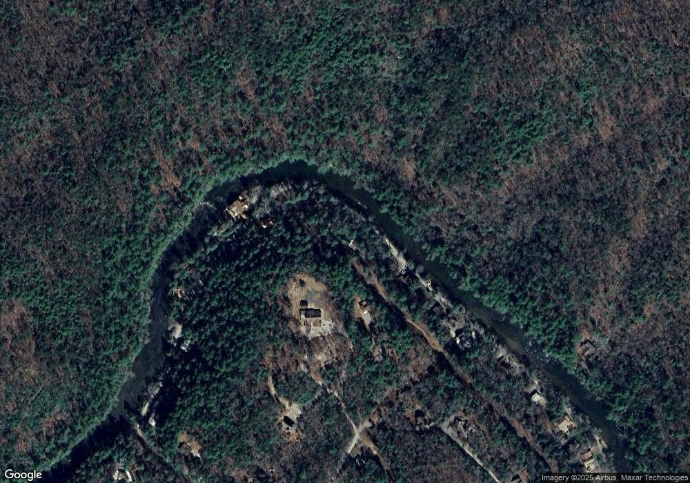
373 Adelaide Dr Blue Ridge, GA 30513
Estimated Value: $608,000 - $696,000
--
Bed
--
Bath
1,456
Sq Ft
$455/Sq Ft
Est. Value
About This Home
This home is located at 373 Adelaide Dr, Blue Ridge, GA 30513 and is currently estimated at $662,490, approximately $455 per square foot. 373 Adelaide Dr is a home with nearby schools including Fannin County High School.
Ownership History
Date
Name
Owned For
Owner Type
Purchase Details
Closed on
Aug 4, 2008
Sold by
Cook Earnest R
Bought by
Blizzard Michael Wayne Bl
Current Estimated Value
Purchase Details
Closed on
Dec 11, 2007
Sold by
Cook Ernest R
Bought by
Blizzard Michael Wayne
Purchase Details
Closed on
Mar 10, 1998
Sold by
Nece Everett R
Bought by
Cook Ernest R
Purchase Details
Closed on
May 13, 1974
Sold by
Prescott Richard H
Bought by
Blizzard Clarence
Purchase Details
Closed on
Feb 22, 1972
Sold by
Blizzard Clarence V
Bought by
Blizzard Clarence V and Blizzard Michael
Purchase Details
Closed on
Jun 22, 1970
Sold by
Nece Everett R
Bought by
Cook Ernest R
Purchase Details
Closed on
Jan 1, 1959
Sold by
Mccarty Adelaide
Bought by
Mccormick Houstin
Create a Home Valuation Report for This Property
The Home Valuation Report is an in-depth analysis detailing your home's value as well as a comparison with similar homes in the area
Home Values in the Area
Average Home Value in this Area
Purchase History
| Date | Buyer | Sale Price | Title Company |
|---|---|---|---|
| Blizzard Michael Wayne Bl | -- | -- | |
| Blizzard Michael Wayne | $5,000 | -- | |
| Cook Ernest R | $1,300 | -- | |
| Blizzard Clarence | $3,500 | -- | |
| Blizzard Clarence V | -- | -- | |
| Cook Ernest R | $1,300 | -- | |
| Prescott Richard H | $1,300 | -- | |
| Mccormick Houstin | $1,500 | -- |
Source: Public Records
Tax History Compared to Growth
Tax History
| Year | Tax Paid | Tax Assessment Tax Assessment Total Assessment is a certain percentage of the fair market value that is determined by local assessors to be the total taxable value of land and additions on the property. | Land | Improvement |
|---|---|---|---|---|
| 2024 | $1,819 | $198,468 | $56,990 | $141,478 |
| 2023 | $1,675 | $164,299 | $49,976 | $114,323 |
| 2022 | $1,688 | $165,576 | $49,976 | $115,600 |
| 2021 | $1,552 | $110,668 | $47,697 | $62,971 |
| 2020 | $1,577 | $110,668 | $47,697 | $62,971 |
| 2019 | $1,648 | $113,385 | $50,414 | $62,971 |
| 2018 | $1,747 | $113,385 | $50,414 | $62,971 |
| 2017 | $2,022 | $114,278 | $50,414 | $63,864 |
| 2016 | $1,628 | $95,880 | $34,632 | $61,248 |
| 2015 | $1,720 | $96,953 | $43,290 | $53,663 |
| 2014 | $1,863 | $104,687 | $51,024 | $53,663 |
| 2013 | -- | $104,686 | $51,024 | $53,662 |
Source: Public Records
Map
Nearby Homes
- 40 Adelaide Trail
- 210 White Pine Acres Dr
- 916 Riverside Ln
- 7022 Aska Rd
- 55 River Bend Ln
- 283 River Bend Ln
- Lot 1 S Aska Rd
- LOT 68 Riverwalk On the Toccoa
- 80 Harrison & Ada Rd
- 80 Harrison and Ada Rd
- 556 Flat Creek Cir
- 671 Stover Knob Trail
- 250 Harrison and Ada Rd
- 100 Stanley Creek Rd
- 145 Rocky Top Rd
- 500 Harrison & Ada Rd
- 504 Bell Camp Ridge Rd
- 155 Adelaide Dr
- 520 Riverside Ln
- 40 Adelaide Dr
- 420 Riverside Ln
- 540 Riverside Ln
- 100 Adelaide Trail
- 353 Riverside Ln
- 153 Adelaide Dr
- 574 Riverside Ln
- 36 Adelaide Dr
- 328 Riverside Ln
- L 4/5 Riverside Ln
- LOT28 Riverside Ln
- 27 Riverside Ln
- 19.5 Riverside Ln
- 148 Partin Road Adelaide Dr
- 600 Riverside Ln
- 36 Adelaide Trail
- 287 Riverside Ln
- 0 Adelaide Trail
