373 Brushy Ridge Rd Maysville, WV 26833
Estimated Value: $196,167 - $263,000
3
Beds
2
Baths
1,248
Sq Ft
$194/Sq Ft
Est. Value
About This Home
This home is located at 373 Brushy Ridge Rd, Maysville, WV 26833 and is currently estimated at $241,792, approximately $193 per square foot. 373 Brushy Ridge Rd is a home with nearby schools including Maysville Elementary School and Petersburg High School.
Ownership History
Date
Name
Owned For
Owner Type
Purchase Details
Closed on
Jan 21, 2025
Sold by
Harvey-Rexroad Crystal L
Bought by
Tharp Andrew R and Tharp Asia R
Current Estimated Value
Home Financials for this Owner
Home Financials are based on the most recent Mortgage that was taken out on this home.
Original Mortgage
$145,500
Outstanding Balance
$144,178
Interest Rate
6.6%
Mortgage Type
New Conventional
Estimated Equity
$97,614
Purchase Details
Closed on
Oct 25, 2019
Sold by
Rexford Shane M
Bought by
Harvey Rexroad Crystal L
Purchase Details
Closed on
Apr 14, 2005
Sold by
Evans Verlin R and Evans Thelma P
Bought by
Rexroad Shane M and Rexroad Crystal L
Create a Home Valuation Report for This Property
The Home Valuation Report is an in-depth analysis detailing your home's value as well as a comparison with similar homes in the area
Home Values in the Area
Average Home Value in this Area
Purchase History
| Date | Buyer | Sale Price | Title Company |
|---|---|---|---|
| Tharp Andrew R | $210,000 | None Listed On Document | |
| Harvey Rexroad Crystal L | -- | None Available | |
| Rexroad Shane M | -- | -- |
Source: Public Records
Mortgage History
| Date | Status | Borrower | Loan Amount |
|---|---|---|---|
| Open | Tharp Andrew R | $145,500 |
Source: Public Records
Tax History Compared to Growth
Tax History
| Year | Tax Paid | Tax Assessment Tax Assessment Total Assessment is a certain percentage of the fair market value that is determined by local assessors to be the total taxable value of land and additions on the property. | Land | Improvement |
|---|---|---|---|---|
| 2025 | $536 | $68,940 | $16,200 | $52,740 |
| 2024 | $561 | $69,840 | $16,200 | $53,640 |
| 2023 | $545 | $67,920 | $16,200 | $51,720 |
| 2022 | $540 | $67,320 | $16,200 | $51,120 |
| 2021 | $546 | $68,040 | $16,200 | $51,840 |
| 2020 | $541 | $67,380 | $16,200 | $51,180 |
| 2019 | $460 | $67,740 | $16,200 | $51,540 |
| 2018 | $463 | $68,160 | $16,200 | $51,960 |
| 2017 | $465 | $68,520 | $16,200 | $52,320 |
| 2016 | $477 | $70,260 | $16,200 | $54,060 |
| 2015 | $480 | $70,620 | $16,200 | $54,420 |
| 2014 | $467 | $68,820 | $16,200 | $52,620 |
Source: Public Records
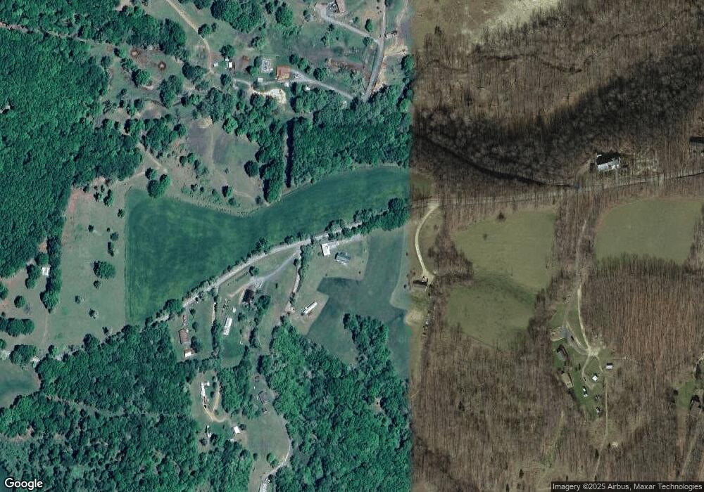
Map
Nearby Homes
- 7642 Jordan Run Rd
- 230 Polar Bear Rd
- 510 Shamrock Dr
- 2381 Powers Hollow Rd
- 1294 Winding Ln
- 1079 Little Mountain
- 93 Adare Ln
- 1039 High Point Dr
- 149 Stratus Dr
- 775 Corner Rd
- 2467 Roby Rd
- 0 Roby Rd
- 7 Circle Dr
- 107 Trout Ln
- 401 Nighthawk Dr
- 547 Haven Farms Cir
- Lot 147 Cabin Mountain Rd
- 133 Upper Hawk Ridge Rd
- 641 Paul Stahl Rd
- 96 Sunfish Ct
- 24 Wilderness Drive Corner
- 7 Sugarcamp Dr
- 130 Sugarcamp Dr
- 100 Darlene Evans Farm Rd
- 214 Sugarcamp Dr
- 155 Iron Horse Rd
- 150 Brushy Ridge Rd
- 71 Brushy Ridge Rd
- 7575 Jordan Run Rd
- 7609 Jordan Run Rd
- 7667 Jordan Run Rd
- 7748 Jordan Run Rd
- 7937 Jordan Run Rd
- 610 Big Starr Ln
- 8009 Jordan Run Rd
- 7942 Jordan Run Rd
- 8105 Jordan Run Rd
- 8008 Jordan Run Rd
- 8096 Jordan Run Rd
- 8439 Jordan Run Rd